357 S Fairview Rd West Branch, MI 48661
Estimated Value: $211,000 - $291,702
4
Beds
2
Baths
2,100
Sq Ft
$125/Sq Ft
Est. Value
About This Home
This home is located at 357 S Fairview Rd, West Branch, MI 48661 and is currently estimated at $262,926, approximately $125 per square foot. 357 S Fairview Rd is a home located in Ogemaw County with nearby schools including Surline Elementary School, Surline Middle School, and Ogemaw Heights High School.
Ownership History
Date
Name
Owned For
Owner Type
Purchase Details
Closed on
Feb 27, 2013
Sold by
Firstbank West Branch Mortgage Company
Bought by
Bg Management Llc
Current Estimated Value
Purchase Details
Closed on
Jun 16, 2011
Sold by
Shipman Daniel R and Shipman
Bought by
Firstbank - West Branch Mortgage Company
Purchase Details
Closed on
Nov 20, 2008
Sold by
Branch Firstbank - West
Bought by
Shipman Daniel R
Home Financials for this Owner
Home Financials are based on the most recent Mortgage that was taken out on this home.
Original Mortgage
$93,500
Interest Rate
5.95%
Purchase Details
Closed on
Mar 23, 2007
Sold by
Rau Bonnie J
Bought by
Fitzgerald Scott D
Create a Home Valuation Report for This Property
The Home Valuation Report is an in-depth analysis detailing your home's value as well as a comparison with similar homes in the area
Home Values in the Area
Average Home Value in this Area
Purchase History
| Date | Buyer | Sale Price | Title Company |
|---|---|---|---|
| Bg Management Llc | $28,000 | -- | |
| Firstbank - West Branch Mortgage Company | $103,089 | -- | |
| Shipman Daniel R | $95,000 | -- | |
| Fitzgerald Scott D | -- | -- |
Source: Public Records
Mortgage History
| Date | Status | Borrower | Loan Amount |
|---|---|---|---|
| Previous Owner | Shipman Daniel R | $93,500 |
Source: Public Records
Tax History Compared to Growth
Tax History
| Year | Tax Paid | Tax Assessment Tax Assessment Total Assessment is a certain percentage of the fair market value that is determined by local assessors to be the total taxable value of land and additions on the property. | Land | Improvement |
|---|---|---|---|---|
| 2025 | $3,205 | $107,500 | $0 | $0 |
| 2024 | $9 | $105,300 | $0 | $0 |
| 2023 | $895 | $98,200 | $0 | $0 |
| 2022 | $2,995 | $80,400 | $0 | $0 |
| 2021 | $2,832 | $76,600 | $0 | $0 |
| 2020 | $2,869 | $70,900 | $0 | $0 |
| 2019 | $2,653 | $68,200 | $0 | $0 |
| 2018 | $2,591 | $67,500 | $0 | $0 |
| 2017 | $2,448 | $66,800 | $0 | $0 |
| 2016 | $2,424 | $64,600 | $0 | $0 |
| 2015 | $608 | $18,100 | $0 | $0 |
| 2014 | $601 | $15,300 | $0 | $0 |
Source: Public Records
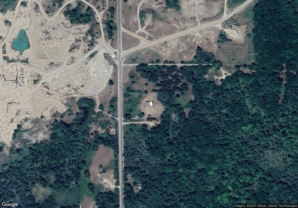
Map
Nearby Homes
- 3086 Gradowski R#3 Dr
- 0 Fox Run Rd Unit 1874470
- 2301 Birchcrest Dr
- 2249 W State Rd
- 0 Fairview Rd Unit 1939430
- 324 N 4th St
- 268 Windemere Place Unit 14B
- 272 Windemere Place Unit 14A
- 240 N Burgess St
- 195 Fremont St
- 227 N 1st St
- 106 S Valley St
- 206 Highland St
- Parcel 1 M-76
- Parcel 2 M-76
- 2190 Fox Run
- 2249 Fox Run
- 0 S First St Unit 1932836
- 315 S 4th St
- 361 Irons Park Dr
- 293 S Fairview Rd
- 373 S Fairview Rd
- 166 Marshview Dr
- 168 Marshview Dr
- 413 S Fairview Rd
- 311 S Fairview Rd
- 400 S Fairview Rd
- 610 S Fairview Rd
- 0 Marshview Dr
- 2442 W Engel Rd
- 476 S Fairview Rd
- 2410 W Engel Rd
- 2483 W Engel Rd
- 2336 W Engel Rd
- 2336 W Engel Rd
- 2450 W Engel Rd
- 2336 W Engel Rd
- 2348 W Engel Rd
- 2398 W Engel Rd
- 2407 W Engel Rd