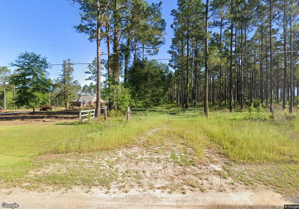
357 Sauls Rd Moultrie, GA 31768
Estimated Value: $443,000 - $775,885
--
Bed
4
Baths
4,086
Sq Ft
$144/Sq Ft
Est. Value
About This Home
This home is located at 357 Sauls Rd, Moultrie, GA 31768 and is currently estimated at $588,295, approximately $143 per square foot. 357 Sauls Rd is a home located in Colquitt County with nearby schools including Sunset Elementary School, Willie J. Williams Middle School, and C.A. Gray Junior High School.
Ownership History
Date
Name
Owned For
Owner Type
Purchase Details
Closed on
Oct 23, 2007
Sold by
Williams Jeffery C
Bought by
Hunnicutt Properties Llc
Current Estimated Value
Home Financials for this Owner
Home Financials are based on the most recent Mortgage that was taken out on this home.
Original Mortgage
$126,833
Interest Rate
6.37%
Mortgage Type
New Conventional
Purchase Details
Closed on
Mar 11, 1994
Bought by
Williams Jeffery C
Create a Home Valuation Report for This Property
The Home Valuation Report is an in-depth analysis detailing your home's value as well as a comparison with similar homes in the area
Home Values in the Area
Average Home Value in this Area
Purchase History
| Date | Buyer | Sale Price | Title Company |
|---|---|---|---|
| Hunnicutt Properties Llc | $130,000 | -- | |
| Williams Jeffery C | $20,000 | -- |
Source: Public Records
Mortgage History
| Date | Status | Borrower | Loan Amount |
|---|---|---|---|
| Closed | Hunnicutt Properties Llc | $126,833 |
Source: Public Records
Tax History Compared to Growth
Tax History
| Year | Tax Paid | Tax Assessment Tax Assessment Total Assessment is a certain percentage of the fair market value that is determined by local assessors to be the total taxable value of land and additions on the property. | Land | Improvement |
|---|---|---|---|---|
| 2024 | $5,485 | $269,262 | $31,340 | $237,922 |
| 2023 | $5,636 | $212,533 | $31,340 | $181,193 |
| 2022 | $4,638 | $196,803 | $27,858 | $168,945 |
| 2021 | $4,434 | $184,587 | $27,858 | $156,729 |
| 2020 | $4,340 | $177,585 | $27,858 | $149,727 |
| 2019 | $4,635 | $170,615 | $27,858 | $142,757 |
| 2018 | $4,364 | $170,615 | $27,858 | $142,757 |
| 2017 | $4,499 | $167,300 | $24,543 | $142,757 |
| 2016 | $4,559 | $167,300 | $24,543 | $142,757 |
| 2015 | $4,601 | $167,300 | $24,543 | $142,757 |
| 2014 | $4,515 | $167,300 | $24,543 | $142,757 |
| 2013 | -- | $167,300 | $24,543 | $142,757 |
Source: Public Records
Map
Nearby Homes
- 1215 12th St SW
- 0 Gatewood Cir Unit 1652303
- 2010 West Blvd
- 904 Barbara Cir
- 905 Barbara Cir
- 219 Cox Dairy Rd
- 216 Circle Rd
- 1159 6th St SW
- 1712 Villa Dr SW
- 1160 4th St SW
- 1546 Ivy Ln
- 1175 4th St SW
- 182 Mcginty Rd
- 515 8th St SW
- 1310 S Main St
- 908 3rd Ave SW
- 1777 S Main St
- 1321 Hallmark Dr
- 601 4th Ave SW
- 610 4th Ave SW