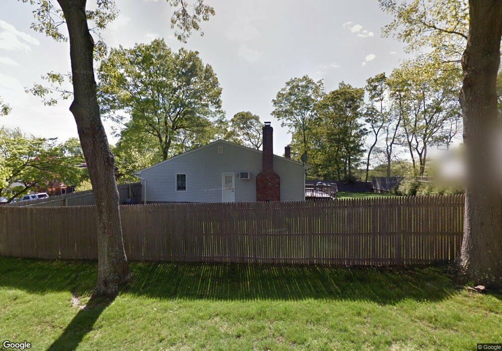
357 Shelter Rd Ronkonkoma, NY 11779
Estimated Value: $538,000 - $711,000
--
Bed
--
Bath
--
Sq Ft
0.26
Acres
About This Home
This home is located at 357 Shelter Rd, Ronkonkoma, NY 11779 and is currently estimated at $630,878. 357 Shelter Rd is a home located in Suffolk County with nearby schools including Cherokee Street Elementary School, Ronkonkoma Middle School, and Connetquot High School.
Ownership History
Date
Name
Owned For
Owner Type
Purchase Details
Closed on
Dec 9, 2023
Sold by
Calda Frank and Calda Stacy
Bought by
Calda Stacy
Current Estimated Value
Purchase Details
Closed on
May 19, 2005
Sold by
Lapine Michael
Bought by
Calda Frank
Purchase Details
Closed on
Sep 18, 2001
Sold by
Dilallo Carl S and Dilallo Maria
Bought by
Lapine Michael and Lapine Donna L
Home Financials for this Owner
Home Financials are based on the most recent Mortgage that was taken out on this home.
Original Mortgage
$184,500
Interest Rate
6.98%
Create a Home Valuation Report for This Property
The Home Valuation Report is an in-depth analysis detailing your home's value as well as a comparison with similar homes in the area
Home Values in the Area
Average Home Value in this Area
Purchase History
| Date | Buyer | Sale Price | Title Company |
|---|---|---|---|
| Calda Stacy | -- | None Available | |
| Calda Frank | $400,000 | James Denetriou | |
| Lapine Michael | $205,000 | Fidelity National Title Ins |
Source: Public Records
Mortgage History
| Date | Status | Borrower | Loan Amount |
|---|---|---|---|
| Previous Owner | Lapine Michael | $184,500 |
Source: Public Records
Tax History Compared to Growth
Tax History
| Year | Tax Paid | Tax Assessment Tax Assessment Total Assessment is a certain percentage of the fair market value that is determined by local assessors to be the total taxable value of land and additions on the property. | Land | Improvement |
|---|---|---|---|---|
| 2024 | $10,286 | $39,000 | $11,000 | $28,000 |
| 2023 | $10,286 | $39,000 | $11,000 | $28,000 |
| 2022 | $9,028 | $39,000 | $11,000 | $28,000 |
| 2021 | $9,028 | $39,000 | $11,000 | $28,000 |
| 2020 | $9,472 | $39,000 | $11,000 | $28,000 |
| 2019 | $9,472 | $0 | $0 | $0 |
| 2018 | -- | $39,000 | $11,000 | $28,000 |
| 2017 | $9,032 | $39,000 | $11,000 | $28,000 |
| 2016 | $9,020 | $39,000 | $11,000 | $28,000 |
| 2015 | -- | $39,000 | $11,000 | $28,000 |
| 2014 | -- | $39,000 | $11,000 | $28,000 |
Source: Public Records
Map
Nearby Homes
- 143 Belle Ave
- 2452 Motor Pkwy
- 277 Shelter Rd
- 294 Fir Grove Rd
- 281 Fir Grove Rd Unit 4
- 4478 Express Dr S
- 2572 Motor Pkwy
- 268 Haven Ave
- 394 Central Islip Blvd
- 2810 Chestnut Ave
- 231 Shelter Rd
- 22 Lake Shore Dr
- 3 Broadway
- 35 Lake Shore Dr
- 84 Broadway
- 8 Adolphi Place
- 529 Elder Ln
- 48 W 5th St
- 129 Springdale Dr
- 99 W 2nd St
- 48 Flint Place
- 105 Belle Ave
- 365 Shelter Rd
- 358 Shelter Rd Unit 1
- 354 Shelter Rd
- 42 Flint Place
- 111 Belle Ave
- 362 Shelter Rd
- 85 Belle Ave
- 366 Shelter Rd
- 113 Belle Ave Unit 3
- 369 Shelter Rd
- 36 Flint Place
- 69 Belle Ave
- 366 Ontario St
- 104 Belle Ave
- 355 Wildwood Rd
- 119 Belle Ave
- 370 Shelter Rd
- 359 Wildwood Rd