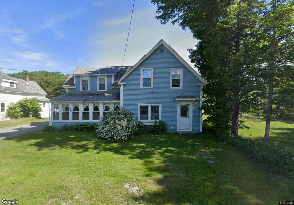
357 Shore Rd Ellsworth, ME 04605
Estimated Value: $247,000 - $343,000
4
Beds
1
Bath
1,352
Sq Ft
$219/Sq Ft
Est. Value
About This Home
This home is located at 357 Shore Rd, Ellsworth, ME 04605 and is currently estimated at $295,413, approximately $218 per square foot. 357 Shore Rd is a home located in Hancock County with nearby schools including Sumner Memorial High School, Kidspeace National Centers of New England, and Graham Lake School.
Ownership History
Date
Name
Owned For
Owner Type
Purchase Details
Closed on
Jun 21, 2019
Sold by
Cirard-Carlisle Pamela J
Bought by
Carlisle Pamela J
Current Estimated Value
Home Financials for this Owner
Home Financials are based on the most recent Mortgage that was taken out on this home.
Original Mortgage
$225,000
Outstanding Balance
$196,697
Interest Rate
3.82%
Mortgage Type
FHA
Estimated Equity
$98,716
Create a Home Valuation Report for This Property
The Home Valuation Report is an in-depth analysis detailing your home's value as well as a comparison with similar homes in the area
Home Values in the Area
Average Home Value in this Area
Purchase History
| Date | Buyer | Sale Price | Title Company |
|---|---|---|---|
| Carlisle Pamela J | -- | -- |
Source: Public Records
Mortgage History
| Date | Status | Borrower | Loan Amount |
|---|---|---|---|
| Open | Carlisle Pamela J | $225,000 |
Source: Public Records
Tax History Compared to Growth
Tax History
| Year | Tax Paid | Tax Assessment Tax Assessment Total Assessment is a certain percentage of the fair market value that is determined by local assessors to be the total taxable value of land and additions on the property. | Land | Improvement |
|---|---|---|---|---|
| 2024 | $2,806 | $160,800 | $15,240 | $145,560 |
| 2023 | $2,465 | $142,485 | $14,605 | $127,880 |
| 2022 | $2,237 | $142,485 | $14,605 | $127,880 |
| 2021 | $2,088 | $115,800 | $12,700 | $103,100 |
| 2020 | $2,160 | $115,100 | $12,700 | $102,400 |
| 2019 | $2,165 | $115,100 | $12,700 | $102,400 |
| 2018 | $2,099 | $115,100 | $12,700 | $102,400 |
| 2017 | $2,054 | $114,300 | $12,700 | $101,600 |
| 2016 | $2,021 | $114,300 | $12,700 | $101,600 |
| 2015 | $2,023 | $114,300 | $12,700 | $101,600 |
| 2014 | $1,880 | $114,300 | $12,700 | $101,600 |
| 2012 | $1,766 | $114,300 | $12,700 | $101,600 |
Source: Public Records
Map
Nearby Homes