357 Skipper Dr Kimberling City, MO 65686
Estimated Value: $441,637 - $581,000
Studio
--
Bath
1,453
Sq Ft
$350/Sq Ft
Est. Value
About This Home
This home is located at 357 Skipper Dr, Kimberling City, MO 65686 and is currently estimated at $508,409, approximately $349 per square foot. 357 Skipper Dr is a home with nearby schools including Reeds Spring Primary School, Reeds Spring Elementary School, and Reeds Spring Middle School.
Ownership History
Date
Name
Owned For
Owner Type
Purchase Details
Closed on
Mar 3, 2025
Sold by
Babb Kenneth Alan and Babb Dawn Marie
Bought by
Ken And Dawn Babb Living Trust and Babb
Current Estimated Value
Purchase Details
Closed on
Dec 29, 2020
Sold by
Babb Kenneth Alan and Babb Dawn Marie
Bought by
Babb Kenneth Alan and Babb Dawn Marie
Purchase Details
Closed on
Aug 11, 2017
Sold by
Babb Kevin W and Babb Angela K
Bought by
Babb Kenneth A and Babb Dawn M
Home Financials for this Owner
Home Financials are based on the most recent Mortgage that was taken out on this home.
Original Mortgage
$262,800
Interest Rate
4.03%
Mortgage Type
New Conventional
Purchase Details
Closed on
Jun 29, 2017
Sold by
Auwerda Marion A and Auwerda Marion L
Bought by
Babb Kevin W and Babb Angela K
Home Financials for this Owner
Home Financials are based on the most recent Mortgage that was taken out on this home.
Original Mortgage
$262,800
Interest Rate
4.03%
Mortgage Type
New Conventional
Create a Home Valuation Report for This Property
The Home Valuation Report is an in-depth analysis detailing your home's value as well as a comparison with similar homes in the area
Home Values in the Area
Average Home Value in this Area
Purchase History
| Date | Buyer | Sale Price | Title Company |
|---|---|---|---|
| Ken And Dawn Babb Living Trust | -- | None Listed On Document | |
| Babb Kenneth Alan | -- | None Listed On Document | |
| Babb Kenneth A | -- | None Available | |
| Babb Kevin W | -- | None Available |
Source: Public Records
Mortgage History
| Date | Status | Borrower | Loan Amount |
|---|---|---|---|
| Previous Owner | Babb Kenneth A | $262,800 | |
| Previous Owner | Babb Kevin W | $173,500 |
Source: Public Records
Tax History
| Year | Tax Paid | Tax Assessment Tax Assessment Total Assessment is a certain percentage of the fair market value that is determined by local assessors to be the total taxable value of land and additions on the property. | Land | Improvement |
|---|---|---|---|---|
| 2025 | $1,296 | $26,450 | -- | -- |
| 2024 | $1,294 | $26,450 | -- | -- |
| 2023 | $1,294 | $26,450 | -- | -- |
| 2022 | $1,287 | $26,450 | $0 | $0 |
| 2021 | $1,302 | $26,450 | $0 | $0 |
| 2020 | $1,147 | $26,450 | $0 | $0 |
| 2019 | $1,141 | $26,450 | $0 | $0 |
| 2018 | $1,139 | $26,450 | $0 | $0 |
| 2017 | $1,141 | $26,450 | $0 | $0 |
| 2016 | $1,069 | $25,480 | $0 | $0 |
| 2015 | $1,071 | $25,480 | $0 | $0 |
| 2014 | $1,068 | $25,480 | $0 | $0 |
| 2012 | $1,070 | $25,820 | $0 | $0 |
Source: Public Records
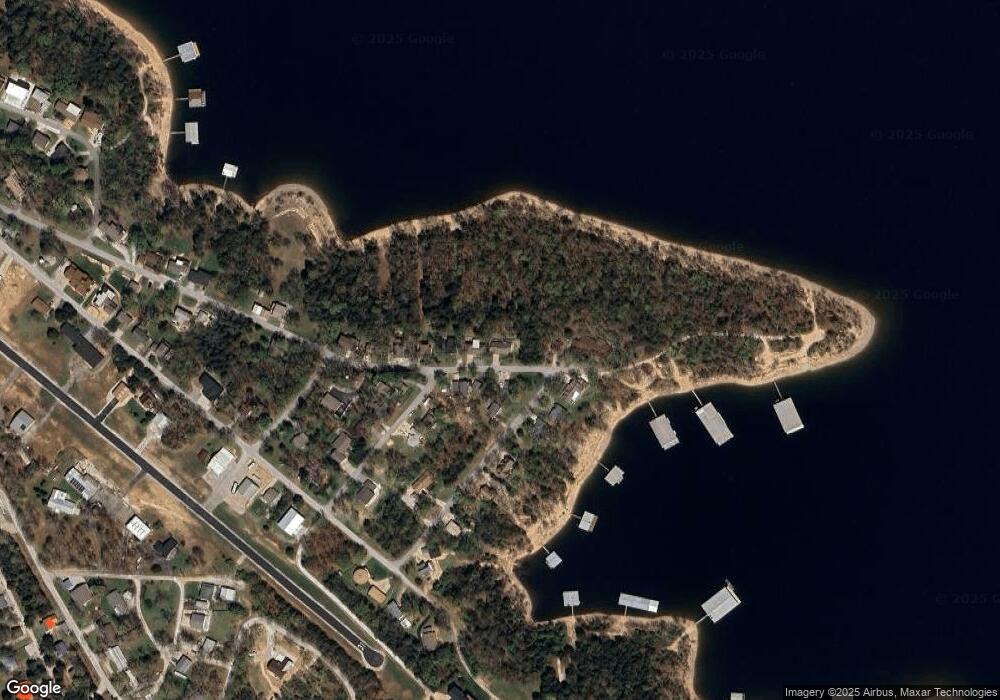
Map
Nearby Homes
- 789 Breezy Point Ln
- 92 Ashlee Marie Ln Unit 2
- 92 Ashlee Marie Ln Unit 4
- 92 Ashlee Marie Ln
- 92 Ashlee Marie Ln Unit 3
- 92 Ashlee Marie Ln Unit 1
- 139 Cherokee Dr
- 1754 Breezy Point Ln
- 287 Lakefront Cir
- 85 Capulet Ln
- 78 Elm Point Ln
- 154 Elm St
- 257 Elm Point Ln
- 90 Brandon Loop
- 134 Deer Park Cir
- 253 Whitefish Bay
- Lot 4 Whitefish Bay
- Lot 14&20a Whitefish Bay
- Lot 11 Whitefish Bay
- Lot 20b&20 Whitefish Bay
- 409 Skipper Dr
- 154 Commander Ln
- 136 Commander Ln
- 357 Skylane Dr
- 372 Skipper Dr
- 120 Commander Ln
- 351 Skipper Dr
- 121 Commander Ln
- 351 Skylane Dr
- 341 Skylane Dr
- 341 Skipper Dr
- 340 Skipper Dr
- Lot 5 Commander Ln
- Lot 11 Commander Ln
- 0 Commander Ln
- 92 Commander Ln
- 88 Apache Ln
- 325 Skipper Dr
- 88 Apache Ln-Lot 6 Block7 Ka
- 74 Commander Ln
Your Personal Tour Guide
Ask me questions while you tour the home.