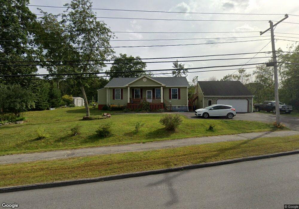
357 South St Biddeford, ME 04005
Estimated Value: $471,000 - $560,000
3
Beds
1
Bath
1,328
Sq Ft
$378/Sq Ft
Est. Value
About This Home
This home is located at 357 South St, Biddeford, ME 04005 and is currently estimated at $502,233, approximately $378 per square foot. 357 South St is a home located in York County with nearby schools including John F Kennedy Memorial School, Biddeford Primary School, and Biddeford Intermediate School.
Ownership History
Date
Name
Owned For
Owner Type
Purchase Details
Closed on
Jun 3, 2005
Sold by
Vacation Props Inc
Bought by
Littlefield Shelley
Current Estimated Value
Home Financials for this Owner
Home Financials are based on the most recent Mortgage that was taken out on this home.
Original Mortgage
$223,000
Interest Rate
5.83%
Mortgage Type
Purchase Money Mortgage
Create a Home Valuation Report for This Property
The Home Valuation Report is an in-depth analysis detailing your home's value as well as a comparison with similar homes in the area
Home Values in the Area
Average Home Value in this Area
Purchase History
| Date | Buyer | Sale Price | Title Company |
|---|---|---|---|
| Littlefield Shelley | -- | -- | |
| Littlefield Shelley | -- | -- | |
| Littlefield Shelley | -- | -- |
Source: Public Records
Mortgage History
| Date | Status | Borrower | Loan Amount |
|---|---|---|---|
| Closed | Littlefield Shelley | $223,000 |
Source: Public Records
Tax History Compared to Growth
Tax History
| Year | Tax Paid | Tax Assessment Tax Assessment Total Assessment is a certain percentage of the fair market value that is determined by local assessors to be the total taxable value of land and additions on the property. | Land | Improvement |
|---|---|---|---|---|
| 2024 | $5,692 | $400,300 | $167,200 | $233,100 |
| 2023 | $5,213 | $397,300 | $164,200 | $233,100 |
| 2022 | $4,757 | $289,900 | $92,400 | $197,500 |
| 2021 | $4,541 | $249,100 | $78,100 | $171,000 |
| 2020 | $4,603 | $229,600 | $71,000 | $158,600 |
| 2019 | $4,587 | $229,600 | $71,000 | $158,600 |
| 2018 | $4,523 | $229,600 | $71,000 | $158,600 |
| 2017 | $4,233 | $210,900 | $71,000 | $139,900 |
| 2016 | $4,188 | $210,900 | $71,000 | $139,900 |
| 2015 | $3,802 | $205,300 | $71,000 | $134,300 |
| 2014 | $3,709 | $205,300 | $71,000 | $134,300 |
| 2013 | -- | $226,000 | $63,200 | $162,800 |
Source: Public Records
Map
Nearby Homes
- 5 Apostolic Way
- 2 Berry Ln Unit 101
- 8 Indian Ridge Dr
- 2 Glaude Ave
- 19 Alexander Dr
- 15 Mckenney Dr
- 47 Westmore Ave
- 6 Victory Ln
- 4 Baxter Blvd
- 1 Baxter Blvd
- 2 Baxter Blvd
- 63 Western Ave
- TBD Cribble Cove Rd
- 22 Round Hill St
- 374-376 Alfred St
- 11 Chadwick Place
- 227 Elm St
- 28 Cutts St
- 21 Wentworth St
- 433 Elm St
- 0 South St
- 350 South St
- 353 South St
- 360 South St
- 363 South St
- 356 South St
- 358 South St
- 347 South St
- 2 Colton Ln Unit 2
- 4 Colton Ln Unit 4
- 364 South St
- 1 Colton Ln Unit 1
- 1 Colton Ln Unit 5thr8
- 1 Colton Ln Unit 3
- 1 Colton Ln Unit 4
- 1 Colton Ln Unit 2
- 1 Colton Ln Unit 107
- 1 Colton Ln Unit 106
- 1 Colton Ln Unit 101
- 1 Colton Ln Unit 103