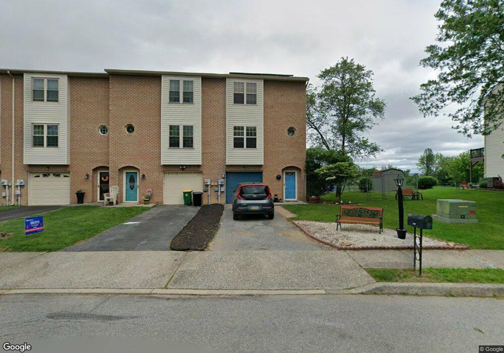
357 W 2nd St Alburtis, PA 18011
Lower Macungie Township West NeighborhoodEstimated Value: $322,000 - $328,000
3
Beds
2
Baths
1,956
Sq Ft
$166/Sq Ft
Est. Value
About This Home
This home is located at 357 W 2nd St, Alburtis, PA 18011 and is currently estimated at $324,413, approximately $165 per square foot. 357 W 2nd St is a home located in Lehigh County with nearby schools including Alburtis Elementary School, Lower Macungie Middle School, and Emmaus High School.
Ownership History
Date
Name
Owned For
Owner Type
Purchase Details
Closed on
May 27, 2004
Sold by
Cronrath J Timothy and Cronrath Jennifer L
Bought by
Smith James M and Smith Melissa S
Current Estimated Value
Home Financials for this Owner
Home Financials are based on the most recent Mortgage that was taken out on this home.
Original Mortgage
$137,700
Interest Rate
6.32%
Mortgage Type
VA
Purchase Details
Closed on
Nov 26, 2003
Sold by
Cronrath J Timothy and Cronrath Jennifer L
Bought by
Cronrath J Timothy and Cronrath Jennifer L
Home Financials for this Owner
Home Financials are based on the most recent Mortgage that was taken out on this home.
Original Mortgage
$104,400
Interest Rate
6.03%
Mortgage Type
Stand Alone Refi Refinance Of Original Loan
Purchase Details
Closed on
Aug 31, 1995
Sold by
Smith David M
Bought by
Dollemore Douglas M and Dollemore Evangeline B
Purchase Details
Closed on
May 6, 1991
Bought by
Smith David M
Create a Home Valuation Report for This Property
The Home Valuation Report is an in-depth analysis detailing your home's value as well as a comparison with similar homes in the area
Home Values in the Area
Average Home Value in this Area
Purchase History
| Date | Buyer | Sale Price | Title Company |
|---|---|---|---|
| Smith James M | $135,000 | -- | |
| Cronrath J Timothy | -- | -- | |
| Dollemore Douglas M | $101,000 | -- | |
| Smith David M | $85,000 | -- |
Source: Public Records
Mortgage History
| Date | Status | Borrower | Loan Amount |
|---|---|---|---|
| Previous Owner | Smith James M | $137,700 | |
| Previous Owner | Cronrath J Timothy | $104,400 |
Source: Public Records
Tax History Compared to Growth
Tax History
| Year | Tax Paid | Tax Assessment Tax Assessment Total Assessment is a certain percentage of the fair market value that is determined by local assessors to be the total taxable value of land and additions on the property. | Land | Improvement |
|---|---|---|---|---|
| 2025 | $4,342 | $147,900 | $23,300 | $124,600 |
| 2024 | $4,231 | $147,900 | $23,300 | $124,600 |
| 2023 | $4,036 | $147,900 | $23,300 | $124,600 |
| 2022 | $3,951 | $147,900 | $124,600 | $23,300 |
| 2021 | $3,877 | $147,900 | $23,300 | $124,600 |
| 2020 | $3,844 | $147,900 | $23,300 | $124,600 |
| 2019 | $3,823 | $147,900 | $23,300 | $124,600 |
| 2018 | $3,780 | $147,900 | $23,300 | $124,600 |
| 2017 | $3,722 | $147,900 | $23,300 | $124,600 |
| 2016 | -- | $147,900 | $23,300 | $124,600 |
| 2015 | -- | $147,900 | $23,300 | $124,600 |
| 2014 | -- | $147,900 | $23,300 | $124,600 |
Source: Public Records
Map
Nearby Homes
- 354 W 2nd St
- 241 Flint Hill Rd
- 3371 Mathews Ln
- 121 S Main St Unit 123
- 428 Thomas St
- 108 E 2nd St
- 317 Lockridge Ln
- 31 Barbara Dr
- 8975 Mertztown Rd
- 8312 Mertztown Rd
- 1108 S Barbara Dr
- 1716 Brookstone Dr
- 7318 Sauerkraut Ln Unit E
- 8051 Heritage Dr
- 1702 Windmill Ln
- 1649 Thorndale Rd
- 1649 Thorndale Rd Unit LOT 70
- 7528 Buttercup Rd
- 7699 Catalpa Dr
- 7687 Catalpa Dr