3570 Haynie Rd Blaine, WA 98230
Estimated Value: $723,361 - $905,000
2
Beds
2
Baths
1,906
Sq Ft
$415/Sq Ft
Est. Value
About This Home
This home is located at 3570 Haynie Rd, Blaine, WA 98230 and is currently estimated at $791,340, approximately $415 per square foot. 3570 Haynie Rd is a home located in Whatcom County with nearby schools including Blaine Primary School, Blaine Elementary School, and Blaine Middle School.
Ownership History
Date
Name
Owned For
Owner Type
Purchase Details
Closed on
Nov 23, 2010
Sold by
Parks Leonard and Ferrel Susan
Bought by
Walter Timothy D and Walter Cindy A
Current Estimated Value
Home Financials for this Owner
Home Financials are based on the most recent Mortgage that was taken out on this home.
Original Mortgage
$70,000
Interest Rate
4.16%
Mortgage Type
New Conventional
Purchase Details
Closed on
Aug 18, 2009
Sold by
Wegner Leo R
Bought by
Parks Leonard and Ferrell Susan
Create a Home Valuation Report for This Property
The Home Valuation Report is an in-depth analysis detailing your home's value as well as a comparison with similar homes in the area
Home Values in the Area
Average Home Value in this Area
Purchase History
| Date | Buyer | Sale Price | Title Company |
|---|---|---|---|
| Walter Timothy D | $100,280 | Whatcom Land Title | |
| Parks Leonard | $128,607 | Chicago Title Insurance |
Source: Public Records
Mortgage History
| Date | Status | Borrower | Loan Amount |
|---|---|---|---|
| Closed | Walter Timothy D | $70,000 |
Source: Public Records
Tax History Compared to Growth
Tax History
| Year | Tax Paid | Tax Assessment Tax Assessment Total Assessment is a certain percentage of the fair market value that is determined by local assessors to be the total taxable value of land and additions on the property. | Land | Improvement |
|---|---|---|---|---|
| 2024 | $4,344 | $638,558 | $200,854 | $437,704 |
| 2023 | $4,344 | $638,558 | $200,854 | $437,704 |
| 2022 | $3,914 | $583,158 | $183,428 | $399,730 |
| 2021 | $3,754 | $440,746 | $101,035 | $339,711 |
| 2020 | $3,589 | $390,035 | $89,410 | $300,625 |
| 2019 | $3,310 | $359,456 | $82,400 | $277,056 |
| 2018 | $3,499 | $323,898 | $74,249 | $249,649 |
| 2017 | $2,774 | $309,074 | $70,851 | $238,223 |
| 2016 | $2,822 | $273,517 | $62,700 | $210,817 |
| 2015 | $2,727 | $267,993 | $95,568 | $172,425 |
| 2014 | -- | $252,941 | $90,216 | $162,725 |
| 2013 | -- | $263,435 | $94,046 | $169,389 |
Source: Public Records
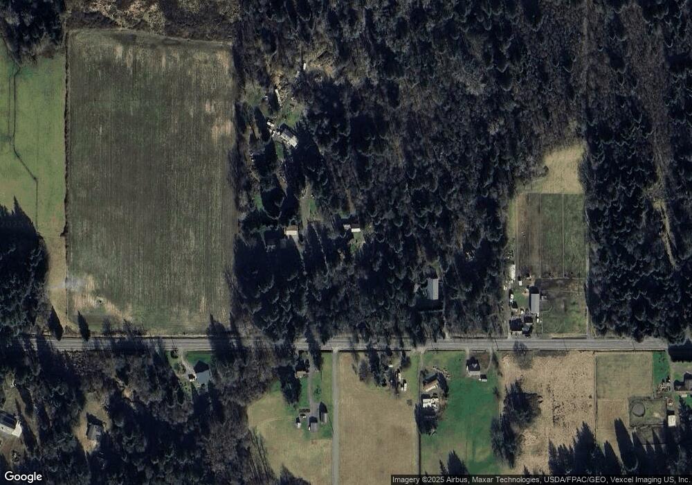
Map
Nearby Homes
- 8894 Giles Rd
- 3226 Velvet Ln
- 4492 Sweet Rd
- 9550 Sherwood Dr
- 3341 Nicole Ln
- 8731 Valley View Rd
- 3151 Velvet Ln
- 0 Harvey Rd Unit NWM2270186
- 8610 White Rd
- 9547 Harvey Rd
- 4255 West Rd
- 9524 Freedom Place
- 508 Paperbark Dr
- 4104 Loomis Trail Rd
- 8306 Portal Way
- 8484 Kickerville Rd
- 9652 Ronald Dr
- 3648 Birch Terrace Ct
- 10 Harvey Rd
- 525 Shore Pine (Lot 5) Ct