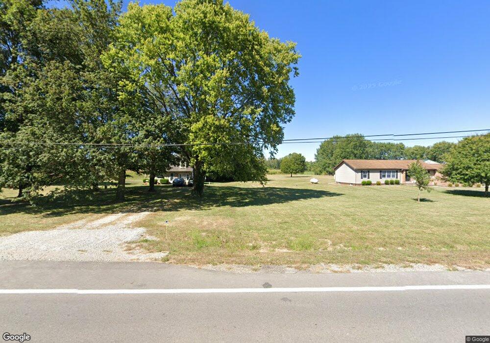
3570 National Rd SW Hebron, OH 43025
Union NeighborhoodEstimated Value: $1,007,003
--
Bed
--
Bath
3,600
Sq Ft
$280/Sq Ft
Est. Value
About This Home
This home is located at 3570 National Rd SW, Hebron, OH 43025 and is currently estimated at $1,007,003, approximately $279 per square foot. 3570 National Rd SW is a home located in Licking County with nearby schools including Jackson Intermediate School, Lakewood Middle School, and Lakewood High School.
Ownership History
Date
Name
Owned For
Owner Type
Purchase Details
Closed on
Jan 13, 2015
Sold by
Treyco Inc and Brenneman Michael T
Bought by
The Community Bank
Current Estimated Value
Purchase Details
Closed on
Dec 28, 2007
Sold by
Hayman Robert C and Bobst Chastity B
Bought by
Treyco Inc
Home Financials for this Owner
Home Financials are based on the most recent Mortgage that was taken out on this home.
Original Mortgage
$350,000
Interest Rate
6.27%
Mortgage Type
Commercial
Purchase Details
Closed on
Sep 25, 1998
Sold by
Leech Allen P
Bought by
Bohst Scott D and Bohst Chastity B
Create a Home Valuation Report for This Property
The Home Valuation Report is an in-depth analysis detailing your home's value as well as a comparison with similar homes in the area
Home Values in the Area
Average Home Value in this Area
Purchase History
| Date | Buyer | Sale Price | Title Company |
|---|---|---|---|
| The Community Bank | -- | Abc Title | |
| Treyco Inc | $400,000 | C B I Titl | |
| Bohst Scott D | $40,000 | -- |
Source: Public Records
Mortgage History
| Date | Status | Borrower | Loan Amount |
|---|---|---|---|
| Previous Owner | Treyco Inc | $350,000 |
Source: Public Records
Tax History Compared to Growth
Tax History
| Year | Tax Paid | Tax Assessment Tax Assessment Total Assessment is a certain percentage of the fair market value that is determined by local assessors to be the total taxable value of land and additions on the property. | Land | Improvement |
|---|---|---|---|---|
| 2024 | $13,937 | $316,830 | $148,090 | $168,740 |
| 2023 | $13,464 | $316,830 | $148,090 | $168,740 |
| 2022 | $11,569 | $169,440 | $89,010 | $80,430 |
| 2021 | $8,564 | $169,440 | $89,010 | $80,430 |
| 2020 | $8,910 | $169,750 | $89,320 | $80,430 |
| 2019 | $9,340 | $169,750 | $89,320 | $80,430 |
| 2018 | $6,908 | $0 | $0 | $0 |
| 2017 | $6,892 | $0 | $0 | $0 |
| 2016 | $6,951 | $0 | $0 | $0 |
| 2015 | $6,880 | $0 | $0 | $0 |
| 2014 | $4,526 | $0 | $0 | $0 |
| 2013 | $9,578 | $0 | $0 | $0 |
Source: Public Records
Map
Nearby Homes
- 219 Sycamore Rd
- 7740 Gale Rd SW
- 7667 Gale Rd SW
- 7877 Outville Rd SW
- 332 Waters Edge
- 10047 Loop Rd
- 0 Loop Rd
- 13673 Cherry Ln
- 10123 Loop Rd
- 1135 Blacklick Rd NE
- 59 Squire Ln
- 6753 Outville Rd SW
- 105 Zellers Ln
- 6651 Lancaster Rd
- 0 Refugee Rd SE Unit 225031623
- 9779 York Rd SW
- 9797 York Rd SW
- 104 Cumberland Meadows Cir
- 140 Hamilton Ave
- 814 W Main St
- 3580 National Rd SW
- 3542 National Rd SW
- 3618 National Rd SW
- 3529 National Rd SW
- 3522 National Rd SW
- 3601 National Rd SW
- 3627 National Rd SW
- 3698 National Rd SW
- 3426 National Rd SW
- 3689 National Rd SW
- 9341 Swamp Rd
- 3793 National Rd SW
- 9407 Swamp Rd
- 9383 Swamp Rd
- 9310 Swamp Rd
- 9342 Swamp Rd
- 4004 National Rd SW
- 9455 Swamp Rd
- 9364 Swamp Rd
- 9402 Swamp Rd