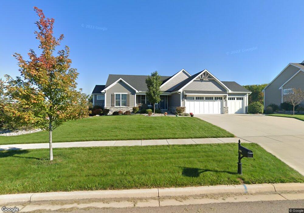
3570 Stanwood Dr Unit Lot 71 Dewitt, MI 48820
Estimated Value: $163,000 - $831,000
3
Beds
4
Baths
2,949
Sq Ft
$196/Sq Ft
Est. Value
About This Home
This home is located at 3570 Stanwood Dr Unit Lot 71, Dewitt, MI 48820 and is currently estimated at $576,759, approximately $195 per square foot. 3570 Stanwood Dr Unit Lot 71 is a home located in Clinton County with nearby schools including Schavey Road Elementary School, Scott Elementary School, and Herbison Woods Elementary School.
Ownership History
Date
Name
Owned For
Owner Type
Purchase Details
Closed on
Jun 14, 2019
Sold by
Motz Development Inc
Bought by
Powell Dirk Edward and Powell Teresa Anne Clark
Current Estimated Value
Home Financials for this Owner
Home Financials are based on the most recent Mortgage that was taken out on this home.
Original Mortgage
$437,600
Outstanding Balance
$384,757
Interest Rate
4.1%
Mortgage Type
New Conventional
Estimated Equity
$192,002
Create a Home Valuation Report for This Property
The Home Valuation Report is an in-depth analysis detailing your home's value as well as a comparison with similar homes in the area
Home Values in the Area
Average Home Value in this Area
Purchase History
We collect this data history from publicly available records. To have your information removed, we recommend requesting removal directly through your county’s website.
| Date | Buyer | Sale Price | Title Company |
|---|---|---|---|
| Powell Dirk Edward | $85,000 | Ata National Title Group Llc |
Source: Public Records
Mortgage History
We collect this data history from publicly available records. To have your information removed, we recommend requesting removal directly through your county’s website.
| Date | Status | Borrower | Loan Amount |
|---|---|---|---|
| Open | Powell Dirk Edward | $437,600 |
Source: Public Records
Tax History
| Year | Tax Paid | Tax Assessment Tax Assessment Total Assessment is a certain percentage of the fair market value that is determined by local assessors to be the total taxable value of land and additions on the property. | Land | Improvement |
|---|---|---|---|---|
| 2025 | $6,524 | $295,000 | $66,700 | $228,300 |
| 2024 | $54 | $272,700 | $61,900 | $210,800 |
| 2023 | $6,012 | $255,300 | $0 | $0 |
| 2022 | $9,072 | $243,800 | $56,100 | $187,700 |
| 2021 | $8,814 | $227,500 | $52,000 | $175,500 |
| 2020 | $8,594 | $223,300 | $52,000 | $171,300 |
| 2019 | $7,759 | $211,900 | $50,600 | $161,300 |
| 2018 | $510 | $48,900 | $41,400 | $7,500 |
| 2017 | $254 | $40,400 | $40,400 | $0 |
| 2016 | $248 | $37,400 | $37,400 | $0 |
| 2015 | $253 | $37,500 | $0 | $0 |
Source: Public Records
Map
Nearby Homes
- 3535 Stanwood Dr
- 14013 Ambrosia Ave
- 3342 Canopy Dr
- 11755 Schavey Rd
- 3950 W Howe Rd
- 10970 S Airport Rd
- 410 W Spring Meadows Ln
- 611 Dartmouth Dr
- 301 Windy Rush Ln
- 911 Elmwood St
- 306 W Madison St
- 1316 W Geneva Dr
- 1628 W Herbison Dr
- 4995 W Cutler Rd
- 4987 W Cutler Rd
- 1222 W Herbison Rd
- 1210 W Herbison Rd
- 4220 Presidents Way
- 606 Locust St
- 4083 W Herbison Rd
- 3570 Stanwood Dr
- 3630 Stanwood Dr
- 11664 Hidden Ridge Dr
- 11676 Hidden Ridge Dr
- 11644 Hardwood Dr
- 14283 Ambrosia Ave
- 14106 Ambrosia Ave
- 14010 Pristine Ct
- 14035 Pristine Ct
- 14045 Pristine Ct
- 14035 Pristine Ct Unit 2409302-51163
- 14045 Pristine Ct Unit 19
- 14035 Pristine Ct Unit 20
- 14301 Ambrosia Ave
- 11634 Hardwood Dr
- 3650 Stanwood Dr
- 3530 Venice Dr
- 11696 Hidden Ridge Dr
- 11624 Hardwood Dr
- 3550 Venice Dr
Your Personal Tour Guide
Ask me questions while you tour the home.