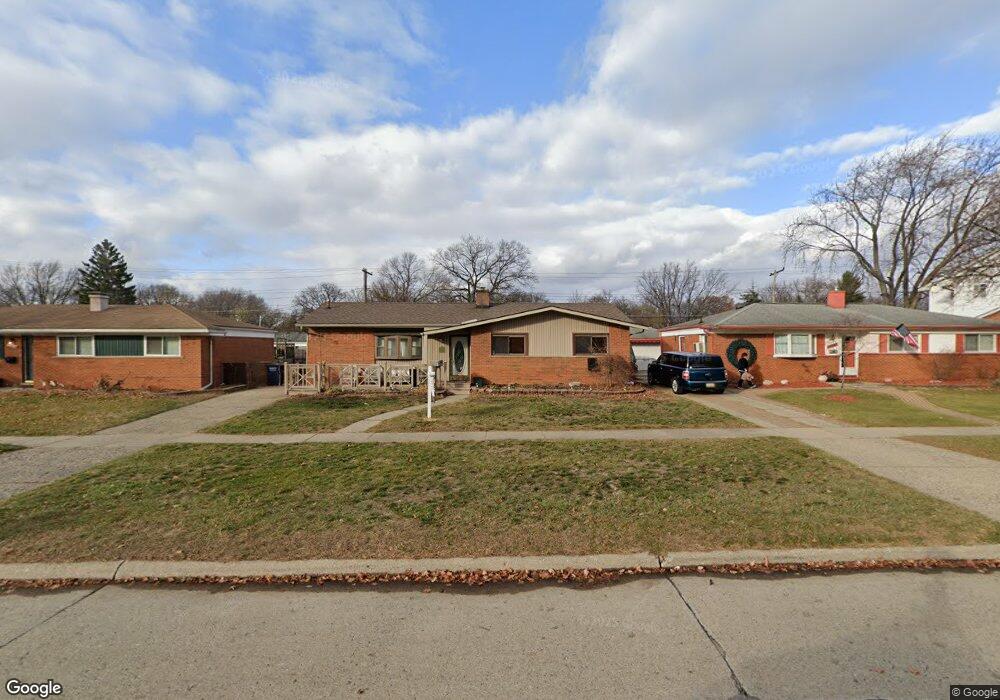
35744 Avondale St Unit Bldg-Unit Westland, MI 48186
Estimated Value: $187,715 - $206,000
--
Bed
1
Bath
1,103
Sq Ft
$177/Sq Ft
Est. Value
About This Home
This home is located at 35744 Avondale St Unit Bldg-Unit, Westland, MI 48186 and is currently estimated at $195,429, approximately $177 per square foot. 35744 Avondale St Unit Bldg-Unit is a home located in Wayne County with nearby schools including Wildwood Elementary School, Marshall Upper Elementary School, and Adlai Stevenson Middle School.
Ownership History
Date
Name
Owned For
Owner Type
Purchase Details
Closed on
Dec 18, 2020
Sold by
Edison Properties I Llc
Bought by
Baggett Autumn
Current Estimated Value
Purchase Details
Closed on
May 10, 2018
Sold by
Heri Edison
Bought by
Edison Properties 1 Llc
Purchase Details
Closed on
Apr 26, 2018
Sold by
Jones Michael P and The Estate Of Sharon L Jones
Bought by
Heri Edison
Purchase Details
Closed on
Nov 2, 2017
Sold by
Jones Sharon L
Bought by
Quicken Loans Inc
Create a Home Valuation Report for This Property
The Home Valuation Report is an in-depth analysis detailing your home's value as well as a comparison with similar homes in the area
Home Values in the Area
Average Home Value in this Area
Purchase History
| Date | Buyer | Sale Price | Title Company |
|---|---|---|---|
| Baggett Autumn | $130,000 | Stg | |
| Edison Properties 1 Llc | -- | Stewart Title Guaranty | |
| Heri Edison | $88,000 | None Available | |
| Quicken Loans Inc | -- | None Available |
Source: Public Records
Tax History Compared to Growth
Tax History
| Year | Tax Paid | Tax Assessment Tax Assessment Total Assessment is a certain percentage of the fair market value that is determined by local assessors to be the total taxable value of land and additions on the property. | Land | Improvement |
|---|---|---|---|---|
| 2025 | $2,738 | $81,500 | $0 | $0 |
| 2024 | $2,738 | $76,100 | $0 | $0 |
| 2023 | $2,614 | $67,900 | $0 | $0 |
| 2022 | $3,022 | $60,500 | $0 | $0 |
| 2021 | $2,946 | $58,200 | $0 | $0 |
| 2020 | $3,605 | $53,100 | $0 | $0 |
| 2019 | $3,752 | $51,300 | $0 | $0 |
| 2018 | $1,846 | $43,500 | $0 | $0 |
| 2017 | $1,255 | $40,200 | $0 | $0 |
| 2016 | $1,472 | $40,100 | $0 | $0 |
| 2015 | $2,822 | $35,640 | $0 | $0 |
| 2013 | $2,734 | $27,890 | $0 | $0 |
| 2012 | $1,402 | $29,460 | $0 | $0 |
Source: Public Records
Map
Nearby Homes
- 36034 Rolf St
- 36293 Monroe Ave
- 35608 Somerset St
- 36323 Monroe Ave
- 35193 Sansburn St
- 35236 Glen St
- 1510 S Crown St
- 344 S Christine
- 1811 S Harvey Ave
- 1519 S Dowling St
- 32730 Palmer Rd
- 1853 S Linville Ave
- 357 S Dobson St
- 34728 Somerset St
- 1825 Liddicot Ave
- 34465 Fairchild St
- 1645 Regene St
- 34553 Hazelwood St
- 284 S Byfield St
- 366 S Wildwood St
- 35744 Avondale St
- 35732 Avondale St
- 35810 Avondale St
- 35699 Rolf St
- 35687 Rolf St
- 35711 Rolf St Unit Bldg-Unit
- 35711 Rolf St
- 35720 Avondale St
- 35822 Avondale St
- 35723 Rolf St
- 35708 Avondale St
- 35743 Avondale St
- 35834 Avondale St
- 35731 Avondale St
- 35809 Avondale St
- 35655 Rolf St
- 35719 Avondale St
- 35735 Rolf St
- 35821 Avondale St
- 35846 Avondale St