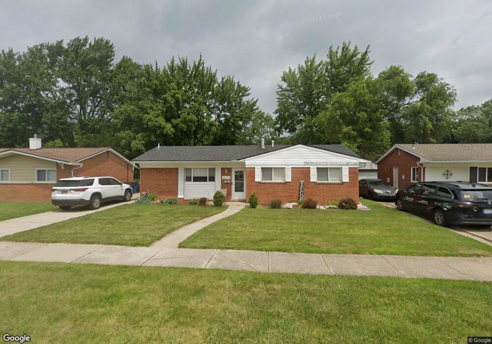
35748 Rolf St Unit Bldg-Unit Westland, MI 48186
Estimated Value: $194,625 - $216,000
Studio
1
Bath
1,103
Sq Ft
$186/Sq Ft
Est. Value
About This Home
This home is located at 35748 Rolf St Unit Bldg-Unit, Westland, MI 48186 and is currently estimated at $205,406, approximately $186 per square foot. 35748 Rolf St Unit Bldg-Unit is a home located in Wayne County with nearby schools including Wildwood Elementary School, Adlai Stevenson Middle School, and John Glenn High School.
Ownership History
Date
Name
Owned For
Owner Type
Purchase Details
Closed on
Nov 10, 2017
Sold by
Rakozy Catherine A
Bought by
Blankenship Tyler J
Current Estimated Value
Purchase Details
Closed on
Jun 30, 2009
Sold by
Trombley Gregory and Trombley Julie A
Bought by
Rakozy Catherine A
Purchase Details
Closed on
Jul 5, 2007
Sold by
Mckinney Judy A and Cullins Judy A
Bought by
Wm Specialty Mortgage Llc
Create a Home Valuation Report for This Property
The Home Valuation Report is an in-depth analysis detailing your home's value as well as a comparison with similar homes in the area
Home Values in the Area
Average Home Value in this Area
Purchase History
| Date | Buyer | Sale Price | Title Company |
|---|---|---|---|
| Blankenship Tyler J | $114,000 | None Available | |
| Rakozy Catherine A | $82,000 | Capital Title Ins Agency | |
| Wm Specialty Mortgage Llc | $130,603 | None Available |
Source: Public Records
Tax History
| Year | Tax Paid | Tax Assessment Tax Assessment Total Assessment is a certain percentage of the fair market value that is determined by local assessors to be the total taxable value of land and additions on the property. | Land | Improvement |
|---|---|---|---|---|
| 2025 | $3,095 | $86,100 | $0 | $0 |
| 2024 | $2,823 | $80,300 | $0 | $0 |
| 2023 | $2,667 | $71,900 | $0 | $0 |
| 2022 | $3,905 | $64,000 | $0 | $0 |
| 2021 | $3,940 | $61,600 | $0 | $0 |
| 2020 | $3,154 | $56,200 | $0 | $0 |
| 2019 | $2,700 | $54,300 | $0 | $0 |
| 2018 | $2,681 | $46,800 | $0 | $0 |
| 2017 | $625 | $43,100 | $0 | $0 |
| 2016 | $2,206 | $43,000 | $0 | $0 |
| 2015 | $3,142 | $38,380 | $0 | $0 |
| 2013 | $3,044 | $31,070 | $0 | $0 |
| 2012 | $2,203 | $32,860 | $0 | $0 |
Source: Public Records
Map
Nearby Homes
- 36034 Rolf St
- 35840 Oakwood Ln
- 35691 Fairchild St
- 35564 Florane St
- 35831 Somerset St
- 35820 Hazelwood St
- 36051 Glen St
- 36419 Avondale St
- 1347 S Carlson St
- 344 S Christine
- 34551 Hiveley St
- 32730 Palmer Rd
- 35239 Palmer Rd
- 1620 Regene St
- 1645 Regene St
- 357 S Byfield St
- 795 N Parent St
- 318 S Wildwood St
- 00 S Newburgh Rd
- 0 S Newburgh Rd
Your Personal Tour Guide
Ask me questions while you tour the home.