3575 Anthony Ln Twinsburg, OH 44087
Estimated Value: $475,000 - $553,488
4
Beds
3
Baths
2,238
Sq Ft
$225/Sq Ft
Est. Value
About This Home
This home is located at 3575 Anthony Ln, Twinsburg, OH 44087 and is currently estimated at $503,163, approximately $224 per square foot. 3575 Anthony Ln is a home located in Summit County with nearby schools including Wilcox Primary School, Dodge Intermediate School, and Samuel Bissell Elementary School.
Ownership History
Date
Name
Owned For
Owner Type
Purchase Details
Closed on
Jun 8, 2017
Sold by
Great Lakes Developers Llc
Bought by
Crawford Michael
Current Estimated Value
Home Financials for this Owner
Home Financials are based on the most recent Mortgage that was taken out on this home.
Original Mortgage
$114,000
Outstanding Balance
$94,850
Interest Rate
4.03%
Mortgage Type
New Conventional
Estimated Equity
$408,313
Purchase Details
Closed on
Aug 14, 2001
Sold by
Dale Freeland and Dale E
Bought by
Freeland Dale E and Taylor Jametta
Home Financials for this Owner
Home Financials are based on the most recent Mortgage that was taken out on this home.
Original Mortgage
$166,900
Interest Rate
7.23%
Mortgage Type
Purchase Money Mortgage
Create a Home Valuation Report for This Property
The Home Valuation Report is an in-depth analysis detailing your home's value as well as a comparison with similar homes in the area
Home Values in the Area
Average Home Value in this Area
Purchase History
| Date | Buyer | Sale Price | Title Company |
|---|---|---|---|
| Crawford Michael | $120,000 | None Available | |
| Freeland Dale E | -- | Guardian Title |
Source: Public Records
Mortgage History
| Date | Status | Borrower | Loan Amount |
|---|---|---|---|
| Open | Crawford Michael | $114,000 | |
| Previous Owner | Freeland Dale E | $166,900 |
Source: Public Records
Tax History Compared to Growth
Tax History
| Year | Tax Paid | Tax Assessment Tax Assessment Total Assessment is a certain percentage of the fair market value that is determined by local assessors to be the total taxable value of land and additions on the property. | Land | Improvement |
|---|---|---|---|---|
| 2025 | $10,210 | $122,501 | $35,767 | $86,734 |
| 2024 | $10,210 | $181,472 | $61,443 | $120,029 |
| 2023 | $10,210 | $181,472 | $61,443 | $120,029 |
| 2022 | $7,846 | $122,501 | $35,767 | $86,734 |
| 2021 | $9,686 | $147,833 | $41,391 | $106,442 |
| 2020 | $3,112 | $46,990 | $43,310 | $3,680 |
| 2019 | $6,752 | $96,680 | $35,770 | $60,910 |
| 2018 | $6,643 | $96,680 | $35,770 | $60,910 |
| 2017 | $5,076 | $96,680 | $35,770 | $60,910 |
| 2016 | $5,275 | $83,740 | $35,770 | $47,970 |
| 2015 | $5,076 | $83,740 | $35,770 | $47,970 |
| 2014 | $5,066 | $83,740 | $35,770 | $47,970 |
| 2013 | $5,142 | $84,880 | $35,770 | $49,110 |
Source: Public Records
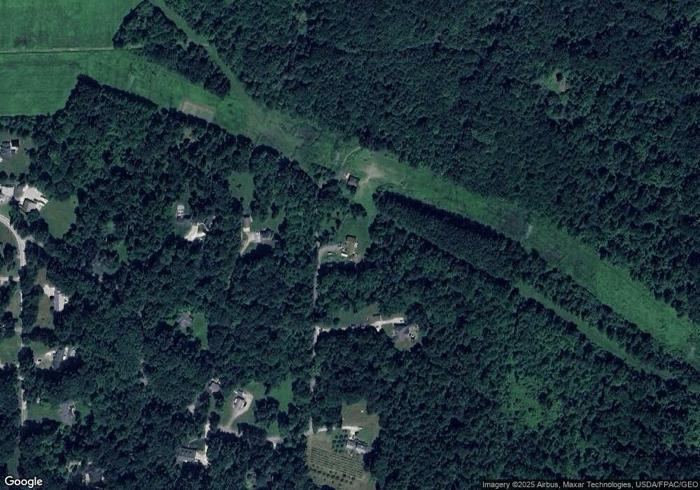
Map
Nearby Homes
- 3590 E Aurora Rd
- 3284 Cannon Rd
- 3281 Evans Way
- 3110 Blue Jaye Ln
- 2869 Tinkers Ln
- 982 W Garfield Rd
- 2825 Veron Ln
- 2708 Edgebrook Crossing Unit 19
- 80 Lakeland Way
- 2619 E Aurora Rd
- 2607 Burridge Cir Unit M29
- 870 W Parkway Blvd
- 10000 Ravenna Rd
- 3624 Nautilus Trail
- 180 Beaumont Trail
- 3331 Shale Dr
- 10120 N Surfside Cir
- 3320 Blossom Trail
- 3336 Blossom Trail
- 471-10 Antler Point
- 3453 Anthony Ln
- 3581 Anthony Ln
- 3449 Anthony Ln
- 3475 Anthony Ln
- 3465 Anthony Ln
- 3584 Anthony Ln
- 3433 Cannon Rd
- 3540 Anthony Ln
- 3520 Anthony Ln
- 3431 Cannon Rd
- 3451 Cannon Rd
- 3383 Cannon Rd
- 3467 Cannon Rd
- 3503 Cannon Rd
- 3373 Cannon Rd
- 3376 Cannon Rd
- 3599 E Aurora Rd
- 3416 Cannon Rd
- 3430 Cannon Rd
- 3454 Cannon Rd