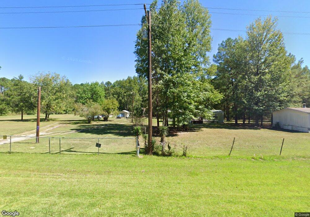
3575 State Line Rd Mooringsport, LA 71060
Longwood NeighborhoodEstimated Value: $142,690 - $197,000
3
Beds
2
Baths
1,670
Sq Ft
$103/Sq Ft
Est. Value
About This Home
This home is located at 3575 State Line Rd, Mooringsport, LA 71060 and is currently estimated at $172,563, approximately $103 per square foot. 3575 State Line Rd is a home located in Caddo Parish with nearby schools including Blanchard Elementary School, Judson Fundamental Elementary School, and Fairfield Magnet School.
Ownership History
Date
Name
Owned For
Owner Type
Purchase Details
Closed on
Jan 27, 2011
Sold by
Lawson Marie Head
Bought by
Hamilton Marie and Hamilton Maie Head
Current Estimated Value
Home Financials for this Owner
Home Financials are based on the most recent Mortgage that was taken out on this home.
Original Mortgage
$157,500
Outstanding Balance
$106,018
Interest Rate
4.44%
Mortgage Type
Reverse Mortgage Home Equity Conversion Mortgage
Estimated Equity
$66,545
Purchase Details
Closed on
Dec 31, 2010
Sold by
Lawson Marie Head
Bought by
Hamilton Marie and Hamilton Maie Head
Home Financials for this Owner
Home Financials are based on the most recent Mortgage that was taken out on this home.
Original Mortgage
$157,500
Outstanding Balance
$106,018
Interest Rate
4.44%
Mortgage Type
Reverse Mortgage Home Equity Conversion Mortgage
Estimated Equity
$66,545
Create a Home Valuation Report for This Property
The Home Valuation Report is an in-depth analysis detailing your home's value as well as a comparison with similar homes in the area
Home Values in the Area
Average Home Value in this Area
Purchase History
| Date | Buyer | Sale Price | Title Company |
|---|---|---|---|
| Hamilton Marie | -- | None Available | |
| Hamilton Marie | -- | None Available |
Source: Public Records
Mortgage History
| Date | Status | Borrower | Loan Amount |
|---|---|---|---|
| Open | Hamilton Marie | $157,500 | |
| Closed | Hamilton Marie | $157,500 |
Source: Public Records
Tax History Compared to Growth
Tax History
| Year | Tax Paid | Tax Assessment Tax Assessment Total Assessment is a certain percentage of the fair market value that is determined by local assessors to be the total taxable value of land and additions on the property. | Land | Improvement |
|---|---|---|---|---|
| 2024 | $969 | $6,239 | $552 | $5,687 |
| 2023 | $994 | $6,239 | $552 | $5,687 |
| 2022 | $994 | $6,239 | $552 | $5,687 |
| 2021 | $994 | $6,239 | $552 | $5,687 |
| 2020 | $994 | $6,239 | $552 | $5,687 |
| 2019 | $985 | $6,239 | $569 | $5,670 |
| 2018 | $75 | $6,239 | $569 | $5,670 |
| 2017 | $983 | $6,239 | $569 | $5,670 |
| 2015 | $149 | $8,000 | $560 | $7,440 |
| 2014 | $150 | $8,000 | $560 | $7,440 |
| 2013 | -- | $8,000 | $560 | $7,440 |
Source: Public Records
Map
Nearby Homes
- 10855 Winrock Rd
- 2268 Masters Rd
- 0 Rich Akes Rd
- 4436 Highway 169
- 720 Haggerty Rd
- 3489 Lotta Rd
- 8640 Blanchard Furrh Rd
- 950 N Lake St
- 480 Ellis Dr
- 460 Ellis Dr
- 170 Ellis Dr
- 440 Ellis Dr
- Lot 50 - 53 Ellis Dr
- Lot 6 Ellis Dr
- Lots 43 & 44 Ellis Dr
- 115 Ellis Dr
- 195 Ellis Dr
- 235 Ellis Dr
- 775 N Lake St
- TBD Furrh Rd