Estimated Value: $519,000 - $540,000
--
Bed
--
Bath
1,560
Sq Ft
$341/Sq Ft
Est. Value
About This Home
This home is located at 3576 Pheasant Ridge, Marne, MI 49435 and is currently estimated at $531,955, approximately $340 per square foot. 3576 Pheasant Ridge is a home located in Ottawa County with nearby schools including Kenowa Hills Central Elementary School, Kenowa Hills Middle School, and Kenowa Hills High School.
Ownership History
Date
Name
Owned For
Owner Type
Purchase Details
Closed on
Oct 28, 2024
Sold by
Rozengnal Paul D and Rozengnal Jodi Lynn
Bought by
Sturrus Bradley J and Sturrus Lauren E
Current Estimated Value
Create a Home Valuation Report for This Property
The Home Valuation Report is an in-depth analysis detailing your home's value as well as a comparison with similar homes in the area
Home Values in the Area
Average Home Value in this Area
Purchase History
| Date | Buyer | Sale Price | Title Company |
|---|---|---|---|
| Sturrus Bradley J | $502,200 | Star Title |
Source: Public Records
Tax History Compared to Growth
Tax History
| Year | Tax Paid | Tax Assessment Tax Assessment Total Assessment is a certain percentage of the fair market value that is determined by local assessors to be the total taxable value of land and additions on the property. | Land | Improvement |
|---|---|---|---|---|
| 2025 | $3,497 | $250,600 | $0 | $0 |
| 2024 | $1,183 | $241,900 | $0 | $0 |
| 2023 | $1,127 | $205,200 | $0 | $0 |
| 2022 | $3,181 | $181,500 | $0 | $0 |
| 2021 | $3,085 | $175,300 | $0 | $0 |
| 2020 | $3,054 | $158,600 | $0 | $0 |
| 2019 | $2,996 | $148,500 | $0 | $0 |
| 2018 | $2,812 | $141,400 | $60,000 | $81,400 |
| 2017 | $2,689 | $135,600 | $0 | $0 |
| 2016 | $2,681 | $127,200 | $0 | $0 |
| 2015 | -- | $118,800 | $0 | $0 |
| 2014 | -- | $108,600 | $0 | $0 |
Source: Public Records
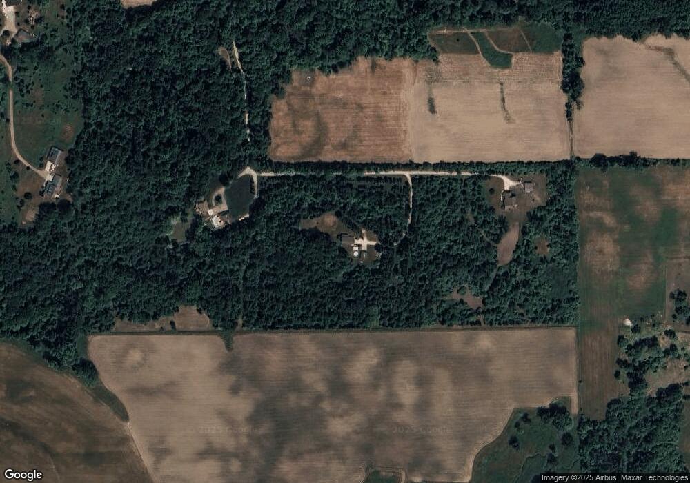
Map
Nearby Homes
- 4671 Leverette St
- 14461 16th Ave
- 14336 16th Ave
- 14336 16th - Parcel B Ave
- 12652 Ridgedale Dr
- 11504 Sunset Glen
- 4396 Twilight Way
- 1788 Arthur St
- The Muirfield Plan at The Reserve of Coopersville - The Reserve at Coopersville
- The Birkdale Plan at The Reserve of Coopersville - The Reserve at Coopersville
- The Wellington Plan at The Reserve of Coopersville - Condo
- Southland Hills Plan at The Reserve of Coopersville - The Reserve at Coopersville
- Bentridge Plan at The Reserve of Coopersville - The Reserve at Coopersville
- 12758 Lockwood Dr
- 5925 Grand Vista Dr
- 11610 Sunset Glen
- 11457 Linden Dr NW
- 11450 Cadence Ct Unit 4
- 3933 Ravines Dr Unit 45
- 4418 Oakland Dr
- 3698 Pheasant Ridge
- 3698 Hayes St
- 3474 Pheasant Ridge
- 3560 Hayes St
- 3716 Hayes St
- 3530 Hayes St
- 3498 Hayes St
- 3422 Hayes St
- 3834 Hayes St
- 3758 Hayes St
- 3398 Hayes St
- 3900 Hayes St
- 3521 Hayes St
- 3766 Hayes St
- 14152 40th Ave
- 3300 Hayes St Unit 3600
- 14002 40th Ave
- 13937 32nd Ave
- 13983 32nd Ave
- 3916 Hayes St