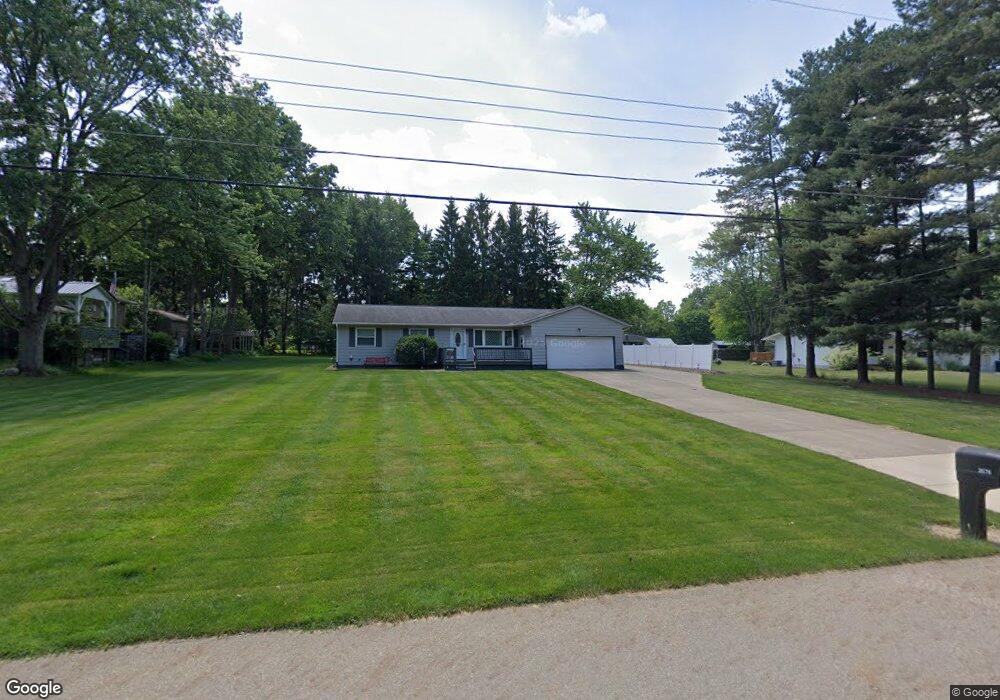
3576 Shellhart Rd Norton, OH 44203
Estimated Value: $207,000 - $280,000
3
Beds
2
Baths
1,320
Sq Ft
$184/Sq Ft
Est. Value
About This Home
This home is located at 3576 Shellhart Rd, Norton, OH 44203 and is currently estimated at $243,083, approximately $184 per square foot. 3576 Shellhart Rd is a home located in Summit County with nearby schools including Norton Primary Elementary School, Norton Middle School, and Norton High School.
Ownership History
Date
Name
Owned For
Owner Type
Purchase Details
Closed on
May 28, 1999
Sold by
Iler Gary Lee and Iler Maureen A
Bought by
Hawkins Melvin R and Hawkins Pamela J
Current Estimated Value
Home Financials for this Owner
Home Financials are based on the most recent Mortgage that was taken out on this home.
Original Mortgage
$100,000
Interest Rate
6.92%
Mortgage Type
Seller Take Back
Create a Home Valuation Report for This Property
The Home Valuation Report is an in-depth analysis detailing your home's value as well as a comparison with similar homes in the area
Home Values in the Area
Average Home Value in this Area
Purchase History
| Date | Buyer | Sale Price | Title Company |
|---|---|---|---|
| Hawkins Melvin R | $112,000 | Midland Commerce Group |
Source: Public Records
Mortgage History
| Date | Status | Borrower | Loan Amount |
|---|---|---|---|
| Closed | Hawkins Melvin R | $100,000 |
Source: Public Records
Tax History
| Year | Tax Paid | Tax Assessment Tax Assessment Total Assessment is a certain percentage of the fair market value that is determined by local assessors to be the total taxable value of land and additions on the property. | Land | Improvement |
|---|---|---|---|---|
| 2024 | $3,240 | $66,035 | $12,527 | $53,508 |
| 2023 | $3,240 | $66,035 | $12,527 | $53,508 |
| 2022 | $3,190 | $53,249 | $9,940 | $43,309 |
| 2021 | $3,203 | $53,249 | $9,940 | $43,309 |
| 2020 | $3,068 | $54,010 | $9,940 | $44,070 |
| 2019 | $2,596 | $38,810 | $9,050 | $29,760 |
| 2018 | $2,085 | $38,810 | $9,050 | $29,760 |
| 2017 | $2,158 | $38,810 | $9,050 | $29,760 |
| 2016 | $2,158 | $36,790 | $9,050 | $27,740 |
| 2015 | $2,158 | $36,790 | $9,050 | $27,740 |
| 2014 | $2,138 | $36,790 | $9,050 | $27,740 |
| 2013 | $2,292 | $39,860 | $9,050 | $30,810 |
Source: Public Records
Map
Nearby Homes
- 3520 Shellhart Rd
- 3705 Creedmor Rd
- 3616 Everett Dr
- 3713 Easton Rd
- 3713 Alumina Dr
- 3715 Alumina Dr
- 3717 Alumina Dr
- 3687 Kirkham Dr
- 3857 Rangely Rd
- 3187 Grenfall Rd
- 3217 Creekside Dr
- 3212 Longwood Dr
- 4001 S Cleveland Massillon Rd
- 2992 Greenridge Rd
- 1275 Norton Ave Unit H4
- 4059 Knollbrook Dr
- 2989 Fair Oaks Dr
- 652 Parkway Blvd
- 2857 Maco Dr
- 2938 S Hametown Rd
- 3566 Shellhart Rd
- 3588 Shellhart Rd
- 3577 Weyrick Dr
- 3572 Pillar Cir
- 3589 Weyrick Dr
- 3565 Weyrick Dr
- 3602 Shellhart Rd
- 3601 Little Blvd
- 3549 Weyrick Dr
- 3564 Little Blvd
- 3539 Weyrick Dr
- 3640 Shellhart Rd
- 3596 Weyrick Dr
- 3650 Shellhart Rd
- 3565 Little Blvd
- 3530 Shellhart Rd
- 3603 Shellhart Rd
- 3529 Weyrick Dr
- 3678 Shellhart Rd
- 3540 Weyrick Dr
Your Personal Tour Guide
Ask me questions while you tour the home.