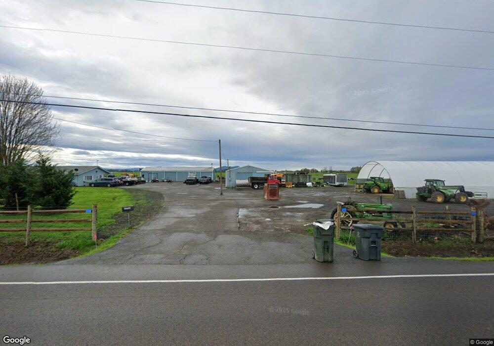
35764 Highway 20 SE Albany, OR 97322
Estimated Value: $570,878 - $642,000
4
Beds
2
Baths
2,351
Sq Ft
$258/Sq Ft
Est. Value
About This Home
This home is located at 35764 Highway 20 SE, Albany, OR 97322 and is currently estimated at $606,439, approximately $257 per square foot. 35764 Highway 20 SE is a home located in Linn County with nearby schools including Timber Ridge School, Clover Ridge Elementary School, and South Albany High School.
Ownership History
Date
Name
Owned For
Owner Type
Purchase Details
Closed on
Jan 18, 2020
Sold by
Renly Dale E and Renly Judy M
Bought by
Renly Dale E and Renly Judy M
Current Estimated Value
Home Financials for this Owner
Home Financials are based on the most recent Mortgage that was taken out on this home.
Original Mortgage
$305,000
Interest Rate
3.73%
Mortgage Type
New Conventional
Create a Home Valuation Report for This Property
The Home Valuation Report is an in-depth analysis detailing your home's value as well as a comparison with similar homes in the area
Home Values in the Area
Average Home Value in this Area
Purchase History
| Date | Buyer | Sale Price | Title Company |
|---|---|---|---|
| Renly Dale E | -- | First American |
Source: Public Records
Mortgage History
| Date | Status | Borrower | Loan Amount |
|---|---|---|---|
| Closed | Renly Dale E | $305,000 |
Source: Public Records
Tax History Compared to Growth
Tax History
| Year | Tax Paid | Tax Assessment Tax Assessment Total Assessment is a certain percentage of the fair market value that is determined by local assessors to be the total taxable value of land and additions on the property. | Land | Improvement |
|---|---|---|---|---|
| 2025 | $3,110 | $214,372 | -- | -- |
| 2024 | $3,023 | $208,696 | -- | -- |
| 2023 | $2,946 | $203,191 | $0 | $0 |
| 2022 | $2,929 | $197,849 | $0 | $0 |
| 2021 | $2,738 | $192,657 | $0 | $0 |
| 2020 | $2,729 | $187,618 | $0 | $0 |
| 2019 | $2,680 | $182,729 | $0 | $0 |
| 2018 | $2,620 | $177,982 | $0 | $0 |
| 2017 | $2,559 | $173,367 | $0 | $0 |
| 2016 | $2,360 | $168,893 | $0 | $0 |
| 2015 | $2,278 | $164,550 | $0 | $0 |
| 2014 | $2,284 | $160,698 | $0 | $0 |
Source: Public Records
Map
Nearby Homes
- 35628 Knox Butte Rd E
- 35309 Highway 20 SE
- 35853 Tennessee Rd SE
- 0 Scravel Hill Rd Unit 281890226
- 34637 Knox Butte Rd E
- 1150 Linnwood Dr NE
- 34501 Knox Butte Rd E
- 1290 Linnwood Dr NE
- 253 Scravel Hill (-375) Rd NE
- 36765 Glaser Dr
- 37425 Hungry Hill Rd
- 36162 Railroad St
- 36162 S Railroad St
- 585 Withers Ct SE
- 565 Withers Ct SE
- 535 Withers Ct SE
- Ashland Plan at Brandis Estates
- Arlington Plan at Brandis Estates
- Jade Plan at Brandis Estates
- Endicott Plan at Brandis Estates
- 35730 Highway 20 SE
- 35835 Highway 20 SE
- 35925 Highway 20 SE
- 36154 Paradise Ln SE
- 36148 Paradise Ln SE
- 36155 Paradise Ln SE
- 35953 Highway 20 SE
- 36130 Paradise Ln SE
- 36121 Paradise Ln SE
- 35489 Santiam Hwy SE
- 36127 Paradise Ln SE
- 36135 Paradise Ln SE
- 35989 Highway 20 SE
- 36004 Santiam Hwy SE
- 36005 Highway 20 SE
- 36039 Highway 20 SE
- 36073 Highway 20 SE
- 36073 Highway 20 SE
- 36073 Highway 20 SE
- 36093 Highway 20 SE