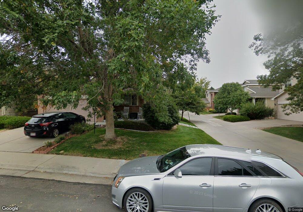
3577 E 106th Ave Thornton, CO 80233
Estimated Value: $496,184 - $563,000
3
Beds
3
Baths
2,752
Sq Ft
$193/Sq Ft
Est. Value
About This Home
This home is located at 3577 E 106th Ave, Thornton, CO 80233 and is currently estimated at $531,796, approximately $193 per square foot. 3577 E 106th Ave is a home located in Adams County with nearby schools including Trailside Academy and Lord of Life Lutheran School.
Ownership History
Date
Name
Owned For
Owner Type
Purchase Details
Closed on
Jan 15, 2010
Sold by
Fannie Mae
Bought by
Dela Cruz Juan Omar
Current Estimated Value
Home Financials for this Owner
Home Financials are based on the most recent Mortgage that was taken out on this home.
Original Mortgage
$188,522
Outstanding Balance
$121,018
Interest Rate
4.83%
Mortgage Type
FHA
Estimated Equity
$410,778
Purchase Details
Closed on
Oct 21, 2009
Sold by
Davis Marvin J
Bought by
Federal National Mortgage Association
Purchase Details
Closed on
May 25, 2001
Sold by
Rh Ii Ltd Llp
Bought by
Davis Marvin J
Home Financials for this Owner
Home Financials are based on the most recent Mortgage that was taken out on this home.
Original Mortgage
$205,362
Interest Rate
7.1%
Create a Home Valuation Report for This Property
The Home Valuation Report is an in-depth analysis detailing your home's value as well as a comparison with similar homes in the area
Home Values in the Area
Average Home Value in this Area
Purchase History
| Date | Buyer | Sale Price | Title Company |
|---|---|---|---|
| Dela Cruz Juan Omar | $192,000 | None Available | |
| Federal National Mortgage Association | -- | None Available | |
| Davis Marvin J | $228,180 | Title Services |
Source: Public Records
Mortgage History
| Date | Status | Borrower | Loan Amount |
|---|---|---|---|
| Open | Dela Cruz Juan Omar | $188,522 | |
| Previous Owner | Davis Marvin J | $205,362 |
Source: Public Records
Tax History
| Year | Tax Paid | Tax Assessment Tax Assessment Total Assessment is a certain percentage of the fair market value that is determined by local assessors to be the total taxable value of land and additions on the property. | Land | Improvement |
|---|---|---|---|---|
| 2025 | $3,094 | $34,750 | $7,480 | $27,270 |
| 2024 | $3,094 | $31,940 | $6,880 | $25,060 |
| 2023 | $3,069 | $36,600 | $6,290 | $30,310 |
| 2022 | $2,732 | $27,410 | $6,460 | $20,950 |
| 2021 | $2,578 | $27,410 | $6,460 | $20,950 |
| 2020 | $2,650 | $28,480 | $6,650 | $21,830 |
| 2019 | $2,665 | $28,480 | $6,650 | $21,830 |
| 2018 | $2,278 | $22,910 | $5,760 | $17,150 |
| 2017 | $2,232 | $22,910 | $5,760 | $17,150 |
| 2016 | $1,835 | $18,460 | $3,900 | $14,560 |
| 2015 | $1,605 | $18,460 | $3,900 | $14,560 |
| 2014 | -- | $16,130 | $3,420 | $12,710 |
Source: Public Records
Map
Nearby Homes
- 3583 E 106th Ave
- 3620 E 106th Ave
- 10761 Cook Ct
- 10513 Madison St
- 3155 E 104th Ave Unit 4D
- 3155 E 104th Ave Unit 2B
- 3155 E 104th Ave Unit 8D
- 3291 E 103rd Place Unit 1507
- 10371 Cook Way Unit 107
- 3260 E 103rd Place Unit 908
- 3262 E 103rd Dr Unit 1806
- 4440 E 109th Ave
- 2969 E 103rd Dr
- 10958 Steele St
- 2919 E 103rd Dr
- 2909 E 103rd Dr
- 2899 E 103rd Dr
- 2889 E 103rd Dr
- 10316 Adams Place Unit 10316
- 2879 E 103rd Dr
- 3539 E 106th Ave
- 3561 E 106th Ave
- 3580 E 107th Ave
- 3599 E 106th Ave
- 3616 E 107th Ave
- 3555 E 106th Ave
- 3560 E 107th Ave
- 3636 E 107th Ave
- 3605 E 106th Ave
- 3533 E 106th Ave
- 3540 E 107th Ave
- 3646 E 107th Ave
- 3517 E 106th Ave
- 3627 E 106th Ave
- 3520 E 107th Ave
- 3621 E 106th Ave
- 3656 E 107th Ave
- 3511 E 106th Ave
- 3510 E 107th Ave
- 3560 E 106th Ave
Your Personal Tour Guide
Ask me questions while you tour the home.