3579 High Point Ln Port Clinton, OH 43452
Estimated Value: $449,027 - $546,000
3
Beds
2
Baths
1,800
Sq Ft
$275/Sq Ft
Est. Value
About This Home
This home is located at 3579 High Point Ln, Port Clinton, OH 43452 and is currently estimated at $495,757, approximately $275 per square foot. 3579 High Point Ln is a home located in Ottawa County with nearby schools including Bataan Memorial Primary School, Bataan Memorial Intermediate School, and Port Clinton Middle School.
Ownership History
Date
Name
Owned For
Owner Type
Purchase Details
Closed on
Jan 3, 2007
Sold by
Bell Cosie Dawn R
Bought by
Griffin Roger Paige and Griffin Karen H
Current Estimated Value
Home Financials for this Owner
Home Financials are based on the most recent Mortgage that was taken out on this home.
Original Mortgage
$279,920
Outstanding Balance
$195,969
Interest Rate
9.55%
Mortgage Type
Stand Alone First
Estimated Equity
$299,788
Purchase Details
Closed on
Dec 23, 1993
Bought by
National Bank Of Oak Harbor
Purchase Details
Closed on
Jan 30, 1992
Bought by
Laskey John A Trustee
Create a Home Valuation Report for This Property
The Home Valuation Report is an in-depth analysis detailing your home's value as well as a comparison with similar homes in the area
Home Values in the Area
Average Home Value in this Area
Purchase History
| Date | Buyer | Sale Price | Title Company |
|---|---|---|---|
| Griffin Roger Paige | $349,900 | All County Title | |
| National Bank Of Oak Harbor | $43,300 | -- | |
| Laskey John A Trustee | $162,500 | -- |
Source: Public Records
Mortgage History
| Date | Status | Borrower | Loan Amount |
|---|---|---|---|
| Open | Griffin Roger Paige | $279,920 |
Source: Public Records
Tax History Compared to Growth
Tax History
| Year | Tax Paid | Tax Assessment Tax Assessment Total Assessment is a certain percentage of the fair market value that is determined by local assessors to be the total taxable value of land and additions on the property. | Land | Improvement |
|---|---|---|---|---|
| 2024 | $4,019 | $123,977 | $14,350 | $109,627 |
| 2023 | $4,019 | $98,151 | $9,251 | $88,900 |
| 2022 | $3,100 | $98,151 | $9,251 | $88,900 |
| 2021 | $3,095 | $98,150 | $9,250 | $88,900 |
| 2020 | $2,461 | $77,110 | $8,190 | $68,920 |
| 2019 | $2,435 | $77,110 | $8,190 | $68,920 |
| 2018 | $2,431 | $77,110 | $8,190 | $68,920 |
| 2017 | $2,298 | $72,450 | $8,190 | $64,260 |
| 2016 | $2,304 | $72,450 | $8,190 | $64,260 |
| 2015 | $2,377 | $72,450 | $8,190 | $64,260 |
| 2014 | $1,321 | $72,450 | $8,190 | $64,260 |
| 2013 | $2,650 | $72,450 | $8,190 | $64,260 |
Source: Public Records
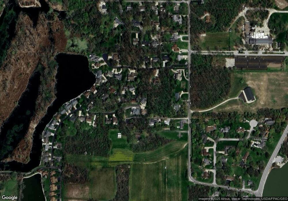
Map
Nearby Homes
- 3500 Woodhill Dr
- 146 N Harbors End Dr Unit 21A
- 3571 E Eagle Beach Cir
- 2817 E Harbor Rd
- 3638 E Rock Cliff Dr
- 3776 E Pine Dr
- 2656 E Harbor Rd Unit D-3
- 2656 E Harbor Rd Unit D-1
- 2656 E Harbor Rd Unit D-2
- 1217 NE Catawba Rd
- 1217 NE Catawba Rd Unit 15
- 1217 NE Catawba Rd Unit 13
- 1217 NE Catawba Rd Unit 14
- 1217 NE Catawba Rd Unit 16
- 4075 E Christopher Dr
- 3720 E Aqua Aire Dr Unit 138
- 764 SE Catawba Rd Unit 115
- 764 SE Catawba Rd Unit 196
- 3573 High Point Ln
- 3580 Woodhill Dr
- 3566 High Point Ln
- 0 Ohmswood Unit 4235651
- 0 High Point Ln
- 3567 High Point Ln
- 3559 High Point Ln
- 3560 Woodhill Dr
- 3640 E Oak Lake Dr
- 3660 E Oak Lake Dr
- 2844 E Ohmswood Dr
- 3553 High Point Ln
- 2846 E Ohmswood Dr
- 2842 E Ohmswood Dr
- 3548 High Point Ln
- 3680 E Oak Lake Dr
- 3600 E Oak Lake Dr
- 3547 High Point Ln
- 0 E Oak Lake Dr
- 307 NW Catawba Rd