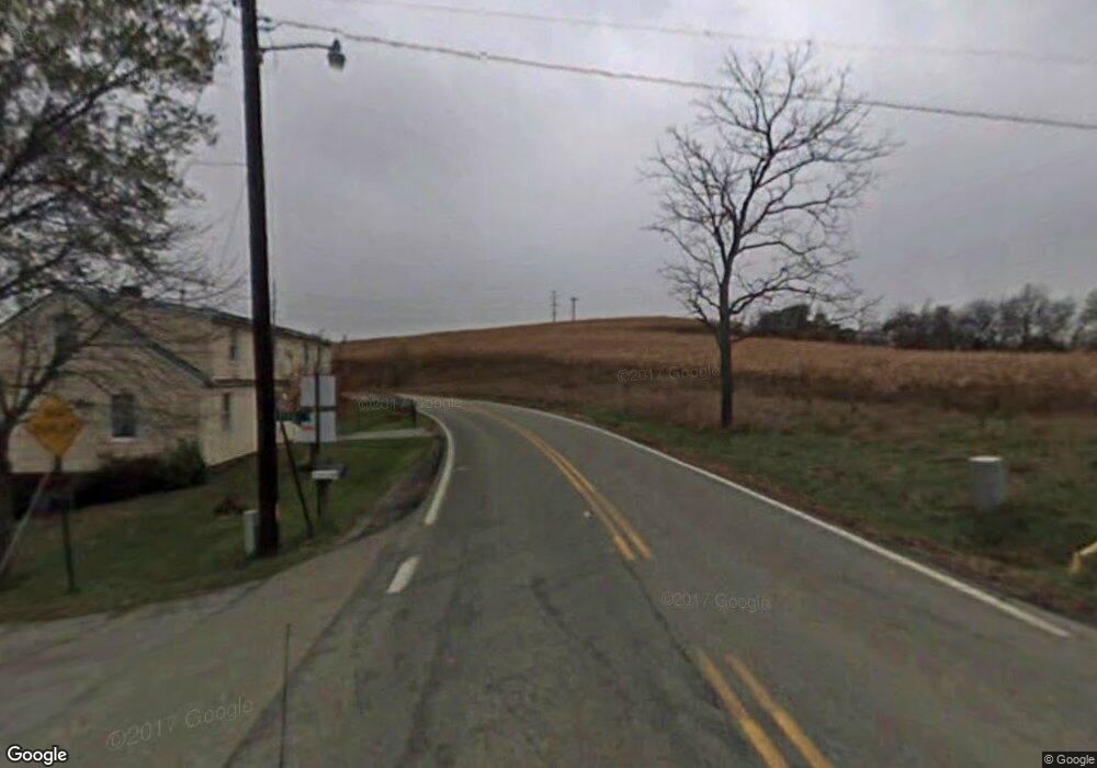
357A Middletown Rd New Stanton, PA 15672
Hempfield Township NeighborhoodEstimated Value: $113,266 - $194,000
--
Bed
--
Bath
780
Sq Ft
$211/Sq Ft
Est. Value
About This Home
This home is located at 357A Middletown Rd, New Stanton, PA 15672 and is currently estimated at $164,567, approximately $210 per square foot. 357A Middletown Rd is a home with nearby schools including Stanwood Elementary School, Harrold Middle School, and Hempfield Area Senior High School.
Ownership History
Date
Name
Owned For
Owner Type
Purchase Details
Closed on
May 11, 2012
Sold by
Harden Thomas A and Harden Heidi A
Bought by
Benson Todd T
Current Estimated Value
Home Financials for this Owner
Home Financials are based on the most recent Mortgage that was taken out on this home.
Original Mortgage
$98,188
Interest Rate
4.01%
Mortgage Type
FHA
Create a Home Valuation Report for This Property
The Home Valuation Report is an in-depth analysis detailing your home's value as well as a comparison with similar homes in the area
Home Values in the Area
Average Home Value in this Area
Purchase History
| Date | Buyer | Sale Price | Title Company |
|---|---|---|---|
| Benson Todd T | $100,000 | None Available |
Source: Public Records
Mortgage History
| Date | Status | Borrower | Loan Amount |
|---|---|---|---|
| Closed | Benson Todd T | $98,188 |
Source: Public Records
Tax History Compared to Growth
Tax History
| Year | Tax Paid | Tax Assessment Tax Assessment Total Assessment is a certain percentage of the fair market value that is determined by local assessors to be the total taxable value of land and additions on the property. | Land | Improvement |
|---|---|---|---|---|
| 2025 | $1,180 | $9,650 | $2,190 | $7,460 |
| 2024 | $1,131 | $9,650 | $2,190 | $7,460 |
| 2023 | $1,042 | $9,650 | $2,190 | $7,460 |
| 2022 | $1,042 | $9,650 | $2,190 | $7,460 |
| 2021 | $1,042 | $9,650 | $2,190 | $7,460 |
| 2020 | $1,042 | $9,650 | $2,190 | $7,460 |
| 2019 | $1,037 | $9,650 | $2,190 | $7,460 |
| 2018 | $1,025 | $9,650 | $2,190 | $7,460 |
| 2017 | $1,001 | $9,650 | $2,190 | $7,460 |
| 2016 | $952 | $9,650 | $2,190 | $7,460 |
| 2015 | $952 | $9,650 | $2,190 | $7,460 |
| 2014 | $937 | $9,650 | $2,190 | $7,460 |
Source: Public Records
Map
Nearby Homes
- 1146 Middletown Rd
- a Pennylvania Ave
- 620 Timberline Ln
- 5 Highfield St
- 1877 Main St
- 210 Wren Dr
- 106 Hedgewood Cir
- Lot #2 Joseph Vito Dr
- 214 Old Meadow Dr
- 203 Farmbrook Dr
- 125 Mohawk Dr
- 347 Chaucer Dr
- 104 Stratford Ct
- 56 Mohawk Dr
- 33 Mohawk Dr
- 2027 Zoe Ln
- 305 Hopi Dr
- 104 Pagano Dr
- 3008 Audrey Dr
- 3026 Audrey Dr
- 1576 Depot Street Extension
- 1583 Depot Street Extension
- 1577 Depot Street Extension
- 110 Laurel View Ln
- 1022 Middletown Rd
- 1022 Middletown Rd
- 115 True Ln
- 1012 Middletown Rd
- 105 True Ln
- 1564 Depot Street Extension
- 1023 Middletown Rd
- 1002 Middletown Rd
- SR3016 Shrader Hollow Rd
- 1017 Middletown Rd
- 1554 Depot Street Extension
- 1011 Middletown Rd W
- 1041 Middletown Rd
- 1041 Middletown Rd
- 997 Middletown Rd
- 115 Bassett Ln
