357A River Rd Deep River, CT 06417
Estimated Value: $1,818,000 - $3,270,128
3
Beds
5
Baths
3,908
Sq Ft
$692/Sq Ft
Est. Value
About This Home
This home is located at 357A River Rd, Deep River, CT 06417 and is currently estimated at $2,705,709, approximately $692 per square foot. 357A River Rd is a home located in Middlesex County with nearby schools including Valley Regional High School.
Ownership History
Date
Name
Owned For
Owner Type
Purchase Details
Closed on
Jul 28, 2021
Sold by
Zubretsky Joseph M
Bought by
Phillips Andrew
Current Estimated Value
Home Financials for this Owner
Home Financials are based on the most recent Mortgage that was taken out on this home.
Original Mortgage
$2,000,000
Outstanding Balance
$1,815,522
Interest Rate
2.93%
Mortgage Type
Purchase Money Mortgage
Estimated Equity
$890,187
Purchase Details
Closed on
Dec 31, 2001
Sold by
Mcdermott Sally M
Bought by
Zubretsky Robin M
Create a Home Valuation Report for This Property
The Home Valuation Report is an in-depth analysis detailing your home's value as well as a comparison with similar homes in the area
Home Values in the Area
Average Home Value in this Area
Purchase History
| Date | Buyer | Sale Price | Title Company |
|---|---|---|---|
| Phillips Andrew | $2,550,000 | None Available | |
| Zubretsky Robin M | $900,000 | -- | |
| Zubretsky Joseph M | $2,600,000 | -- |
Source: Public Records
Mortgage History
| Date | Status | Borrower | Loan Amount |
|---|---|---|---|
| Open | Phillips Andrew | $2,000,000 | |
| Previous Owner | Zubretsky Joseph M | $1,752,912 |
Source: Public Records
Tax History
| Year | Tax Paid | Tax Assessment Tax Assessment Total Assessment is a certain percentage of the fair market value that is determined by local assessors to be the total taxable value of land and additions on the property. | Land | Improvement |
|---|---|---|---|---|
| 2025 | $48,636 | $1,520,820 | $675,220 | $845,600 |
| 2024 | $47,723 | $1,520,820 | $675,220 | $845,600 |
| 2023 | $45,442 | $1,520,820 | $675,220 | $845,600 |
| 2022 | $44,073 | $1,520,820 | $675,220 | $845,600 |
| 2021 | $44,986 | $1,520,820 | $675,220 | $845,600 |
| 2020 | $47,031 | $1,568,210 | $686,140 | $882,070 |
| 2019 | $46,133 | $1,568,070 | $686,140 | $881,930 |
| 2018 | $46,133 | $1,568,070 | $686,140 | $881,930 |
| 2017 | $45,349 | $1,568,070 | $686,140 | $881,930 |
| 2016 | $43,169 | $1,568,070 | $686,140 | $881,930 |
| 2015 | $41,948 | $1,596,210 | $756,700 | $839,510 |
| 2014 | $40,859 | $1,578,780 | $756,700 | $822,080 |
Source: Public Records
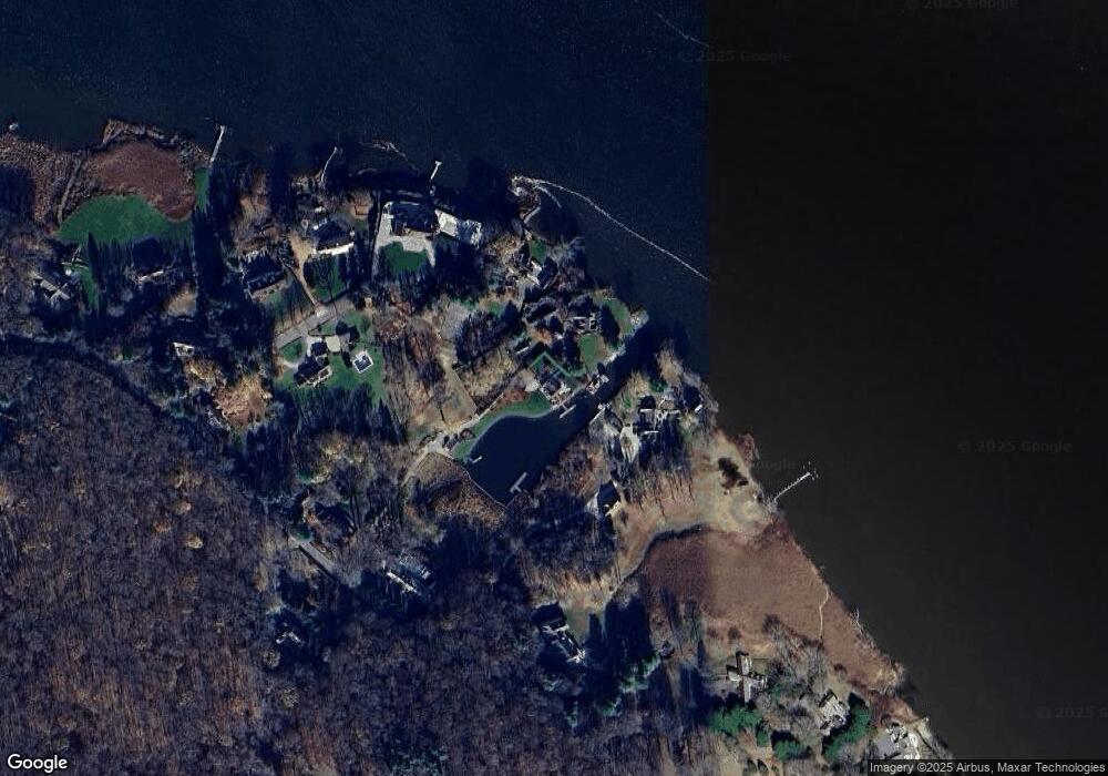
Map
Nearby Homes
- 357 River Rd
- 38 Brockway Ferry Rd
- 369 River Rd
- 16 Brockway Ferry Rd
- 25 Brockway Ferry Rd
- 35 Brockway Ferry Rd
- 349 River Rd
- 21 Brockway Ferry Rd
- 381 River Rd
- 335 River Rd
- 15 Brockway Ferry Rd
- 401 River Rd
- 391 River Rd
- 350 River Rd
- One Brockway Ferry
- 1 Brockway Ferry Rd
- 323 River Rd
- 409 River Rd
- 321 River Rd
- 28 Winterberry Rd
Your Personal Tour Guide
Ask me questions while you tour the home.