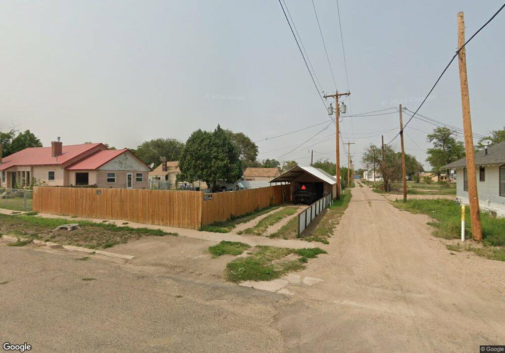
358 Carson Ave Las Animas, CO 81054
Estimated Value: $78,715 - $121,000
3
Beds
1
Bath
1,619
Sq Ft
$65/Sq Ft
Est. Value
About This Home
This home is located at 358 Carson Ave, Las Animas, CO 81054 and is currently estimated at $105,429, approximately $65 per square foot. 358 Carson Ave is a home located in Bent County with nearby schools including Las Animas Elementary School, Las Animas Junior High School, and Las Animas High School.
Ownership History
Date
Name
Owned For
Owner Type
Purchase Details
Closed on
Jan 19, 2024
Sold by
Stegman Sheila A
Bought by
Fernandez Marcos Antonio and Palomino Mardi
Current Estimated Value
Purchase Details
Closed on
Dec 6, 2018
Sold by
Presley Shelly J and Blasberg Curtis Victor
Bought by
Fernandez Marcos Antonio and Palomino Mardi Lyn
Home Financials for this Owner
Home Financials are based on the most recent Mortgage that was taken out on this home.
Original Mortgage
$68,686
Interest Rate
4.9%
Mortgage Type
New Conventional
Purchase Details
Closed on
Jan 2, 2018
Sold by
Kesterson Dale
Bought by
Presley Shelly J and Blasberg Curtis Vicotr
Purchase Details
Closed on
Apr 16, 1987
Bought by
Kesterson Dale W and Kesterson Teresa W
Create a Home Valuation Report for This Property
The Home Valuation Report is an in-depth analysis detailing your home's value as well as a comparison with similar homes in the area
Purchase History
| Date | Buyer | Sale Price | Title Company |
|---|---|---|---|
| Fernandez Marcos Antonio | $18,000 | None Listed On Document | |
| Fernandez Marcos Antonio | -- | Capital Title | |
| Presley Shelly J | -- | None Available | |
| Kesterson Dale W | -- | -- |
Source: Public Records
Mortgage History
| Date | Status | Borrower | Loan Amount |
|---|---|---|---|
| Previous Owner | Fernandez Marcos Antonio | $68,686 |
Source: Public Records
Tax History
| Year | Tax Paid | Tax Assessment Tax Assessment Total Assessment is a certain percentage of the fair market value that is determined by local assessors to be the total taxable value of land and additions on the property. | Land | Improvement |
|---|---|---|---|---|
| 2024 | $329 | $2,935 | $161 | $2,774 |
| 2023 | $326 | $2,935 | $161 | $2,774 |
| 2022 | $407 | $6,690 | $370 | $6,320 |
| 2021 | $408 | $3,822 | $300 | $3,522 |
| 2020 | $363 | $3,402 | $300 | $3,102 |
| 2019 | $198 | $3,402 | $300 | $3,102 |
| 2018 | $198 | $3,567 | $302 | $3,265 |
| 2017 | $199 | $3,567 | $302 | $3,265 |
| 2016 | $216 | $3,883 | $334 | $3,549 |
| 2015 | -- | $3,883 | $334 | $3,549 |
| 2014 | -- | $3,978 | $334 | $3,644 |
| 2013 | -- | $3,978 | $334 | $3,644 |
Source: Public Records
Map
Nearby Homes
- 312 Carson Ave
- 509 5th St
- 940 Carson Ave
- 621 Carson Ave
- 1032 Locust Ave
- 1046 Locust Ave
- 629 St Vrain Ave
- 535 Moore Ave
- 626 St Vrain St
- 626 St Vrain Ave
- 705 Locust Ave
- 433 Grove Ave
- 415 9th St
- 426 Poplar Ave
- 651 Ash Ave
- 1103 Ambassador Thompson Blvd
- 10928 Us Highway 50
- 606 Hurd Ave
- 0 Cr Ff 5
- 10525 County Rd Ee
Your Personal Tour Guide
Ask me questions while you tour the home.