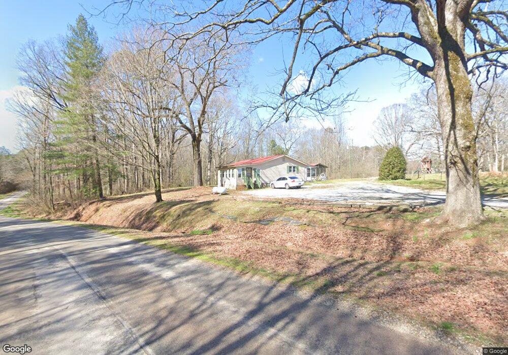
358 Cown Rd Temple, GA 30179
Estimated Value: $249,835 - $279,000
3
Beds
2
Baths
1,572
Sq Ft
$166/Sq Ft
Est. Value
About This Home
This home is located at 358 Cown Rd, Temple, GA 30179 and is currently estimated at $260,209, approximately $165 per square foot. 358 Cown Rd is a home located in Carroll County with nearby schools including Providence Elementary School, Temple Middle School, and Temple High School.
Ownership History
Date
Name
Owned For
Owner Type
Purchase Details
Closed on
Nov 6, 2021
Sold by
Hathcock Randall W
Bought by
Hathcock Geneva M
Current Estimated Value
Purchase Details
Closed on
Jan 10, 2020
Sold by
Hathcock Randall W
Bought by
Hathcock Randall W and Hathcock Geneva M
Purchase Details
Closed on
Jan 14, 2016
Sold by
Harris Dale L
Bought by
Hathcock Randall W
Purchase Details
Closed on
Aug 27, 2015
Sold by
Harris Dale L
Bought by
Shirley Michael Stephen
Purchase Details
Closed on
Aug 8, 2014
Sold by
Bridges Harold Anthony
Bought by
Harris Dale L
Purchase Details
Closed on
Aug 27, 2013
Sold by
Waddell John W
Bought by
Bridges Troy Duran and Bridges Mildred Waddell
Purchase Details
Closed on
May 28, 2013
Sold by
Bridges Mildred Waddell
Bought by
Bridges Harold Anthony
Create a Home Valuation Report for This Property
The Home Valuation Report is an in-depth analysis detailing your home's value as well as a comparison with similar homes in the area
Home Values in the Area
Average Home Value in this Area
Purchase History
| Date | Buyer | Sale Price | Title Company |
|---|---|---|---|
| Hathcock Geneva M | -- | -- | |
| Hathcock Randall W | -- | -- | |
| Hathcock Randall W | $28,000 | -- | |
| Shirley Michael Stephen | -- | -- | |
| Harris Dale L | -- | -- | |
| Harris Dale L | $22,500 | -- | |
| Bridges Troy Duran | -- | -- | |
| Bridges Mildred Waddell | -- | -- | |
| Bridges Harold Anthony | -- | -- | |
| Bridges Mildred Waddell | -- | -- |
Source: Public Records
Tax History Compared to Growth
Tax History
| Year | Tax Paid | Tax Assessment Tax Assessment Total Assessment is a certain percentage of the fair market value that is determined by local assessors to be the total taxable value of land and additions on the property. | Land | Improvement |
|---|---|---|---|---|
| 2024 | $348 | $70,402 | $12,913 | $57,489 |
| 2023 | $348 | $62,708 | $10,331 | $52,377 |
| 2022 | $735 | $29,318 | $6,887 | $22,431 |
| 2021 | $638 | $24,892 | $5,510 | $19,382 |
| 2020 | $580 | $22,578 | $5,009 | $17,569 |
| 2019 | $555 | $21,429 | $5,009 | $16,420 |
| 2018 | $523 | $19,933 | $4,681 | $15,252 |
| 2017 | $295 | $19,933 | $4,681 | $15,252 |
| 2016 | $501 | $19,026 | $5,376 | $13,650 |
| 2015 | $252 | $21,946 | $5,546 | $16,401 |
| 2014 | $616 | $21,947 | $5,546 | $16,401 |
Source: Public Records
Map
Nearby Homes
- 420 Cown Rd
- 304 Cown Rd
- 283 Cown Rd
- 0 Cown Rd Unit 7001909
- 0 Cown Rd Unit 10020563
- 0 Cown Rd Unit 7206701
- 0 Cown Rd Unit 7474705
- 0 Cown Rd Unit 3286471
- 0 Cown Rd Unit 7408517
- 0 Cown Rd Unit 3139654
- 0 Cown Rd
- 464 Cown Rd
- 438 Cown Rd
- 376 Cown Rd
- 400 Cown Rd
- 422 Long Branch Rd
- 150 Cown Rd
- 420 Long Branch Rd
- 219 Miller Agan Rd
- 131 Cown Rd