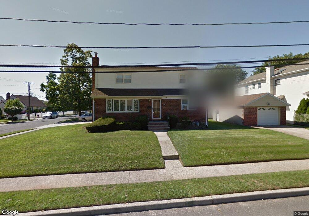
358 Doris Ave Franklin Square, NY 11010
Estimated Value: $739,779 - $931,000
4
Beds
3
Baths
1,844
Sq Ft
$453/Sq Ft
Est. Value
About This Home
This home is located at 358 Doris Ave, Franklin Square, NY 11010 and is currently estimated at $835,390, approximately $453 per square foot. 358 Doris Ave is a home located in Nassau County with nearby schools including Cheder at the Ohel.
Ownership History
Date
Name
Owned For
Owner Type
Purchase Details
Closed on
Nov 22, 2016
Sold by
Craparotta Joseph and Craparotta Michele
Bought by
Graffeo Salvatore and Porretto Carmelisa
Current Estimated Value
Home Financials for this Owner
Home Financials are based on the most recent Mortgage that was taken out on this home.
Original Mortgage
$440,000
Outstanding Balance
$353,800
Interest Rate
3.47%
Mortgage Type
New Conventional
Estimated Equity
$481,590
Purchase Details
Closed on
Dec 18, 1996
Create a Home Valuation Report for This Property
The Home Valuation Report is an in-depth analysis detailing your home's value as well as a comparison with similar homes in the area
Home Values in the Area
Average Home Value in this Area
Purchase History
| Date | Buyer | Sale Price | Title Company |
|---|---|---|---|
| Graffeo Salvatore | $550,000 | Macgregor Abstract Corporati | |
| -- | -- | -- |
Source: Public Records
Mortgage History
| Date | Status | Borrower | Loan Amount |
|---|---|---|---|
| Open | Graffeo Salvatore | $440,000 |
Source: Public Records
Tax History Compared to Growth
Tax History
| Year | Tax Paid | Tax Assessment Tax Assessment Total Assessment is a certain percentage of the fair market value that is determined by local assessors to be the total taxable value of land and additions on the property. | Land | Improvement |
|---|---|---|---|---|
| 2025 | $11,588 | $523 | $257 | $266 |
| 2024 | $4,652 | $542 | $267 | $275 |
| 2023 | $10,788 | $555 | $273 | $282 |
| 2022 | $10,788 | $555 | $273 | $282 |
| 2021 | $13,017 | $567 | $279 | $288 |
| 2020 | $9,721 | $557 | $473 | $84 |
| 2019 | $8,773 | $596 | $474 | $122 |
| 2018 | $8,932 | $636 | $0 | $0 |
| 2017 | $4,588 | $676 | $478 | $198 |
| 2016 | $8,139 | $715 | $432 | $283 |
| 2015 | $3,687 | $755 | $406 | $349 |
| 2014 | $3,687 | $755 | $406 | $349 |
| 2013 | $3,822 | $838 | $450 | $388 |
Source: Public Records
Map
Nearby Homes
- 342 Lucille Ave
- 298 Doris Ave
- 1280 Arlington Ave
- 389 Hunnewell Ave
- 280 Franklin Ave Unit 11
- 376 Hunnewell Ave
- 6 Nelson St
- 335 Evans Ave
- 345 Evans Ave
- 1311 Mcclure Ave
- 1316 Standard Ave
- 1020 Polk Ave
- 1035 Glen Dr
- 1326 Citizen Ave
- 1022 Jackson Ave
- 291 Lincoln St
- 191 Litchfield Ave
- 206 Hunnewell Ave
- 997 Glen Dr
- 1332 A St
- 1200 Arlington Ave
- 346 Doris Ave
- 3 Doris Ave
- 335 Lucille Ave
- 340 Doris Ave
- 357 Lucille Ave
- 1180 Arlington Ave
- 1185 Laidlaw Ave
- 347 Lucille Ave
- 362 Doris Ave
- 1199 Arlington Ave
- 1209 Arlington Ave
- 1181 Laidlaw Ave
- 341 Lucille Ave
- 1174 Arlington Ave
- 361 Doris Ave
- 334 Doris Ave
- 1175 Laidlaw Ave
- 367 Lucille Ave
- 335 Lucille Ave