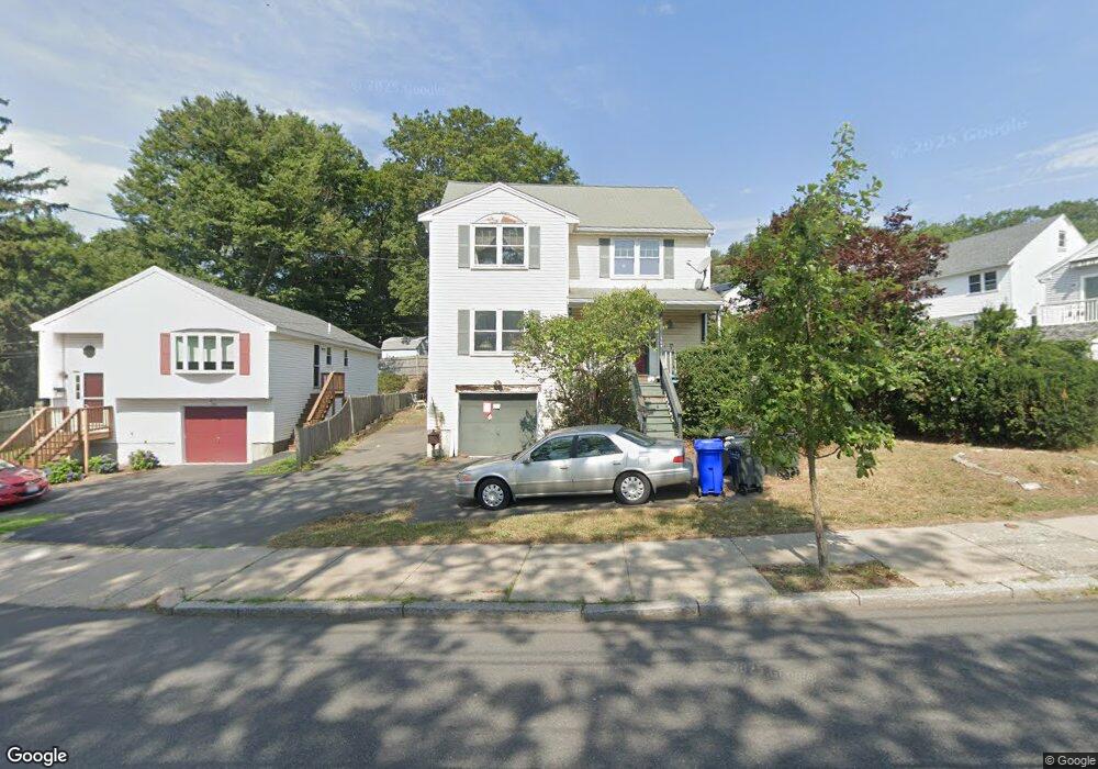
358 Forest St Malden, MA 02148
Waitts Mount NeighborhoodEstimated Value: $613,000 - $801,781
3
Beds
2
Baths
1,680
Sq Ft
$444/Sq Ft
Est. Value
About This Home
This home is located at 358 Forest St, Malden, MA 02148 and is currently estimated at $746,445, approximately $444 per square foot. 358 Forest St is a home located in Middlesex County with nearby schools including Malden High School, St Mary's School, and Cheverus Catholic School.
Ownership History
Date
Name
Owned For
Owner Type
Purchase Details
Closed on
Sep 16, 1994
Sold by
Malden Nt and Florence Donald E
Bought by
Hoegen Edward and Hoegen Sherrill A
Current Estimated Value
Home Financials for this Owner
Home Financials are based on the most recent Mortgage that was taken out on this home.
Original Mortgage
$153,855
Interest Rate
8.38%
Mortgage Type
Purchase Money Mortgage
Create a Home Valuation Report for This Property
The Home Valuation Report is an in-depth analysis detailing your home's value as well as a comparison with similar homes in the area
Home Values in the Area
Average Home Value in this Area
Purchase History
| Date | Buyer | Sale Price | Title Company |
|---|---|---|---|
| Hoegen Edward | $171,000 | -- | |
| Hoegen Edward | $171,000 | -- |
Source: Public Records
Mortgage History
| Date | Status | Borrower | Loan Amount |
|---|---|---|---|
| Open | Hoegen Edward | $194,500 | |
| Closed | Hoegen Edward | $140,000 | |
| Closed | Hoegen Edward | $153,855 |
Source: Public Records
Tax History Compared to Growth
Tax History
| Year | Tax Paid | Tax Assessment Tax Assessment Total Assessment is a certain percentage of the fair market value that is determined by local assessors to be the total taxable value of land and additions on the property. | Land | Improvement |
|---|---|---|---|---|
| 2025 | $7,889 | $696,900 | $316,300 | $380,600 |
| 2024 | $7,580 | $648,400 | $299,200 | $349,200 |
| 2023 | $7,334 | $601,600 | $273,500 | $328,100 |
| 2022 | $7,001 | $566,900 | $247,900 | $319,000 |
| 2021 | $6,571 | $534,700 | $226,500 | $308,200 |
| 2020 | $6,271 | $495,700 | $215,400 | $280,300 |
| 2019 | $5,933 | $447,100 | $205,200 | $241,900 |
| 2018 | $5,711 | $405,300 | $173,100 | $232,200 |
| 2017 | $5,652 | $398,900 | $173,100 | $225,800 |
| 2016 | $5,640 | $372,000 | $164,600 | $207,400 |
| 2015 | $5,600 | $356,000 | $155,200 | $200,800 |
| 2014 | $5,292 | $328,700 | $141,000 | $187,700 |
Source: Public Records
Map
Nearby Homes
- 73 Lanark Rd
- 153 Cherry St
- 0 S Mountain Avenue & O Cargil
- 26 Lanark Rd
- 76 Kimball St
- 68 Princeton Rd
- 47 Rocky Nook Unit 47
- 46 Pagum St
- 170 Columbia St
- 27 Temple St
- 31 Temple St
- 56 Rocky Nook Unit 56
- 117-119 Rockwell St
- 17 Swains Pond Ave
- 156 Bainbridge St
- 117 Pierce St
- 11 Granville Place
- 32 Johnson St
- 7 Valley St
- 65 Beacon St