358 High Point Ln Chestertown, MD 21620
Estimated Value: $528,000 - $1,570,890
--
Bed
4
Baths
2,180
Sq Ft
$459/Sq Ft
Est. Value
About This Home
This home is located at 358 High Point Ln, Chestertown, MD 21620 and is currently estimated at $1,000,723, approximately $459 per square foot. 358 High Point Ln is a home located in Queen Anne's County with nearby schools including Church Hill Elementary School, Sudlersville Middle School, and Queen Anne's County High School.
Ownership History
Date
Name
Owned For
Owner Type
Purchase Details
Closed on
May 24, 2011
Sold by
Barilar John A and Estate Of Angela R Barilar
Bought by
Barilar John A and Family Trust Uw Angela R Baril
Current Estimated Value
Purchase Details
Closed on
Nov 20, 2001
Sold by
Sheaffer Peter G
Bought by
Sheaffer Peter G and Barilar Angela R
Purchase Details
Closed on
Aug 15, 1983
Sold by
Myers Harrison M
Bought by
Sheaffer Peter G and Sheaffer Shirley F
Create a Home Valuation Report for This Property
The Home Valuation Report is an in-depth analysis detailing your home's value as well as a comparison with similar homes in the area
Home Values in the Area
Average Home Value in this Area
Purchase History
| Date | Buyer | Sale Price | Title Company |
|---|---|---|---|
| Barilar John A | -- | None Available | |
| Sheaffer Peter G | $400,000 | -- | |
| Sheaffer Peter G | $811,900 | -- |
Source: Public Records
Tax History Compared to Growth
Tax History
| Year | Tax Paid | Tax Assessment Tax Assessment Total Assessment is a certain percentage of the fair market value that is determined by local assessors to be the total taxable value of land and additions on the property. | Land | Improvement |
|---|---|---|---|---|
| 2025 | $9,329 | $1,000,500 | $142,500 | $858,000 |
| 2024 | $8,689 | $921,367 | $0 | $0 |
| 2023 | $8,054 | $842,233 | $0 | $0 |
| 2022 | $7,308 | $763,100 | $123,700 | $639,400 |
| 2021 | $7,426 | $762,433 | $0 | $0 |
| 2020 | $7,426 | $761,767 | $0 | $0 |
| 2019 | $7,420 | $761,100 | $123,700 | $637,400 |
| 2018 | $7,373 | $756,267 | $0 | $0 |
| 2017 | $7,327 | $751,433 | $0 | $0 |
| 2016 | -- | $746,600 | $0 | $0 |
| 2015 | $4,161 | $746,700 | $0 | $0 |
| 2014 | $4,161 | $746,700 | $0 | $0 |
Source: Public Records
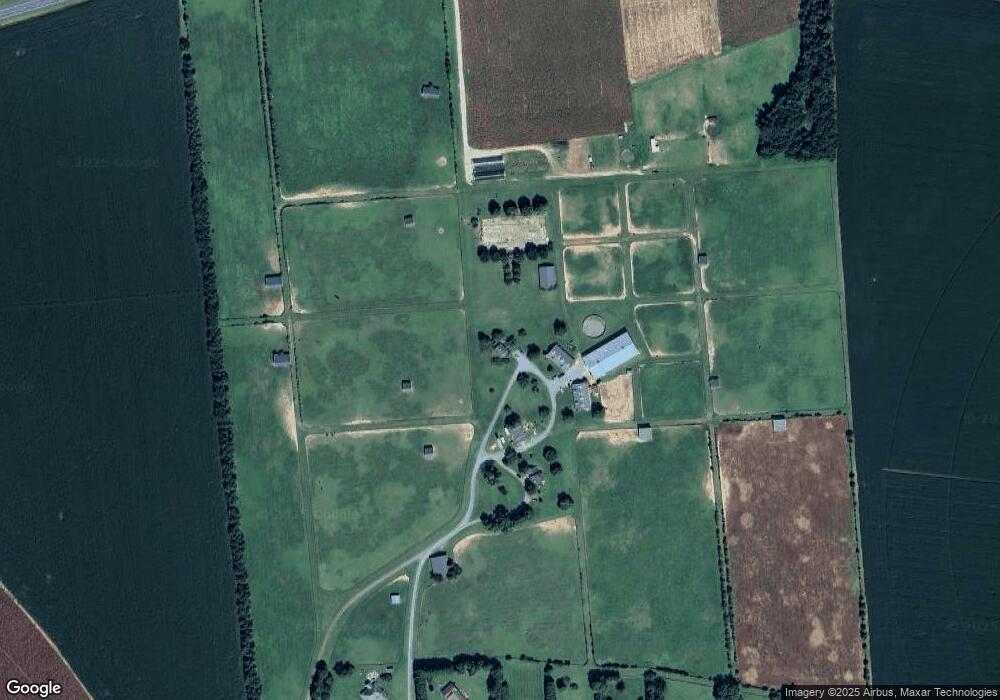
Map
Nearby Homes
- 216 Blakefield Dr
- 247 Blakefield Dr
- 109 Wilton Rd
- 222 Dutchess Rd
- 213 Central Dr
- 492 Pear Tree Point Rd
- 26933 Mallard Rd
- 0 East St
- 121 Primrose Rd
- 101 Birch Run Rd
- 105 High St
- 228 S Water St
- 206 S Water St
- 303 E Campus Ave
- 206 Cannon St
- 108 Little Harbor Way
- 104 Little Harbor Way
- 0 Little Harbor Way Unit 1
- 0 Little Harbor Way Unit 1 MDKE2004992
- 102 Little Harbor Way