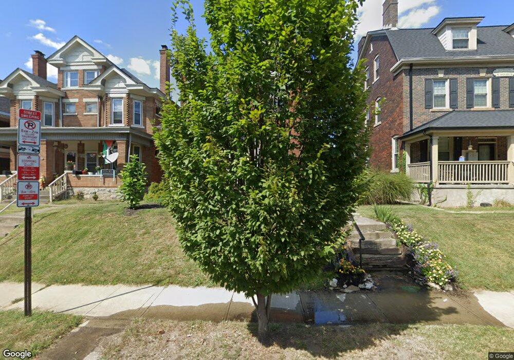
358 King Ave Columbus, OH 43201
Dennison Place NeighborhoodEstimated Value: $567,000 - $661,000
About This Home
This home is located at 358 King Ave, Columbus, OH 43201 and is currently estimated at $594,616, approximately $286 per square foot. 358 King Ave is a home located in Franklin County with nearby schools including Hubbard Elementary School, Dominion Middle School, and Whetstone High School.
Ownership History
We collect this data history from publicly available records. To have your information removed, we recommend requesting removal directly through your county’s website.
Purchase Details
Home Financials for this Owner
Home Financials are based on the most recent Mortgage that was taken out on this home.Purchase Details
Home Values in the Area
Average Home Value in this Area
Purchase History
We collect this data history from publicly available records. To have your information removed, we recommend requesting removal directly through your county’s website.
| Date | Buyer | Sale Price | Title Company |
|---|---|---|---|
| $200,000 | Amerititle | ||
| -- | -- |
Mortgage History
We collect this data history from publicly available records. To have your information removed, we recommend requesting removal directly through your county’s website.
| Date | Status | Borrower | Loan Amount |
|---|---|---|---|
| Previous Owner | $177,000 | ||
| Previous Owner | $190,400 | ||
| Previous Owner | $160,000 |
Tax History
We collect this data history from publicly available records. To have your information removed, we recommend requesting removal directly through your county’s website.
| Year | Tax Paid | Tax Assessment Tax Assessment Total Assessment is a certain percentage of the fair market value that is determined by local assessors to be the total taxable value of land and additions on the property. | Land | Improvement |
|---|---|---|---|---|
| 2025 | $7,572 | $168,710 | $58,560 | $110,150 |
| 2024 | $7,572 | $168,710 | $58,560 | $110,150 |
| 2023 | $7,475 | $168,700 | $58,555 | $110,145 |
| 2022 | $7,673 | $147,950 | $45,190 | $102,760 |
| 2021 | $7,687 | $147,950 | $45,190 | $102,760 |
| 2020 | $7,697 | $147,950 | $45,190 | $102,760 |
| 2019 | $6,882 | $113,440 | $34,760 | $78,680 |
| 2018 | $5,921 | $113,440 | $34,760 | $78,680 |
| 2017 | $6,232 | $113,440 | $34,760 | $78,680 |
| 2016 | $5,586 | $84,320 | $24,150 | $60,170 |
| 2015 | $4,975 | $82,740 | $24,150 | $58,590 |
| 2014 | $4,988 | $82,740 | $24,150 | $58,590 |
| 2013 | $2,236 | $75,215 | $21,945 | $53,270 |
Map
- 355 King Ave
- 1441 Neil Ave
- 420 W 6th Ave
- 1368 Neil Ave
- 1387 Forsythe Ave
- 1300 Neil Ave
- 1320 Forsythe Ave
- 1315 Highland St
- 1441-1443 Hunter Ave
- 137 King Ave
- 121 Mcmillen Ave
- 1220 Neil Ave
- 1283 Hunter Ave
- 80 King Ave
- 1285 Dennison Ave Unit 287
- 27 W 8th Ave
- 49-51 Clark Place
- 38-40 Clark Place
- 39 Clark Place
- 30 Clark Place
- 362 King Ave Unit 364
- 366 King Ave Unit 368
- 1460 Michigan Ave
- 342 King Ave
- 1472 Michigan Ave Unit 74
- 338 King Ave
- 380 King Ave
- 1476-1478-1478 Michigan Ave Unit 1478 Michigan Ave.
- 1484 Michigan Ave
- 1484 Michigan Ave Unit D
- 1484 Michigan Ave
- 332 King Ave
- 361 King Ave
- 363 King Ave
- 351 King Ave
- 384 King Ave
- 1484 1/2 Michigan Ave Unit D
- 1482 Michigan Ave
- 345 King Ave
- 1465 Michigan Ave Unit 467
Ask me questions while you tour the home.