358 Majors Ln Rabun Gap, GA 30568
Estimated Value: $522,000 - $672,000
2
Beds
2
Baths
2,480
Sq Ft
$234/Sq Ft
Est. Value
About This Home
This home is located at 358 Majors Ln, Rabun Gap, GA 30568 and is currently estimated at $579,318, approximately $233 per square foot. 358 Majors Ln is a home with nearby schools including Rabun County Primary School, Rabun County High School, and Rabun Gap Nacoochee School.
Ownership History
Date
Name
Owned For
Owner Type
Purchase Details
Closed on
Jun 11, 2010
Sold by
Majors Russell Ray
Bought by
Majors Russell R
Current Estimated Value
Purchase Details
Closed on
May 11, 2010
Sold by
Majors Russell R
Bought by
Majors W Ray
Purchase Details
Closed on
Aug 1, 1980
Bought by
Majors W Ray
Purchase Details
Closed on
Aug 1, 1972
Purchase Details
Closed on
Feb 1, 1970
Create a Home Valuation Report for This Property
The Home Valuation Report is an in-depth analysis detailing your home's value as well as a comparison with similar homes in the area
Home Values in the Area
Average Home Value in this Area
Purchase History
| Date | Buyer | Sale Price | Title Company |
|---|---|---|---|
| Majors Russell R | -- | -- | |
| Majors Russell R | -- | -- | |
| Majors Russell R | -- | -- | |
| Majors W Ray | -- | -- | |
| Majors W Ray | -- | -- | |
| Majors W Ray | -- | -- | |
| Majors W Ray | -- | -- | |
| -- | $21,000 | -- | |
| -- | $21,000 | -- | |
| -- | $14,000 | -- | |
| -- | $14,000 | -- |
Source: Public Records
Tax History
| Year | Tax Paid | Tax Assessment Tax Assessment Total Assessment is a certain percentage of the fair market value that is determined by local assessors to be the total taxable value of land and additions on the property. | Land | Improvement |
|---|---|---|---|---|
| 2025 | $2,482 | $160,102 | $62,027 | $98,075 |
| 2024 | $2,435 | $153,739 | $62,027 | $91,712 |
| 2023 | $2,507 | $138,983 | $56,388 | $82,595 |
| 2022 | $2,451 | $135,904 | $56,388 | $79,516 |
| 2021 | $2,383 | $129,093 | $60,662 | $68,431 |
| 2020 | $2,321 | $121,683 | $60,662 | $61,021 |
| 2019 | $2,338 | $121,683 | $60,662 | $61,021 |
| 2018 | $2,346 | $121,683 | $60,662 | $61,021 |
| 2017 | $2,250 | $121,683 | $60,662 | $61,021 |
| 2016 | $2,261 | $121,934 | $60,662 | $61,272 |
| 2015 | $2,310 | $121,934 | $60,662 | $61,272 |
| 2014 | $2,322 | $121,932 | $60,660 | $61,272 |
Source: Public Records
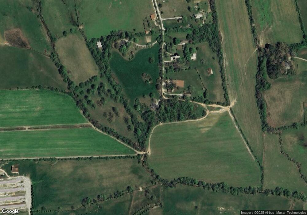
Map
Nearby Homes
- 0 Blue Ridge Gap Rd Unit 10679893
- 5019 Wolffork Rd
- 133 Simms Way
- 375 Western Way
- 373 Western Way
- 5192 Wolffork Rd
- 0 Pitts Way Unit 10592369
- 0 Sylvan Lake Dr Unit 47,48 10485897
- 0 Crest Ln Unit LOT 5
- 786 Hope Haven Ln
- 130 Ivy Trail
- 1422 Wolffork Rd
- LOT 121 Doolittle Dr
- 0 Alto Ln Unit 10669756
- 6159 Wolffork Rd
- 190 Legendary Ln
- 44 Cessna Ln
- 243 Degroff Ln
- 0 Bob Hoover Trail Unit LOT 78
- 513 Coleman Heights Ln
- 230 Majors Ln
- 285 Dickerson Ln
- 420 Dickerson Ln
- 301 Dickerson Ln
- 341 Dickerson Ln
- 182 Majors Ln
- 235 Dickerson Ln
- 0 Dickerson Ln Unit 66873
- 0 Dickerson Ln Unit 43393
- 187 Dickerson Ln
- 257 Dickerson Ln
- 3296 Wolffork Rd
- 165 Dickerson Ln
- 123 Dickerson Ln
- 4206 Wolffork Rd
- 4504 Wolffork Rd
- 20 Dickerson Ln
- 4346 Wolffork Rd
- 4152 Wolffork Rd
- 2882 Wolffork Rd
Your Personal Tour Guide
Ask me questions while you tour the home.