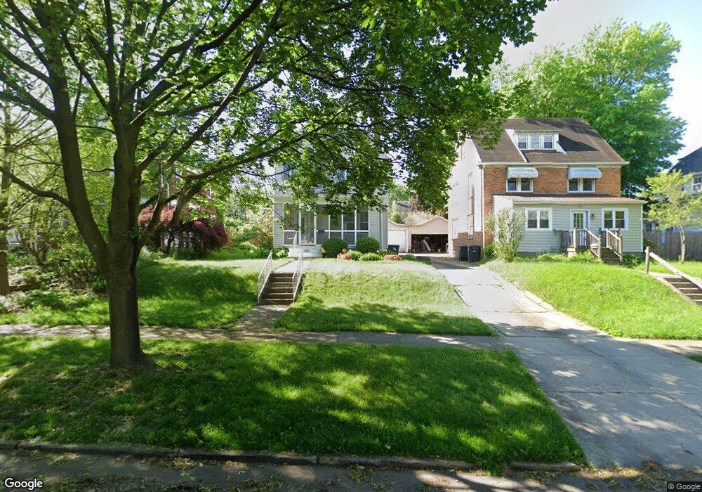
358 N Firestone Blvd Akron, OH 44301
Firestone Park NeighborhoodEstimated Value: $133,000 - $178,000
3
Beds
2
Baths
1,781
Sq Ft
$85/Sq Ft
Est. Value
About This Home
This home is located at 358 N Firestone Blvd, Akron, OH 44301 and is currently estimated at $151,231, approximately $84 per square foot. 358 N Firestone Blvd is a home located in Summit County with nearby schools including Kenmore Garfield Community Learning Center, Main Preparatory Academy, and Eagle Elementary.
Ownership History
Date
Name
Owned For
Owner Type
Purchase Details
Closed on
Mar 21, 1995
Sold by
Black David S
Bought by
Thurman Rodney C and Woods Andrea
Current Estimated Value
Home Financials for this Owner
Home Financials are based on the most recent Mortgage that was taken out on this home.
Original Mortgage
$58,900
Interest Rate
8.97%
Mortgage Type
New Conventional
Create a Home Valuation Report for This Property
The Home Valuation Report is an in-depth analysis detailing your home's value as well as a comparison with similar homes in the area
Home Values in the Area
Average Home Value in this Area
Purchase History
| Date | Buyer | Sale Price | Title Company |
|---|---|---|---|
| Thurman Rodney C | $62,000 | -- |
Source: Public Records
Mortgage History
| Date | Status | Borrower | Loan Amount |
|---|---|---|---|
| Closed | Thurman Rodney C | $58,900 |
Source: Public Records
Tax History
| Year | Tax Paid | Tax Assessment Tax Assessment Total Assessment is a certain percentage of the fair market value that is determined by local assessors to be the total taxable value of land and additions on the property. | Land | Improvement |
|---|---|---|---|---|
| 2025 | $2,170 | $40,387 | $9,485 | $30,902 |
| 2024 | $2,170 | $40,387 | $9,485 | $30,902 |
| 2023 | $2,170 | $40,387 | $9,485 | $30,902 |
| 2022 | $2,109 | $30,808 | $7,186 | $23,622 |
| 2021 | $2,111 | $30,808 | $7,186 | $23,622 |
| 2020 | $2,079 | $30,810 | $7,190 | $23,620 |
| 2019 | $1,860 | $24,880 | $6,680 | $18,200 |
| 2018 | $1,835 | $24,880 | $6,680 | $18,200 |
| 2017 | $1,864 | $24,880 | $6,680 | $18,200 |
| 2016 | $1,866 | $24,880 | $6,680 | $18,200 |
| 2015 | $1,864 | $24,880 | $6,680 | $18,200 |
| 2014 | $1,849 | $24,880 | $6,680 | $18,200 |
| 2013 | $1,963 | $27,080 | $6,680 | $20,400 |
Source: Public Records
Map
Nearby Homes
- 0 Beardsley St
- 362 Palm Ave
- 1500 Beardsley St
- 449 Palm Ave
- 370 Cypress Ave
- 378 Cypress Ave
- 1268 Brown St
- 485 E Archwood Ave
- 1345 Bellows St
- 1212 Tulip St
- 1327 Herberich Ave
- 1241 Wilbur Ave
- 1243 Dietz Ave
- 1281 Neptune Ave
- 1243 Herberich Ave
- 1203 Atwood Ave
- 162 E Archwood Ave
- 1236 Grant St
- 1235 Bellows St
- 457 S Firestone Blvd
- 362 N Firestone Blvd
- 352 N Firestone Blvd
- 366 N Firestone Blvd
- 348 N Firestone Blvd
- 365 Lindenwood Ave
- 361 Lindenwood Ave
- 371 Lindenwood Ave
- 372 N Firestone Blvd
- 342 N Firestone Blvd
- 375 Lindenwood Ave
- 357 Lindenwood Ave
- 379 Lindenwood Ave
- 376 N Firestone Blvd
- 353 Lindenwood Ave
- 338 N Firestone Blvd
- 359 N Firestone Blvd
- 355 N Firestone Blvd
- 383 Lindenwood Ave
- 363 N Firestone Blvd
- 349 Lindenwood Ave