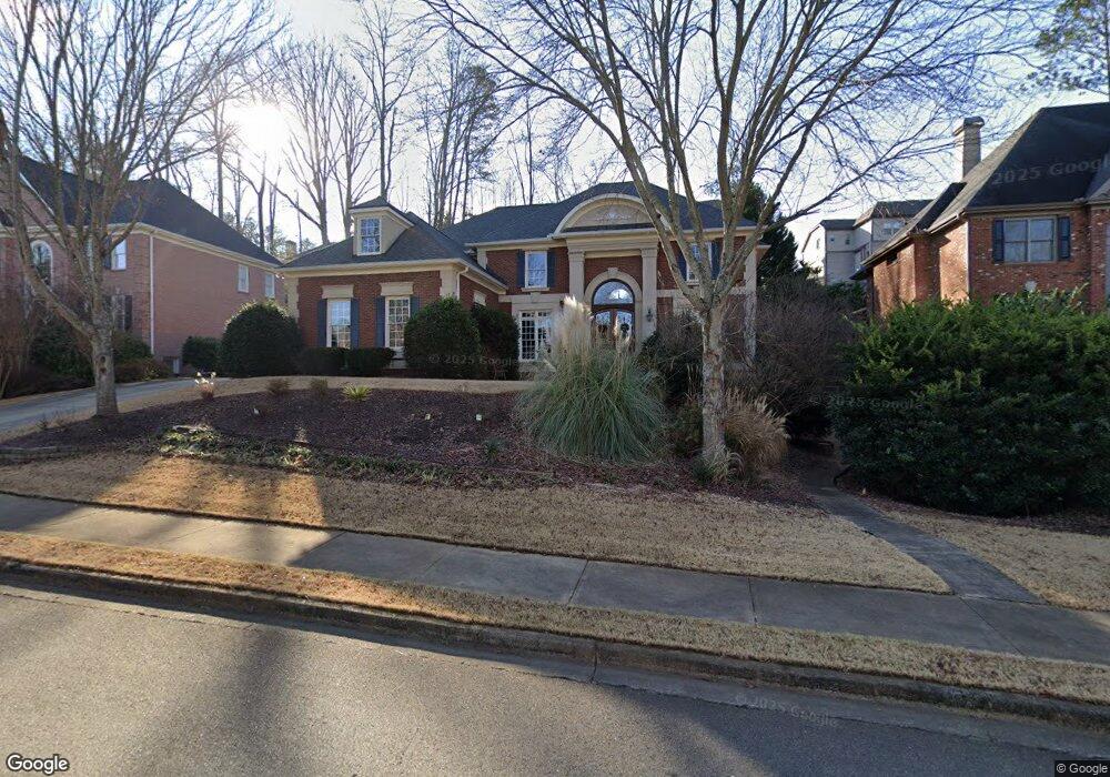
3582 Cape York Trace Alpharetta, GA 30022
Estimated Value: $1,213,663 - $1,256,000
4
Beds
3
Baths
3,868
Sq Ft
$320/Sq Ft
Est. Value
About This Home
This home is located at 3582 Cape York Trace, Alpharetta, GA 30022 and is currently estimated at $1,237,916, approximately $320 per square foot. 3582 Cape York Trace is a home located in Fulton County with nearby schools including New Prospect Elementary School, Webb Bridge Middle School, and Alpharetta High School.
Ownership History
Date
Name
Owned For
Owner Type
Purchase Details
Closed on
Sep 26, 2025
Sold by
Nolen Marie Angela
Bought by
Aluvala Sravanthi and Yalamarthy Ravi Kiran
Current Estimated Value
Home Financials for this Owner
Home Financials are based on the most recent Mortgage that was taken out on this home.
Original Mortgage
$806,500
Outstanding Balance
$805,779
Interest Rate
6.56%
Mortgage Type
Purchase Money Mortgage
Estimated Equity
$432,137
Purchase Details
Closed on
Mar 15, 2000
Sold by
David Sewell Inc
Bought by
Nolen William K and Nolen Marie A
Create a Home Valuation Report for This Property
The Home Valuation Report is an in-depth analysis detailing your home's value as well as a comparison with similar homes in the area
Home Values in the Area
Average Home Value in this Area
Purchase History
| Date | Buyer | Sale Price | Title Company |
|---|---|---|---|
| Aluvala Sravanthi | $1,240,000 | -- | |
| Nolen William K | $383,400 | -- |
Source: Public Records
Mortgage History
| Date | Status | Borrower | Loan Amount |
|---|---|---|---|
| Open | Aluvala Sravanthi | $806,500 |
Source: Public Records
Tax History Compared to Growth
Tax History
| Year | Tax Paid | Tax Assessment Tax Assessment Total Assessment is a certain percentage of the fair market value that is determined by local assessors to be the total taxable value of land and additions on the property. | Land | Improvement |
|---|---|---|---|---|
| 2025 | $1,213 | $407,960 | $128,720 | $279,240 |
| 2023 | $9,766 | $346,000 | $84,680 | $261,320 |
| 2022 | $5,442 | $280,720 | $62,200 | $218,520 |
| 2021 | $6,467 | $252,120 | $62,080 | $190,040 |
| 2020 | $6,485 | $227,240 | $47,280 | $179,960 |
| 2019 | $1,015 | $223,240 | $46,440 | $176,800 |
| 2018 | $5,587 | $218,000 | $45,360 | $172,640 |
| 2017 | $5,387 | $199,160 | $47,800 | $151,360 |
| 2016 | $5,360 | $199,160 | $47,800 | $151,360 |
| 2015 | $6,325 | $199,160 | $47,800 | $151,360 |
| 2014 | $5,288 | $185,240 | $44,480 | $140,760 |
Source: Public Records
Map
Nearby Homes
- 10900 Wittenridge Dr Unit I3
- 10900 Wittenridge Dr Unit H8
- 10900 Wittenridge Dr Unit L6
- 10900 Wittenridge Dr Unit C7
- 870 Longstone Landing
- 10845 Carrissa Trail
- 465 Kirkstall Trail
- 125 Sandridge Ct
- 610 Varina Way
- 345 Kincardine Way Unit IIIA
- 3396 Carverton Ln
- 825 Highland Bend Cove
- 10880 Windham Way
- 3010 Brooke View Ct Unit 5
- 4255 Park Brooke Trace
- 105 Kimball Bridge Cove
- 3962 Erin Dr
- 4345 Park Brooke Trace
- 3572 Cape York Trace
- 3572 Cape York Trace
- 3572 Cape York Trace
- 3572 Cape York Trace
- 3592 Cape York Trace
- 12075 Castleton Ct Unit 10
- 12075 Castleton Ct
- 3571 Cape York Trace Unit IV
- 3561 Cape York Trace
- 12085 Castleton Ct Unit 9
- 12085 Castleton Ct
- 3562 Cape York Trace Unit IV
- 3592 Cape York Trace
- 3592 Cape York Trace Unit IV
- 195 Cabots Cove Ct
- 200 Boxgrove Rd Unit 4
- 3602 Cape York Trace
- 190 Cabots Cove Ct
- 3552 Cape York Trace
- 410 Chapel Saint Leon Ct