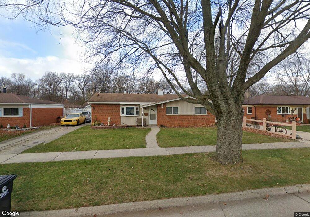
35828 Rolf St Westland, MI 48186
Estimated Value: $174,000 - $198,360
--
Bed
1
Bath
1,103
Sq Ft
$170/Sq Ft
Est. Value
About This Home
This home is located at 35828 Rolf St, Westland, MI 48186 and is currently estimated at $187,840, approximately $170 per square foot. 35828 Rolf St is a home located in Wayne County with nearby schools including Wildwood Elementary School, Marshall Upper Elementary School, and Adlai Stevenson Middle School.
Ownership History
Date
Name
Owned For
Owner Type
Purchase Details
Closed on
Jul 13, 2006
Sold by
White Andrew L
Bought by
Deutsche Bank National Trust Co and Registered Holders Of Gsamp Trust 2006-S
Current Estimated Value
Purchase Details
Closed on
Mar 23, 2004
Sold by
White Carey L and White Carey Lynne
Bought by
White Andrew L
Home Financials for this Owner
Home Financials are based on the most recent Mortgage that was taken out on this home.
Original Mortgage
$100,800
Interest Rate
8.55%
Mortgage Type
Purchase Money Mortgage
Create a Home Valuation Report for This Property
The Home Valuation Report is an in-depth analysis detailing your home's value as well as a comparison with similar homes in the area
Home Values in the Area
Average Home Value in this Area
Purchase History
| Date | Buyer | Sale Price | Title Company |
|---|---|---|---|
| Deutsche Bank National Trust Co | $116,056 | None Available | |
| White Andrew L | -- | First Michigan Title Inc |
Source: Public Records
Mortgage History
| Date | Status | Borrower | Loan Amount |
|---|---|---|---|
| Previous Owner | White Andrew L | $100,800 |
Source: Public Records
Tax History Compared to Growth
Tax History
| Year | Tax Paid | Tax Assessment Tax Assessment Total Assessment is a certain percentage of the fair market value that is determined by local assessors to be the total taxable value of land and additions on the property. | Land | Improvement |
|---|---|---|---|---|
| 2025 | $1,693 | $90,200 | $0 | $0 |
| 2024 | $1,693 | $84,200 | $0 | $0 |
| 2023 | $1,617 | $75,300 | $0 | $0 |
| 2022 | $1,894 | $67,000 | $0 | $0 |
| 2021 | $1,847 | $64,500 | $0 | $0 |
| 2020 | $1,826 | $58,700 | $0 | $0 |
| 2019 | $1,760 | $56,800 | $0 | $0 |
| 2018 | $1,330 | $49,500 | $0 | $0 |
| 2017 | $650 | $45,600 | $0 | $0 |
| 2016 | $1,709 | $45,600 | $0 | $0 |
| 2015 | $3,293 | $40,740 | $0 | $0 |
| 2013 | $3,190 | $32,550 | $0 | $0 |
| 2012 | $1,619 | $34,430 | $0 | $0 |
Source: Public Records
Map
Nearby Homes
- 36034 Rolf St
- 35608 Somerset St
- 36293 Monroe Ave
- 36323 Monroe Ave
- 35193 Sansburn St
- 35236 Glen St
- 1510 S Crown St
- 1519 S Dowling St
- 344 S Christine
- 357 S Dobson St
- 34728 Somerset St
- 540 Dartmouth Crescent Ct
- 1811 S Harvey Ave
- 1853 S Linville Ave
- 1825 Liddicot Ave
- 624 N Parent St
- 639 N Harvey St
- 32730 Palmer Rd
- 34465 Fairchild St
- 284 S Byfield St
- 35840 Rolf St
- 35816 Rolf St
- 35819 Florane St
- 35831 Florane St
- 35807 Florane St
- 35856 Rolf St
- 35760 Rolf St
- 35843 Florane St
- 35827 Rolf St
- 35839 Rolf St
- 35763 Florane St
- 35815 Rolf St
- 0 Florane St
- 35851 Rolf St
- 35868 Rolf St
- 35855 Florane St
- 35748 Rolf St Unit Bldg-Unit
- 35748 Rolf St
- 35759 Rolf St
- 35863 Rolf St