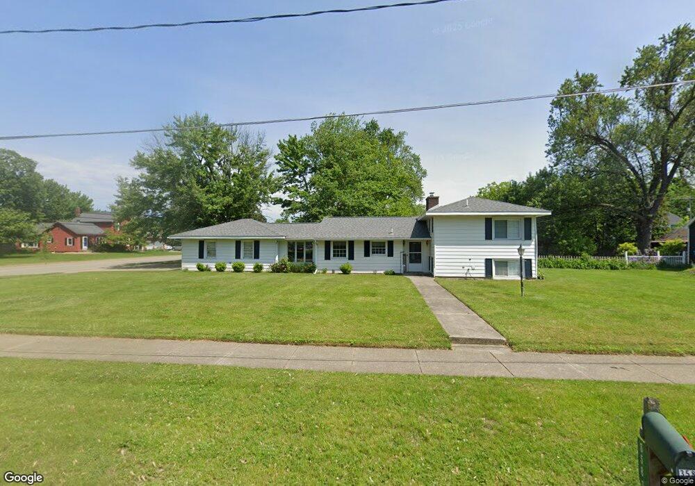
3583 Kiel St Hudsonville, MI 49426
Estimated Value: $317,864 - $346,000
3
Beds
2
Baths
1,202
Sq Ft
$277/Sq Ft
Est. Value
About This Home
This home is located at 3583 Kiel St, Hudsonville, MI 49426 and is currently estimated at $333,466, approximately $277 per square foot. 3583 Kiel St is a home located in Ottawa County with nearby schools including Park Elementary School, Hudsonville Freshman Campus, and Hudsonville High School.
Ownership History
Date
Name
Owned For
Owner Type
Purchase Details
Closed on
Jan 13, 2021
Sold by
Kubacki Kathleen M
Bought by
Kubacki Kathleen M and Kubacki Kathleen M
Current Estimated Value
Purchase Details
Closed on
Mar 11, 2003
Sold by
Cremer Matthew E and Cremer Christine A
Bought by
Kubacki Kathleen M
Home Financials for this Owner
Home Financials are based on the most recent Mortgage that was taken out on this home.
Original Mortgage
$135,000
Outstanding Balance
$56,424
Interest Rate
5.5%
Mortgage Type
Purchase Money Mortgage
Estimated Equity
$277,042
Create a Home Valuation Report for This Property
The Home Valuation Report is an in-depth analysis detailing your home's value as well as a comparison with similar homes in the area
Home Values in the Area
Average Home Value in this Area
Purchase History
| Date | Buyer | Sale Price | Title Company |
|---|---|---|---|
| Kubacki Kathleen M | -- | None Available | |
| Kubacki Kathleen M | $135,000 | Metropolitan Title Company |
Source: Public Records
Mortgage History
| Date | Status | Borrower | Loan Amount |
|---|---|---|---|
| Open | Kubacki Kathleen M | $135,000 |
Source: Public Records
Tax History Compared to Growth
Tax History
| Year | Tax Paid | Tax Assessment Tax Assessment Total Assessment is a certain percentage of the fair market value that is determined by local assessors to be the total taxable value of land and additions on the property. | Land | Improvement |
|---|---|---|---|---|
| 2025 | $2,453 | $129,200 | $0 | $0 |
| 2024 | $2,453 | $114,400 | $0 | $0 |
| 2023 | $2,341 | $102,100 | $0 | $0 |
| 2022 | $2,227 | $91,000 | $0 | $0 |
| 2021 | $2,162 | $85,200 | $0 | $0 |
| 2020 | $2,137 | $84,100 | $0 | $0 |
| 2019 | $2,102 | $80,800 | $0 | $0 |
| 2018 | $1,926 | $78,400 | $0 | $0 |
| 2017 | $1,926 | $75,500 | $0 | $0 |
| 2016 | -- | $70,800 | $0 | $0 |
| 2015 | -- | $69,200 | $0 | $0 |
| 2014 | -- | $62,400 | $0 | $0 |
Source: Public Records
Map
Nearby Homes
- 5640 Lawndale Ave
- 3505 Curtis St
- 5570 Marlin Ave
- 5744 36th Ave
- 5374 36th Ave Unit 37
- 3824 Grant St
- 5557 Pleasant Ave
- 3979 Grant St
- 3126 Van Buren St
- 3540 Golfside Dr
- 5270 Southbrook Ct Unit 64
- 3439 Hidden Cove Ln
- 5290 Southbrook Ct Unit 46
- 4853 Meadowview Ct Unit 25
- 2836 Beechridge Dr
- 3808 Port Sheldon St
- 4948 Beechtree Ave
- 575 32nd Ave
- 4646 Canterbury Dr
- Bay Harbor Plan at Valley Point - Landmark Series