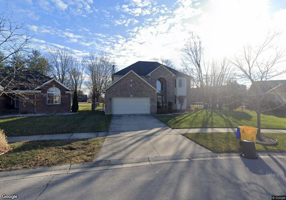
35840 Evanston Ln New Baltimore, MI 48047
Estimated Value: $416,000 - $484,000
--
Bed
1
Bath
2,488
Sq Ft
$182/Sq Ft
Est. Value
About This Home
This home is located at 35840 Evanston Ln, New Baltimore, MI 48047 and is currently estimated at $452,677, approximately $181 per square foot. 35840 Evanston Ln is a home located in Macomb County with nearby schools including Lighthouse Elementary School, Anchor Bay Middle School North, and Anchor Bay High School.
Ownership History
Date
Name
Owned For
Owner Type
Purchase Details
Closed on
Jan 31, 2005
Sold by
Sal Mar Of Riverside Inc
Bought by
Grusser Jody L
Current Estimated Value
Home Financials for this Owner
Home Financials are based on the most recent Mortgage that was taken out on this home.
Original Mortgage
$207,920
Outstanding Balance
$103,030
Interest Rate
5.37%
Mortgage Type
Purchase Money Mortgage
Estimated Equity
$349,647
Create a Home Valuation Report for This Property
The Home Valuation Report is an in-depth analysis detailing your home's value as well as a comparison with similar homes in the area
Home Values in the Area
Average Home Value in this Area
Purchase History
| Date | Buyer | Sale Price | Title Company |
|---|---|---|---|
| Grusser Jody L | $259,900 | Greco | |
| Sal Mar Of Riverside Inc | $80,000 | Greco | |
| Towne Square Development Inc | -- | Greco |
Source: Public Records
Mortgage History
| Date | Status | Borrower | Loan Amount |
|---|---|---|---|
| Open | Grusser Jody L | $207,920 |
Source: Public Records
Tax History Compared to Growth
Tax History
| Year | Tax Paid | Tax Assessment Tax Assessment Total Assessment is a certain percentage of the fair market value that is determined by local assessors to be the total taxable value of land and additions on the property. | Land | Improvement |
|---|---|---|---|---|
| 2025 | $4,752 | $210,200 | $0 | $0 |
| 2024 | $3,981 | $208,500 | $0 | $0 |
| 2023 | $3,790 | $198,900 | $0 | $0 |
| 2022 | $4,316 | $158,500 | $0 | $0 |
| 2021 | $4,155 | $151,600 | $0 | $0 |
| 2020 | $3,507 | $145,000 | $0 | $0 |
| 2019 | $3,957 | $134,600 | $0 | $0 |
| 2018 | $3,892 | $122,400 | $0 | $0 |
| 2017 | $3,870 | $118,300 | $21,400 | $96,900 |
| 2016 | $3,841 | $118,300 | $0 | $0 |
| 2015 | -- | $103,800 | $0 | $0 |
| 2014 | -- | $92,400 | $0 | $0 |
Source: Public Records
Map
Nearby Homes
- 51435 Base St
- 1 Hamer St
- 2 Hamer St
- 36465 Main St
- 51060 Blackwell St
- 52400 Huntley Ave
- 52411 Washington St
- 52451 Washington St
- 52511 Washington St
- 35074 Windsor Dr Unit 49
- 35037 Windsor Dr
- 51300 Kirby Dr
- 51341 Mayfield Dr
- 37095 Highview St
- 34276 Cherry Hill Ln
- 34735 Joel St
- 34521 Blue Spruce Rd
- 34764 Jerome St
- 50759 Holt St
- 52966 Trailside Dr
- 35856 Evanston Ln
- 51419 Rivard Rd
- 35888 Evanston Ln
- 51439 Rivard Rd
- 51432 Rivard Rd
- 35904 Evanston Ln
- 51430 Perrin St
- 35893 Evanston Ln
- 51430 Wilshire Ct
- 51416 Wilshire Ct
- 51461 Rivard Rd
- 51480 Rivard Rd
- 35926 Evanston Ln
- 35915 Evanston Ln
- 51458 Wilshire Ct
- 51380 Perrin St
- 51487 Rivard Rd
- 51486 Wilshire Ct
- 51502 Rivard Rd
- 51415 Wilshire Ct