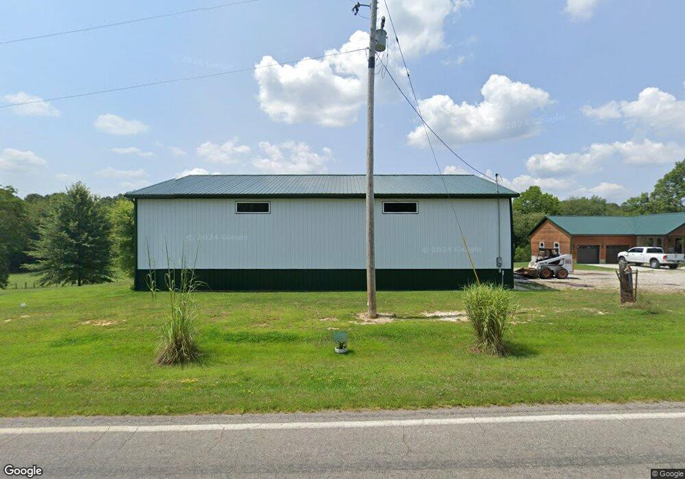
35840 State Route 683 Mc Arthur, OH 45651
Estimated Value: $121,063 - $234,000
Studio
1
Bath
1,056
Sq Ft
$177/Sq Ft
Est. Value
About This Home
This home is located at 35840 State Route 683, Mc Arthur, OH 45651 and is currently estimated at $187,266, approximately $177 per square foot. 35840 State Route 683 is a home located in Vinton County with nearby schools including Vinton County High School and TRUTH CHRISTIAN SCHOOL.
Ownership History
Date
Name
Owned For
Owner Type
Purchase Details
Closed on
Sep 3, 2025
Sold by
Lawson Shirley A and Lawson Gene O
Bought by
Lawson Shirley A and Lawson Gene O
Current Estimated Value
Purchase Details
Closed on
Nov 4, 2021
Sold by
Lawson Gene O
Bought by
Lawson Shirley A
Purchase Details
Closed on
Feb 11, 2016
Sold by
Lawson Gene O
Bought by
Gene O Shirley A Lawson
Purchase Details
Closed on
Dec 6, 2013
Sold by
Estate Of Burton W Croley
Bought by
Lawson Gene O
Create a Home Valuation Report for This Property
The Home Valuation Report is an in-depth analysis detailing your home's value as well as a comparison with similar homes in the area
Purchase History
| Date | Buyer | Sale Price | Title Company |
|---|---|---|---|
| Lawson Shirley A | -- | None Listed On Document | |
| Lawson Shirley A | -- | None Listed On Document | |
| Lawson Shirley A | -- | None Available | |
| Gene O Shirley A Lawson | -- | -- | |
| Lawson Gene O | -- | None Available |
Source: Public Records
Tax History
| Year | Tax Paid | Tax Assessment Tax Assessment Total Assessment is a certain percentage of the fair market value that is determined by local assessors to be the total taxable value of land and additions on the property. | Land | Improvement |
|---|---|---|---|---|
| 2025 | $931 | $37,590 | $5,270 | $32,320 |
| 2024 | $946 | $37,590 | $5,270 | $32,320 |
| 2023 | $737 | $28,910 | $3,660 | $25,250 |
| 2022 | $755 | $28,910 | $3,660 | $25,250 |
| 2021 | $751 | $28,910 | $3,660 | $25,250 |
| 2020 | $653 | $25,390 | $3,180 | $22,210 |
| 2019 | $652 | $25,390 | $3,180 | $22,210 |
| 2018 | $638 | $25,200 | $3,180 | $22,020 |
| 2017 | $560 | $22,890 | $2,870 | $20,020 |
| 2016 | $605 | $24,050 | $2,870 | $21,180 |
| 2015 | $930 | $24,440 | $2,630 | $21,810 |
| 2014 | $930 | $24,440 | $2,630 | $21,810 |
Source: Public Records
Map
Nearby Homes
- 33695 State Route 683
- 33695 Ohio 683
- 63176 Frazee Ln
- 0 Wolf Hill Rd Unit (Tract 7 Wolf Hill)
- 0 Wolf Hill Rd Unit 25468491
- 0 Wolf Hill Rd Unit (Tract 3 Wolf Hill)
- 0 Wolf Hill Rd Unit 25469221
- 0 Wolf Hill Rd Unit (Tract 4 Wolf Hill)
- 0 Wolf Hill Rd Unit (Tract 2 Wolf Hill)
- 0 Wolf Hill Rd Unit 25026051
- 0 Wolf Hill Rd Unit (Tract 5 Wolf Hill)
- 0 Wolf Hill Rd Unit (Tract 6 Wolf Hill)
- 33747 Wolf Hill Rd Unit (Wolf Hill House)
- 0 Henderson Rd
- 61000 Bolar Rd
- 1230 Cox Rd
- 34178 Kelly Rd
- 62160 Bolar Rd
- 62174 Chillicothe St
- 62410 Chillicothe St
- 35845 State Route 683
- 35807 State Route 683
- 35807 Ohio 683
- 35773 State Route 683
- 36000 State Route 683
- 36084 Ohio 683
- 60653 Shiloh Rd
- 36025 Alder Rd
- 35751 State Route 683
- 35760 State Route 683
- 35698 State Route 683
- 35681 State Route 683
- 60549 Shiloh Rd
- 60521 Shiloh Rd
- 35646 State Route 683
- 60280 Rondaraine Ln
- 35528 State Route 683
- 60300 Shiloh Rd
- 35575 State Route 683
- 60270 Rondaraine Ln
Your Personal Tour Guide
Ask me questions while you tour the home.