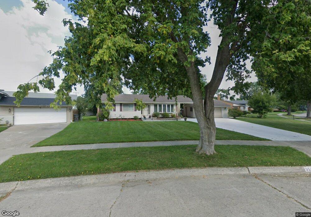
35843 Griswald St Clinton Township, MI 48035
Estimated Value: $237,000 - $267,855
3
Beds
2
Baths
1,594
Sq Ft
$162/Sq Ft
Est. Value
About This Home
This home is located at 35843 Griswald St, Clinton Township, MI 48035 and is currently estimated at $257,464, approximately $161 per square foot. 35843 Griswald St is a home located in Macomb County with nearby schools including Clintondale High School and St. Thecla Catholic School.
Ownership History
Date
Name
Owned For
Owner Type
Purchase Details
Closed on
Mar 18, 2010
Sold by
Powers Teressa
Bought by
Chatman Carol
Current Estimated Value
Purchase Details
Closed on
Jul 24, 2006
Sold by
Lemmon Brad and Lemmon Tracy
Bought by
Powers Teresa
Purchase Details
Closed on
Sep 14, 2005
Sold by
Mortgage Electronic Registration Systems
Bought by
Wells Fargo Bank Na
Purchase Details
Closed on
Mar 25, 2005
Sold by
Ryniak Robert S
Bought by
Mortgage Electronic Registration Systems
Create a Home Valuation Report for This Property
The Home Valuation Report is an in-depth analysis detailing your home's value as well as a comparison with similar homes in the area
Home Values in the Area
Average Home Value in this Area
Purchase History
| Date | Buyer | Sale Price | Title Company |
|---|---|---|---|
| Chatman Carol | $83,000 | Colonial Title Company | |
| Powers Teresa | $146,500 | Multiple | |
| Wells Fargo Bank Na | -- | -- | |
| Mortgage Electronic Registration Systems | $119,000 | -- |
Source: Public Records
Tax History Compared to Growth
Tax History
| Year | Tax Paid | Tax Assessment Tax Assessment Total Assessment is a certain percentage of the fair market value that is determined by local assessors to be the total taxable value of land and additions on the property. | Land | Improvement |
|---|---|---|---|---|
| 2025 | $4,346 | $129,300 | $0 | $0 |
| 2024 | $2,674 | $115,700 | $0 | $0 |
| 2023 | $2,442 | $105,500 | $0 | $0 |
| 2022 | $3,422 | $94,500 | $0 | $0 |
| 2021 | $3,672 | $89,900 | $0 | $0 |
| 2020 | $2,097 | $85,700 | $0 | $0 |
| 2019 | $3,188 | $76,200 | $0 | $0 |
| 2018 | $3,088 | $63,100 | $0 | $0 |
| 2017 | $3,033 | $53,300 | $11,600 | $41,700 |
| 2016 | $2,984 | $53,300 | $0 | $0 |
| 2015 | -- | $47,000 | $0 | $0 |
| 2014 | -- | $44,700 | $0 | $0 |
| 2011 | -- | $53,800 | $18,900 | $34,900 |
Source: Public Records
Map
Nearby Homes
- 35685 Griswald St
- 36027 Vaughn St
- 35501 Griswald St
- 35903 Little MacK Ave
- 35403 Seville St
- 35375 Groesbeck Hwy
- 20830 Lantz St
- 0000 Garfield
- 36069 Eaton Dr
- 20176 15 Mile Rd
- 15 Mile
- 20011 Abrahm St
- 20309 Abrahm St
- 20002 S Great Oaks Cir
- 18976 Dixie Dr
- 34606 Beaconsfield St
- 37236 Great Oaks Ct
- 19975 S Great Oaks Cir
- 20550 Vermander Ave
- 20410 Woodward St
- 35871 Vaughn St
- 35829 Griswald St
- 35885 Vaughn St
- 35815 Griswald St
- 35844 Rutherford St
- 20208 Dubois St
- 35810 Griswald St
- 35903 Vaughn St
- 35830 Rutherford St
- 35801 Griswald St
- 20222 Dubois St
- 35816 Rutherford St
- 35904 Groesbeck Hwy
- 35911 Vaughn St
- 35781 Griswald St
- 35802 Rutherford St
- 20236 Dubois St
- 35774 Griswald St
- 35912 Vaughn St
- 35919 Vaughn St