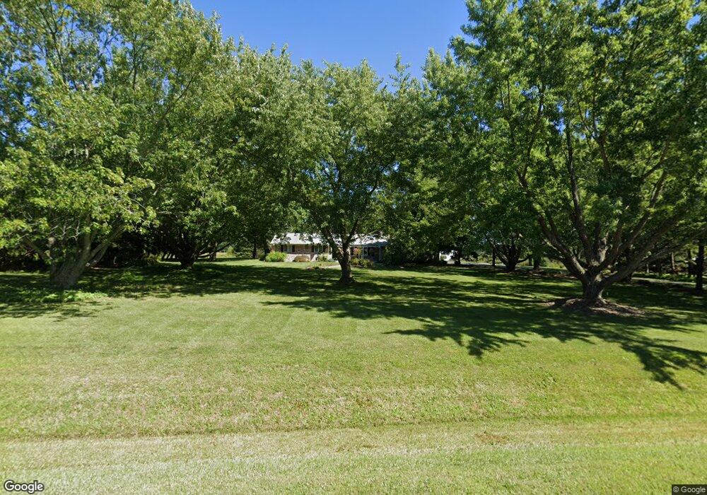
3585 Eaman Rd Benton Harbor, MI 49022
Estimated Value: $284,000 - $327,532
3
Beds
2
Baths
1,312
Sq Ft
$238/Sq Ft
Est. Value
About This Home
This home is located at 3585 Eaman Rd, Benton Harbor, MI 49022 and is currently estimated at $311,844, approximately $237 per square foot. 3585 Eaman Rd is a home located in Berrien County with nearby schools including Fair Plain Middle School and Benton Harbor High School.
Ownership History
Date
Name
Owned For
Owner Type
Purchase Details
Closed on
Jun 7, 2024
Sold by
Lynch Michael T
Bought by
Lynch Michael T and Radford Aimee M
Current Estimated Value
Purchase Details
Closed on
Jan 17, 2012
Sold by
Lynch Kelley G
Bought by
Lynch Michael E
Home Financials for this Owner
Home Financials are based on the most recent Mortgage that was taken out on this home.
Original Mortgage
$87,000
Interest Rate
3.93%
Mortgage Type
Credit Line Revolving
Purchase Details
Closed on
Mar 29, 2006
Sold by
Lynch Aimee M
Bought by
Lynch Michael and Lynch Kelley G
Purchase Details
Closed on
Mar 25, 2006
Sold by
Lynch Bryan M and Lynch Kara Ranae
Bought by
Lynch Michael and Lynch Kelley G
Create a Home Valuation Report for This Property
The Home Valuation Report is an in-depth analysis detailing your home's value as well as a comparison with similar homes in the area
Purchase History
| Date | Buyer | Sale Price | Title Company |
|---|---|---|---|
| Lynch Michael T | -- | None Listed On Document | |
| Lynch Michael E | -- | None Available | |
| Lynch Michael | -- | Mtc | |
| Lynch Michael | -- | Mtc |
Source: Public Records
Mortgage History
| Date | Status | Borrower | Loan Amount |
|---|---|---|---|
| Previous Owner | Lynch Michael E | $87,000 |
Source: Public Records
Tax History
| Year | Tax Paid | Tax Assessment Tax Assessment Total Assessment is a certain percentage of the fair market value that is determined by local assessors to be the total taxable value of land and additions on the property. | Land | Improvement |
|---|---|---|---|---|
| 2025 | $1,776 | $168,900 | $0 | $0 |
| 2024 | $1,457 | $131,800 | $0 | $0 |
| 2023 | $1,387 | $125,500 | $0 | $0 |
| 2022 | $1,321 | $116,300 | $0 | $0 |
| 2021 | $1,550 | $110,600 | $30,400 | $80,200 |
| 2020 | $1,530 | $100,000 | $0 | $0 |
| 2019 | $1,729 | $98,500 | $0 | $0 |
| 2018 | $1,689 | $89,800 | $0 | $0 |
| 2017 | $1,981 | $78,600 | $0 | $0 |
| 2016 | $1,964 | $77,000 | $0 | $0 |
| 2015 | $1,494 | $78,500 | $0 | $0 |
| 2014 | $713 | $72,400 | $0 | $0 |
Source: Public Records
Map
Nearby Homes
- 3410 N M 63
- 2031 Lynch Rd
- 0 Pier Rd Unit 8 25034288
- 991 Maple Ln
- 2462 Maple Ln
- 4327 Pier Rd
- V/L 4.17A Coloma Rd
- 2527 N M-63
- 2308 Paw Ave
- 2140 Joyce St
- 3336 Chabot Rd
- 4890 Michigan 63
- 0 Wickwire Rd
- 3080 Pershing Dr
- 694 Benson Rd
- 1582 Carolyn Dr
- 1565 N M-63 Unit 63
- 1565 N M-63 Unit 65
- 1565 N M-63 Unit 53
- 1565 N M-63 Unit 60
- 3505 Eaman Rd
- 3613 N M 63 Hwy
- 3454 Eaman Rd
- 3531 Michigan 63
- 3592 Michigan 63
- 3760 Michigan 63
- 3592 N M 63
- 3598 Michigan 63
- 3578 N M 63
- 3564 N M 63
- 3598 N M 63
- 1688 Lake Terrace
- 1684 Lake Terrace
- 1656 Lake Terrace
- 1638 Lake Terrace
- 3564 N M 63
- 3540 N M 63
- 1670 Lake Terrace
- 1651 Lake Terrace
- 1643 Lake Terrace
Your Personal Tour Guide
Ask me questions while you tour the home.