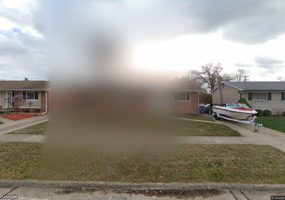
35875 Rolf St Westland, MI 48186
Estimated Value: $171,075 - $219,000
Studio
1
Bath
1,100
Sq Ft
$180/Sq Ft
Est. Value
About This Home
This home is located at 35875 Rolf St, Westland, MI 48186 and is currently estimated at $198,269, approximately $180 per square foot. 35875 Rolf St is a home located in Wayne County with nearby schools including Wildwood Elementary School, Adlai Stevenson Middle School, and John Glenn High School.
Ownership History
Date
Name
Owned For
Owner Type
Purchase Details
Closed on
Sep 9, 2016
Sold by
Marsh Wallace and Marsh Laura
Bought by
Marsh Christine A
Current Estimated Value
Purchase Details
Closed on
Aug 7, 2015
Sold by
Marsh Wallace and Marsh Christine A
Bought by
Wampler Michael and Wampler John
Purchase Details
Closed on
Jan 16, 2015
Sold by
Estate Of Ida M Marsh
Bought by
Marsh Wallace and Marsh Christine A
Create a Home Valuation Report for This Property
The Home Valuation Report is an in-depth analysis detailing your home's value as well as a comparison with similar homes in the area
Home Values in the Area
Average Home Value in this Area
Purchase History
| Date | Buyer | Sale Price | Title Company |
|---|---|---|---|
| Marsh Christine A | -- | None Available | |
| Wampler Michael | -- | First American Title Ins Co | |
| Marsh Wallace | -- | None Available |
Source: Public Records
Tax History
| Year | Tax Paid | Tax Assessment Tax Assessment Total Assessment is a certain percentage of the fair market value that is determined by local assessors to be the total taxable value of land and additions on the property. | Land | Improvement |
|---|---|---|---|---|
| 2025 | $2,220 | $88,600 | $0 | $0 |
| 2024 | $2,177 | $82,500 | $0 | $0 |
| 2023 | $2,079 | $73,900 | $0 | $0 |
| 2022 | $2,416 | $65,900 | $0 | $0 |
| 2021 | $2,641 | $63,300 | $0 | $0 |
| 2020 | $2,330 | $57,700 | $0 | $0 |
| 2019 | $2,245 | $55,800 | $0 | $0 |
| 2018 | $1,718 | $47,500 | $0 | $0 |
| 2017 | $804 | $43,800 | $0 | $0 |
| 2016 | $2,189 | $43,600 | $0 | $0 |
| 2015 | $3,131 | $38,780 | $0 | $0 |
| 2013 | $3,033 | $30,960 | $0 | $0 |
| 2012 | $1,547 | $32,780 | $0 | $0 |
Source: Public Records
Map
Nearby Homes
- 36034 Rolf St
- 35691 Fairchild St
- 35840 Oakwood Ln
- 36051 Glen St
- 36419 Avondale St
- 35564 Florane St
- 35820 Hazelwood St
- 35831 Somerset St
- 1347 S Carlson St
- 344 S Christine
- 32730 Palmer Rd
- 35239 Palmer Rd
- 00 S Newburgh Rd
- 0 S Newburgh Rd
- 1620 Regene St
- 34551 Hiveley St
- 1645 Regene St
- 1806 Treadwell St
- 648 Lansdowne Dr
- 795 N Parent St
- 35863 Rolf St
- 36003 Rolf St
- 35952 Avondale St
- 35940 Avondale St
- 35851 Rolf St
- 36004 Avondale St
- 36015 Rolf St
- 35928 Avondale St
- 36016 Avondale St
- 35868 Rolf St
- 35880 Rolf St
- 35839 Rolf St
- 35856 Rolf St
- 36025 Rolf St
- 36010 Rolf St
- 35916 Avondale St
- 36028 Avondale St
- 35840 Rolf St
- 35827 Rolf St
- 36022 Rolf St
Your Personal Tour Guide
Ask me questions while you tour the home.