3589 Laurel Branch Rd Kenbridge, VA 23944
Estimated Value: $182,923 - $222,000
3
Beds
--
Bath
1,904
Sq Ft
$106/Sq Ft
Est. Value
About This Home
This home is located at 3589 Laurel Branch Rd, Kenbridge, VA 23944 and is currently estimated at $201,731, approximately $105 per square foot. 3589 Laurel Branch Rd is a home located in Lunenburg County with nearby schools including Central High School.
Ownership History
Date
Name
Owned For
Owner Type
Purchase Details
Closed on
Mar 8, 2016
Sold by
Terra Abstract Virginia Inc Substituted
Bought by
Long Ronald E and Long Patricia A
Current Estimated Value
Home Financials for this Owner
Home Financials are based on the most recent Mortgage that was taken out on this home.
Original Mortgage
$110,000
Outstanding Balance
$87,267
Interest Rate
3.72%
Mortgage Type
New Conventional
Estimated Equity
$114,464
Create a Home Valuation Report for This Property
The Home Valuation Report is an in-depth analysis detailing your home's value as well as a comparison with similar homes in the area
Home Values in the Area
Average Home Value in this Area
Purchase History
| Date | Buyer | Sale Price | Title Company |
|---|---|---|---|
| Long Ronald E | $110,000 | None Available |
Source: Public Records
Mortgage History
| Date | Status | Borrower | Loan Amount |
|---|---|---|---|
| Open | Long Ronald E | $110,000 |
Source: Public Records
Tax History Compared to Growth
Tax History
| Year | Tax Paid | Tax Assessment Tax Assessment Total Assessment is a certain percentage of the fair market value that is determined by local assessors to be the total taxable value of land and additions on the property. | Land | Improvement |
|---|---|---|---|---|
| 2025 | $505 | $153,100 | $22,700 | $130,400 |
| 2024 | $505 | $153,100 | $22,700 | $130,400 |
| 2023 | $481 | $126,600 | $16,400 | $110,200 |
| 2022 | $481 | $126,600 | $16,400 | $110,200 |
| 2021 | $481 | $126,600 | $16,400 | $110,200 |
| 2020 | $481 | $126,600 | $16,400 | $110,200 |
| 2019 | $481 | $126,600 | $16,400 | $110,200 |
| 2018 | $481 | $126,600 | $16,400 | $110,200 |
| 2017 | $497 | $130,800 | $15,200 | $115,600 |
| 2016 | $401 | $134,800 | $15,200 | $119,600 |
| 2015 | $512 | $134,800 | $15,200 | $119,600 |
| 2014 | $512 | $134,800 | $15,200 | $119,600 |
Source: Public Records
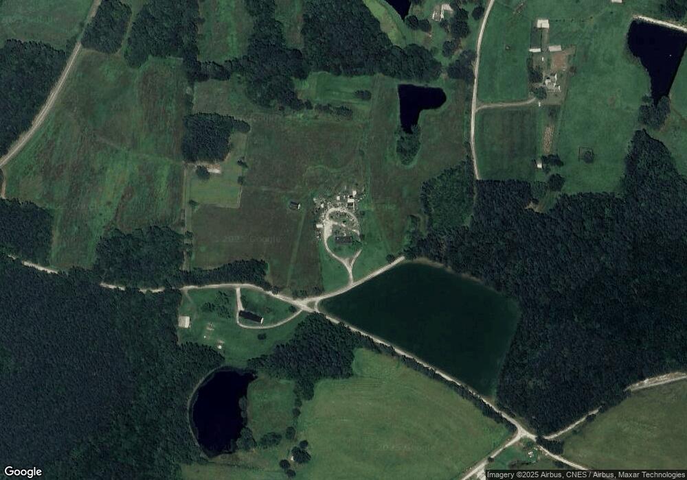
Map
Nearby Homes
- LOT 3 Oral Oaks Rd
- 1 Gary Rd
- 2533 Beech Forest Rd
- 0 New Grove Rd Unit 2513823
- 192 Pond Dr
- 0 Ellis Ln
- 1697 Flat Rock Creek Trail
- 726 S Broad St
- 46 Old Mansion Rd
- 221 Virginia St
- 1835 Oakes Rd
- 112 West St
- 225 E 6th Ave
- 305 E 5th Ave
- 0 Hinkle Rd
- 1187 Gigg Rd
- 122 Dogwood Ln
- 954 Bacon Fork Rd
- 114 Center St
- 214 Center St
- 3502 Laurel Branch Rd
- 3441 Laurel Branch Rd
- 7846 Craig Mill Rd
- 3883 Laurel Branch Rd
- 3832 Laurel Branch Rd
- 3899 Laurel Branch Rd
- 3963 Laurel Branch Rd
- 8332 Craig Mill Rd
- 4153 Laurel Branch Rd
- 8507 Craig Mill Rd
- 4241 Laurel Branch Rd
- 251 Dusty Ln
- 7758 Craig Mill Rd
- 7743 Craig Mill Rd
- 4242 Laurel Branch Rd
- 7622 Craig Mill Rd
- 7571 Craig Mill Rd
- 7537 Craig Mill Rd
- 2509 Unity Rd
- 7382 Craig Mill Rd