359 1st St Ernest, PA 15739
Estimated Value: $69,000 - $112,142
3
Beds
2
Baths
1,362
Sq Ft
$63/Sq Ft
Est. Value
About This Home
This home is located at 359 1st St, Ernest, PA 15739 and is currently estimated at $86,036, approximately $63 per square foot. 359 1st St is a home with nearby schools including Rayne Elementary School, W.A. McCreery Elementary School, and Marion Center Area Junior/Senior High School.
Ownership History
Date
Name
Owned For
Owner Type
Purchase Details
Closed on
Dec 18, 2015
Sold by
Colgan Randall D and Colgan Bobbi L
Bought by
Colgan Randall D and Colgan Terri Lynn
Current Estimated Value
Purchase Details
Closed on
Aug 24, 2006
Sold by
Smith Thomas P and Smith Linda S
Bought by
Colgan Randall D and Colgan Dobbi L
Home Financials for this Owner
Home Financials are based on the most recent Mortgage that was taken out on this home.
Original Mortgage
$63,600
Outstanding Balance
$37,831
Interest Rate
6.59%
Mortgage Type
New Conventional
Estimated Equity
$48,205
Create a Home Valuation Report for This Property
The Home Valuation Report is an in-depth analysis detailing your home's value as well as a comparison with similar homes in the area
Purchase History
| Date | Buyer | Sale Price | Title Company |
|---|---|---|---|
| Colgan Randall D | -- | None Available | |
| Colgan Randall D | $63,600 | None Available |
Source: Public Records
Mortgage History
| Date | Status | Borrower | Loan Amount |
|---|---|---|---|
| Open | Colgan Randall D | $63,600 |
Source: Public Records
Tax History
| Year | Tax Paid | Tax Assessment Tax Assessment Total Assessment is a certain percentage of the fair market value that is determined by local assessors to be the total taxable value of land and additions on the property. | Land | Improvement |
|---|---|---|---|---|
| 2025 | $1,388 | $65,100 | $10,000 | $55,100 |
| 2024 | $1,330 | $65,100 | $10,000 | $55,100 |
| 2023 | $1,268 | $65,100 | $10,000 | $55,100 |
| 2022 | $1,256 | $65,100 | $10,000 | $55,100 |
| 2021 | $1,256 | $65,100 | $10,000 | $55,100 |
| 2020 | $1,199 | $65,100 | $10,000 | $55,100 |
| 2018 | $1,121 | $65,100 | $10,000 | $55,100 |
| 2017 | $1,121 | $65,100 | $10,000 | $55,100 |
| 2016 | -- | $65,100 | $10,000 | $55,100 |
| 2015 | -- | $5,320 | $430 | $4,890 |
| 2014 | -- | $5,320 | $430 | $4,890 |
Source: Public Records
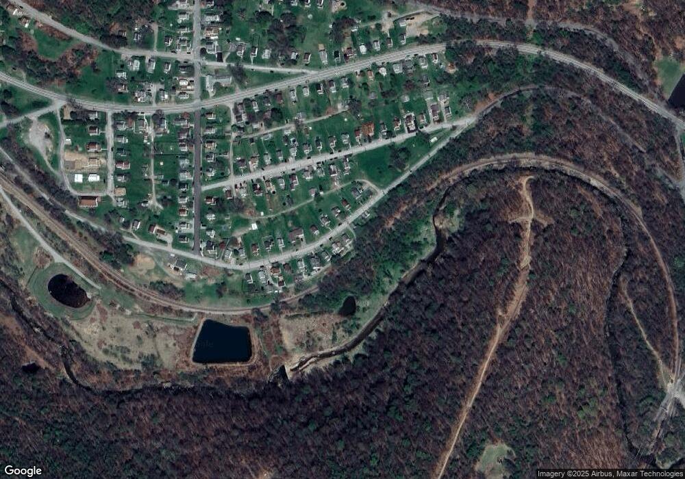
Map
Nearby Homes
- 208 Republican Ln
- 10 Frech St
- 565 Indiana Rd
- 850 Martin Rd
- 10 Spruce Ln
- 0 Sunset Dr Unit 1697645
- 1190 Old Route 119 Hwy N
- 464 Route 119 Hwy N
- 110 Lammert Rd
- 0 Hamill Rd
- 729 Fairview Ave
- 860 N 5th Ave
- 440 Edgewood Ave
- 127 Greenview Dr
- 255 E William St
- 313 N 11th St
- 530 Stannard Ave
- Lot #2 Hawk's Nest Cir
- Lot #12 Hunter's Creek
- Lot #1 Indian Hills Dr
Your Personal Tour Guide
Ask me questions while you tour the home.