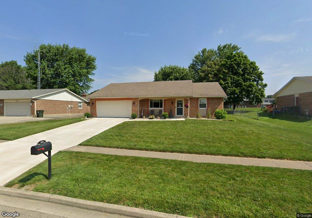
359 Birdsong Dr Vandalia, OH 45377
Estimated Value: $248,940 - $283,000
3
Beds
2
Baths
1,440
Sq Ft
$186/Sq Ft
Est. Value
About This Home
This home is located at 359 Birdsong Dr, Vandalia, OH 45377 and is currently estimated at $267,235, approximately $185 per square foot. 359 Birdsong Dr is a home located in Montgomery County with nearby schools including Demmitt Elementary School, Smith Middle School, and Butler High School.
Ownership History
Date
Name
Owned For
Owner Type
Purchase Details
Closed on
Oct 9, 2019
Sold by
Steele Linda M and Williamson Linda M
Bought by
Steele Gary D and Steele Linda M
Current Estimated Value
Purchase Details
Closed on
Nov 23, 2009
Sold by
Wolfe Robert L and Wolfe Cathy J
Bought by
Williamson Linda M
Home Financials for this Owner
Home Financials are based on the most recent Mortgage that was taken out on this home.
Original Mortgage
$90,000
Interest Rate
4.95%
Mortgage Type
New Conventional
Purchase Details
Closed on
Nov 14, 2001
Sold by
Reeves Lori L
Bought by
Wolfe Robert L
Home Financials for this Owner
Home Financials are based on the most recent Mortgage that was taken out on this home.
Original Mortgage
$40,000
Interest Rate
6.6%
Create a Home Valuation Report for This Property
The Home Valuation Report is an in-depth analysis detailing your home's value as well as a comparison with similar homes in the area
Home Values in the Area
Average Home Value in this Area
Purchase History
| Date | Buyer | Sale Price | Title Company |
|---|---|---|---|
| Steele Gary D | -- | None Available | |
| Williamson Linda M | $130,800 | Attorney | |
| Wolfe Robert L | -- | Equity Land Title Agency Inc |
Source: Public Records
Mortgage History
| Date | Status | Borrower | Loan Amount |
|---|---|---|---|
| Previous Owner | Williamson Linda M | $90,000 | |
| Previous Owner | Wolfe Robert L | $40,000 |
Source: Public Records
Tax History Compared to Growth
Tax History
| Year | Tax Paid | Tax Assessment Tax Assessment Total Assessment is a certain percentage of the fair market value that is determined by local assessors to be the total taxable value of land and additions on the property. | Land | Improvement |
|---|---|---|---|---|
| 2024 | $3,013 | $66,830 | $14,760 | $52,070 |
| 2023 | $3,013 | $66,830 | $14,760 | $52,070 |
| 2022 | $3,105 | $48,080 | $10,620 | $37,460 |
| 2021 | $3,108 | $48,080 | $10,620 | $37,460 |
| 2020 | $3,100 | $48,080 | $10,620 | $37,460 |
| 2019 | $3,163 | $45,000 | $9,560 | $35,440 |
| 2018 | $3,169 | $45,000 | $9,560 | $35,440 |
| 2017 | $3,121 | $44,650 | $9,560 | $35,090 |
| 2016 | $2,823 | $39,670 | $10,620 | $29,050 |
| 2015 | $2,788 | $39,670 | $10,620 | $29,050 |
| 2014 | $2,788 | $39,670 | $10,620 | $29,050 |
| 2012 | -- | $42,740 | $11,780 | $30,960 |
Source: Public Records
Map
Nearby Homes
- 461 Poplar Grove Dr
- 416 Bent Twig Dr
- 469 Farrell Rd
- 592 O'Hara Ct
- 912 Kenbrook Dr
- 246 Crest Hill Ave
- 521 Rader Dr
- 436 Rader Dr
- 770 Deer Creek Dr
- 775 Cassel Creek Dr
- 520 Buttercup Ave
- 860 Helke Rd
- 844 Kenneth Ave Unit 846
- 1510 Ash Ridge Ct
- 1631 Ashley Place
- 32 Gabriel St
- 925 Robinette Ave
- 485 Pilot Point Unit 1-301
- 25 Long St
- 475 Pilot Point 1-300
- 367 Birdsong Dr
- 351 Birdsong Dr
- 434 Poplar Grove Dr
- 416 Poplar Grove Dr
- 375 Birdsong Dr
- 341 Birdsong Dr
- 1105 Glenapple St
- 348 Birdsong Dr
- 444 Poplar Grove Dr
- 408 Poplar Grove Dr
- 381 Birdsong Dr
- 333 Birdsong Dr
- 1115 Glenapple St
- 452 Poplar Grove Dr
- 378 Birdsong Dr
- 1110 Bent Twig Dr
- 425 Poplar Grove Dr
- 433 Poplar Grove Dr
- 415 Poplar Grove Dr
- 443 Poplar Grove Dr