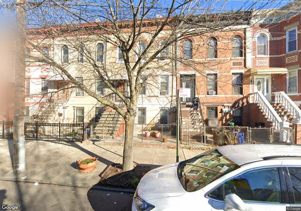
359 Bradford St Brooklyn, NY 11207
East New York NeighborhoodEstimated Value: $917,402 - $1,194,000
--
Bed
--
Bath
2,760
Sq Ft
$369/Sq Ft
Est. Value
About This Home
This home is located at 359 Bradford St, Brooklyn, NY 11207 and is currently estimated at $1,018,851, approximately $369 per square foot. 359 Bradford St is a home located in Kings County with nearby schools including P.S. 149 Danny Kaye, J.H.S 292 Margaret S. Douglas, and Grace Christian Educational.
Ownership History
Date
Name
Owned For
Owner Type
Purchase Details
Closed on
May 19, 2014
Sold by
Carty Hazel
Bought by
Carty Brian D and Carty Dianne G
Current Estimated Value
Create a Home Valuation Report for This Property
The Home Valuation Report is an in-depth analysis detailing your home's value as well as a comparison with similar homes in the area
Home Values in the Area
Average Home Value in this Area
Purchase History
| Date | Buyer | Sale Price | Title Company |
|---|---|---|---|
| Carty Brian D | -- | -- |
Source: Public Records
Tax History Compared to Growth
Tax History
| Year | Tax Paid | Tax Assessment Tax Assessment Total Assessment is a certain percentage of the fair market value that is determined by local assessors to be the total taxable value of land and additions on the property. | Land | Improvement |
|---|---|---|---|---|
| 2025 | $2,489 | $74,700 | $20,040 | $54,660 |
| 2024 | $2,489 | $60,600 | $20,040 | $40,560 |
| 2023 | $2,364 | $60,000 | $20,040 | $39,960 |
| 2022 | $2,173 | $52,260 | $20,040 | $32,220 |
| 2021 | $2,154 | $41,940 | $20,040 | $21,900 |
| 2020 | $1,070 | $42,540 | $20,040 | $22,500 |
| 2019 | $2,111 | $42,480 | $20,040 | $22,440 |
| 2018 | $1,917 | $10,866 | $7,422 | $3,444 |
| 2017 | $1,793 | $10,268 | $6,351 | $3,917 |
| 2016 | $1,630 | $9,703 | $5,447 | $4,256 |
| 2015 | $949 | $9,703 | $5,701 | $4,002 |
| 2014 | $949 | $9,578 | $5,867 | $3,711 |
Source: Public Records
Map
Nearby Homes
- 440 Miller Ave
- 443 Miller Ave
- 358 van Siclen Ave
- 342 Wyona St
- 346 van Siclen Ave
- 459 Belmont Ave
- 459 Miller Ave
- 402 van Siclen Ave
- 412 Bradford St
- 419 van Siclen Ave
- 439 Vermont St
- 412 Hendrix St
- 2210 Pitkin Ave
- 667 Sutter Ave
- 663 Sutter Ave
- 774 Blake Ave
- 563 Belmont Ave
- 477 Vermont St
- 317 Pennsylvania Ave
- 297 Pennsylvania Ave
- 357 Bradford St
- 361 Bradford St
- 363 Bradford St
- 355 Bradford St
- 353 Bradford St
- 351 Bradford St
- 428 Miller Ave
- 349 Bradford St
- 422 Miller Ave
- 420 Miller Ave
- 347 Bradford St
- 418 Miller Ave
- 375 Bradford St
- 345 Bradford St
- 416 Miller Ave
- 748 Sutter Ave Unit 4
- 414 Miller Ave
- 362 Bradford St
- 360 Bradford St
- 343 Bradford St