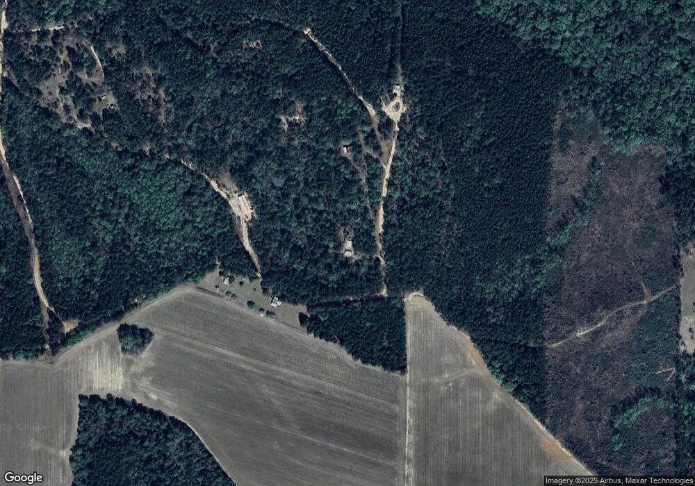
359 Cabin Trail Surrency, GA 31563
Estimated Value: $90,101 - $131,000
2
Beds
1
Bath
720
Sq Ft
$147/Sq Ft
Est. Value
About This Home
This home is located at 359 Cabin Trail, Surrency, GA 31563 and is currently estimated at $105,525, approximately $146 per square foot. 359 Cabin Trail is a home.
Ownership History
Date
Name
Owned For
Owner Type
Purchase Details
Closed on
Jul 13, 2021
Sold by
Dutka Gary M
Bought by
Constantine Abbey S
Current Estimated Value
Purchase Details
Closed on
Feb 20, 2013
Sold by
Investment Property Exchan
Bought by
Dutka Gary M and Dutka Candice J
Home Financials for this Owner
Home Financials are based on the most recent Mortgage that was taken out on this home.
Original Mortgage
$48,000
Interest Rate
3.43%
Mortgage Type
New Conventional
Purchase Details
Closed on
Aug 25, 2004
Bought by
Schmid Shelli L
Create a Home Valuation Report for This Property
The Home Valuation Report is an in-depth analysis detailing your home's value as well as a comparison with similar homes in the area
Purchase History
| Date | Buyer | Sale Price | Title Company |
|---|---|---|---|
| Constantine Abbey S | $69,000 | -- | |
| Dutka Gary M | $60,000 | -- | |
| Schmid Shelli L | $13,000 | -- |
Source: Public Records
Mortgage History
| Date | Status | Borrower | Loan Amount |
|---|---|---|---|
| Previous Owner | Dutka Gary M | $48,000 |
Source: Public Records
Tax History
| Year | Tax Paid | Tax Assessment Tax Assessment Total Assessment is a certain percentage of the fair market value that is determined by local assessors to be the total taxable value of land and additions on the property. | Land | Improvement |
|---|---|---|---|---|
| 2025 | $85 | $17,480 | $7,640 | $9,840 |
| 2024 | $85 | $24,298 | $9,960 | $14,338 |
| 2023 | $351 | $24,336 | $9,998 | $14,338 |
| 2022 | $402 | $23,108 | $9,998 | $13,110 |
| 2021 | $597 | $23,108 | $9,998 | $13,110 |
| 2020 | $620 | $23,108 | $9,998 | $13,110 |
| 2019 | $632 | $23,108 | $9,998 | $13,110 |
| 2018 | $636 | $22,830 | $9,998 | $12,832 |
| 2017 | $636 | $22,830 | $9,998 | $12,832 |
| 2016 | $643 | $23,095 | $10,263 | $12,832 |
| 2015 | $930 | $33,358 | $20,526 | $12,832 |
| 2014 | $645 | $23,095 | $10,263 | $12,832 |
| 2013 | -- | $23,095 | $10,263 | $12,832 |
Source: Public Records
Map
Nearby Homes
- 0 Lee Woods Rd Unit 18062646
- 286 Carter Bight Landing Rd
- 2286 Carter Bight Landing Rd
- 2264 Carter Bight Landing Rd
- 315 Getaway Ln
- 0 Lee Woods Rd Unit 11355226
- 163 High Bluff Rd
- 0 Mills Rd
- 1014 Jiggs Harden Rd
- 0 Luther Surrency Road Cir
- 963 Oak Grove Rd
- 965 Oquinn Loop
- 0 O'Quinn Loop
- 0 Oquinn Loop
- 468 Half Moon Lake Rd
- Lot 2 Brentwood Rd
- Tract 4 Brentwood Rd
- Lot 1 Brentwood Rd
- 1054 Penny Morris Rd
- 02 Penny Morris Rd
- 401 Cabin Trail
- 414 Hershel Tillman Rd
- 6176 Fire Tower Rd
- 914 Norris Rd
- 470 Curtis Tillman Rd
- 250 Murphy Rd
- 6363 Fire Tower Rd
- 938 Norris Rd
- 268 Kicklighter Rd
- 14786 Ten Mile Rd
- 302 Curtis Tillman Rd
- 927 Norris Rd
- 14638 Ten Mile Rd
- 14638 10 Mile Rd
- 13 Murphy Rd
- 6545 Fire Tower Rd
- 6376 Fire Tower Rd
- 716 Haynes Rd
- 765 Norris Rd
