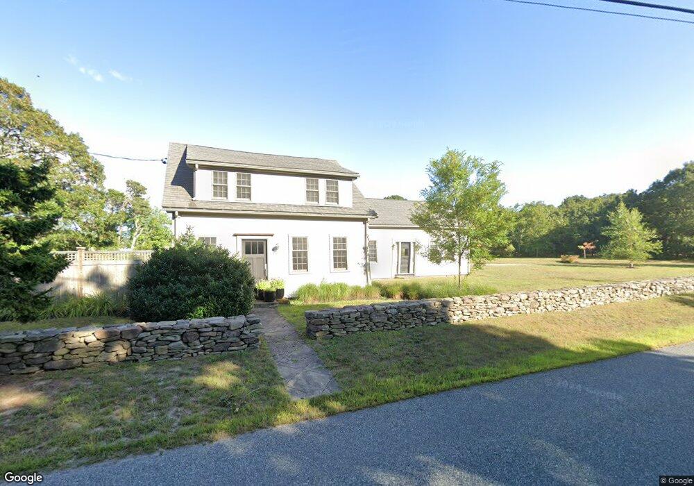
359 Center St Dennis Port, MA 02639
Dennis Port NeighborhoodEstimated Value: $943,000 - $1,212,545
4
Beds
3
Baths
2,316
Sq Ft
$458/Sq Ft
Est. Value
About This Home
This home is located at 359 Center St, Dennis Port, MA 02639 and is currently estimated at $1,059,636, approximately $457 per square foot. 359 Center St is a home located in Barnstable County with nearby schools including Dennis-Yarmouth Regional High School and St. Pius X. School.
Ownership History
Date
Name
Owned For
Owner Type
Purchase Details
Closed on
Feb 3, 1995
Sold by
Meade Mary G and Meade Clyde K
Bought by
Eosco Christine A
Current Estimated Value
Create a Home Valuation Report for This Property
The Home Valuation Report is an in-depth analysis detailing your home's value as well as a comparison with similar homes in the area
Home Values in the Area
Average Home Value in this Area
Purchase History
| Date | Buyer | Sale Price | Title Company |
|---|---|---|---|
| Eosco Christine A | $122,500 | -- |
Source: Public Records
Mortgage History
| Date | Status | Borrower | Loan Amount |
|---|---|---|---|
| Open | Eosco Christine A | $53,700 | |
| Open | Eosco Christine A | $286,500 | |
| Closed | Eosco Christine A | $286,000 | |
| Closed | Eosco Christine A | $8,200 |
Source: Public Records
Tax History Compared to Growth
Tax History
| Year | Tax Paid | Tax Assessment Tax Assessment Total Assessment is a certain percentage of the fair market value that is determined by local assessors to be the total taxable value of land and additions on the property. | Land | Improvement |
|---|---|---|---|---|
| 2025 | $3,933 | $908,300 | $383,800 | $524,500 |
| 2024 | $3,838 | $874,200 | $369,100 | $505,100 |
| 2023 | $3,719 | $796,400 | $335,500 | $460,900 |
| 2022 | $3,652 | $652,100 | $302,300 | $349,800 |
| 2021 | $2,198 | $637,500 | $296,300 | $341,200 |
| 2020 | $3,858 | $632,400 | $296,300 | $336,100 |
| 2019 | $3,943 | $639,100 | $290,700 | $348,400 |
| 2018 | $3,441 | $542,800 | $232,200 | $310,600 |
| 2017 | $3,398 | $552,500 | $232,200 | $320,300 |
| 2016 | $3,141 | $481,000 | $251,400 | $229,600 |
| 2015 | $3,078 | $481,000 | $251,400 | $229,600 |
| 2014 | $2,901 | $456,900 | $251,400 | $205,500 |
Source: Public Records
Map
Nearby Homes
- 171 Searsville Rd
- 360 Center St
- 116 Searsville Rd
- 20 Aunt Debbys Rd
- 18 Rangeley Ln
- 18 Rangely Ln
- 537 Depot St
- 24 Indian Trail
- 29 Highland St
- 418 Depot St
- 78 Upper County Rd Unit A&B
- 78 Upper County Rd
- 11 Lane Rd
- 3 Jennifer Ln
- 31 Duck Pond Rd
- 166 Upper County Rd Unit 1-4
- 9 Country Ln
- 91 Depot Rd W
- 12 Candlewood Ln Unit 2-9
- 268 Main St
- 345 Center St
- 361 Center St
- 361 Center St Unit 6
- 361 Center St Unit 5
- 361 Center St Unit 4
- 361 Center St Unit 3
- 361 Center St Unit 2
- 363 Center St
- 17 Gosling Ln
- 19 Gosling Ln
- 30 Cedar Ln
- 331 Center St
- 21 Whistler Ln
- 15 Gosling Ln
- 18 Cedar Ln
- 16 Gosling Ln
- 14 Cedar Ln
- 176 Searsville Rd
- 2 Cedar Ln
- 9 Gosling Ln