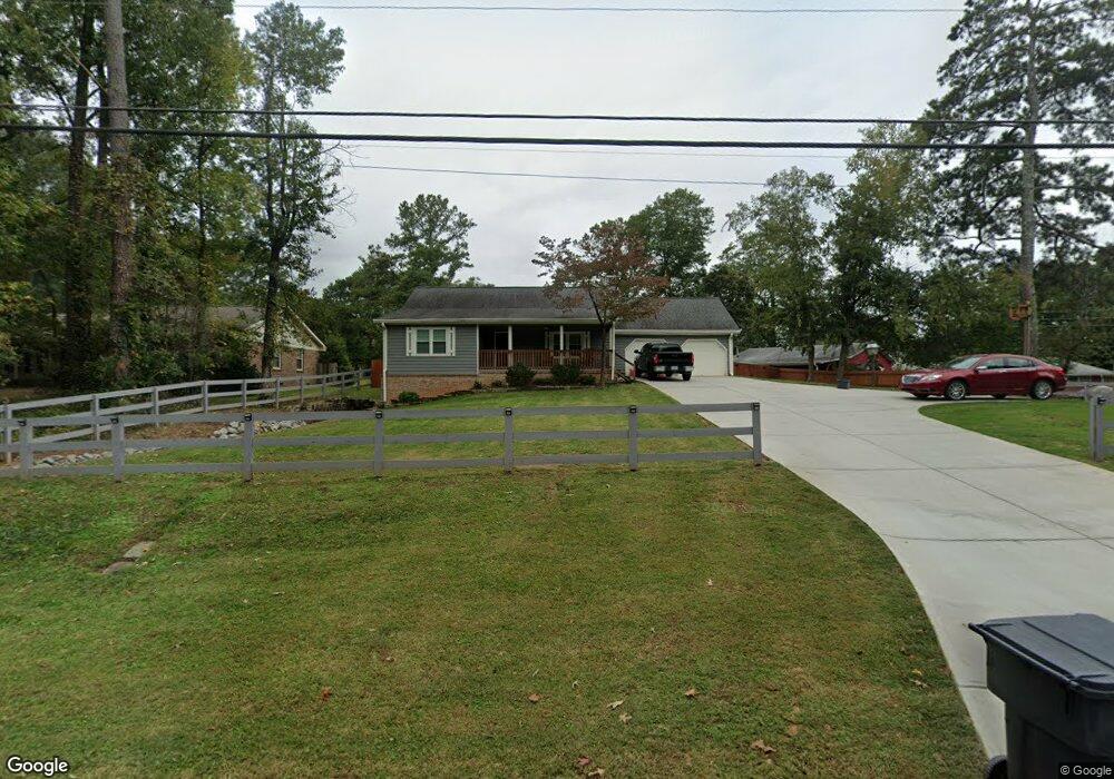
359 Cole Rd SW Lilburn, GA 30047
Estimated Value: $350,733 - $384,000
3
Beds
2
Baths
1,723
Sq Ft
$213/Sq Ft
Est. Value
About This Home
This home is located at 359 Cole Rd SW, Lilburn, GA 30047 and is currently estimated at $367,183, approximately $213 per square foot. 359 Cole Rd SW is a home located in Gwinnett County with nearby schools including Camp Creek Elementary School, Trickum Middle School, and Parkview High School.
Ownership History
Date
Name
Owned For
Owner Type
Purchase Details
Closed on
Nov 22, 2013
Sold by
Donahue Dennis
Bought by
Hess Anthony
Current Estimated Value
Home Financials for this Owner
Home Financials are based on the most recent Mortgage that was taken out on this home.
Original Mortgage
$121,125
Outstanding Balance
$89,800
Interest Rate
4.16%
Mortgage Type
New Conventional
Estimated Equity
$277,383
Purchase Details
Closed on
Sep 28, 2001
Sold by
Ivy James D
Bought by
Donahue Dennis
Home Financials for this Owner
Home Financials are based on the most recent Mortgage that was taken out on this home.
Original Mortgage
$128,250
Interest Rate
6%
Mortgage Type
New Conventional
Create a Home Valuation Report for This Property
The Home Valuation Report is an in-depth analysis detailing your home's value as well as a comparison with similar homes in the area
Home Values in the Area
Average Home Value in this Area
Purchase History
| Date | Buyer | Sale Price | Title Company |
|---|---|---|---|
| Hess Anthony | $127,500 | -- | |
| Donahue Dennis | $135,000 | -- |
Source: Public Records
Mortgage History
| Date | Status | Borrower | Loan Amount |
|---|---|---|---|
| Open | Hess Anthony | $121,125 | |
| Previous Owner | Donahue Dennis | $128,250 |
Source: Public Records
Tax History Compared to Growth
Tax History
| Year | Tax Paid | Tax Assessment Tax Assessment Total Assessment is a certain percentage of the fair market value that is determined by local assessors to be the total taxable value of land and additions on the property. | Land | Improvement |
|---|---|---|---|---|
| 2025 | $2,812 | $123,880 | $30,000 | $93,880 |
| 2024 | $2,813 | $118,040 | $30,000 | $88,040 |
| 2023 | $2,813 | $126,840 | $26,000 | $100,840 |
| 2022 | $2,614 | $108,480 | $26,000 | $82,480 |
| 2021 | $2,119 | $81,800 | $16,800 | $65,000 |
| 2020 | $2,690 | $81,800 | $16,800 | $65,000 |
| 2019 | $2,597 | $78,480 | $16,800 | $61,680 |
| 2018 | $2,150 | $61,040 | $12,800 | $48,240 |
| 2016 | $1,564 | $38,600 | $12,680 | $25,920 |
| 2015 | $1,578 | $38,600 | $12,680 | $25,920 |
| 2014 | -- | $38,600 | $12,680 | $25,920 |
Source: Public Records
Map
Nearby Homes
- 311 Arbor Point Ct SW
- 562 Gregg Dr SW
- 248 Kettlewood Dr SW
- 4983 Arcado Rd SW
- 4989 Woodfall Dr SW
- 4909 Woodfall Dr SW
- 5041 Cricket Ct SW
- 4814 Delgado Dr SW
- 4627 Nantucket Dr SW
- 4879 Joy Ln SW
- 4740 Nantucket Dr SW
- 4704 Arrowhead Trail SW
- 551 Briggs Cir SW
- 4872 Arrowhead Trail West SW Unit 1
- 4567 Town Crier Rd SW
- 146 King David Dr SW
- Oxford Plan at The Preserve at Killian Hill - Townhomes
- 4582 Warrior Trail SW
- 369 Cole Rd SW
- 369 Cole Dr SW
- 4830 Arcado Rd SW
- 4810 Lilburn Stone Mountain Rd
- 379 Cole Rd SW
- 4840 Arcado Rd SW
- 378 Cole Dr SW
- 4810 Arcado Rd SW
- 368 Cole Rd SW
- 378 Cole Rd SW Unit 3
- 358 Cole Dr SW
- 358 Cole Rd SW
- 389 Cole Rd SW
- 4850 Stone Mountain Hwy
- 4850 Lilburn Stone Mountain Rd SW
- 4840 Lilburn Stone Mountain Rd SW
- 348 Cole Rd SW
- 0 Camp Creek Rd Unit 3258036
- 0 Camp Creek Rd Unit 8097056
- 0 Camp Creek Rd Unit 8543218