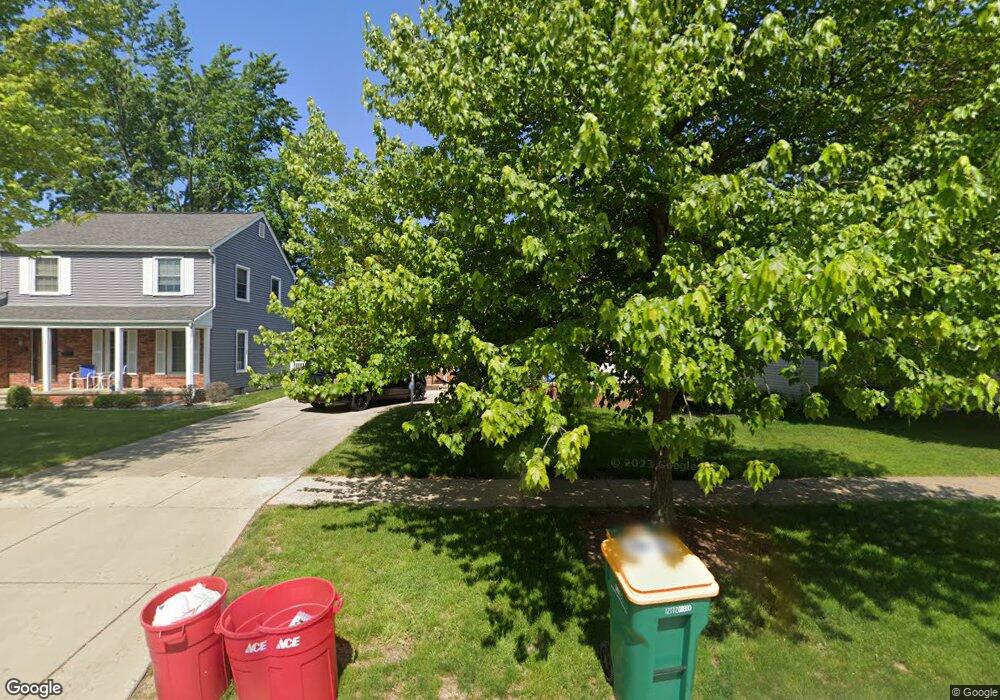
359 Cranbrook Blvd Monroe, MI 48162
Northwest Monroe NeighborhoodEstimated Value: $270,042 - $296,000
3
Beds
2
Baths
1,364
Sq Ft
$210/Sq Ft
Est. Value
About This Home
This home is located at 359 Cranbrook Blvd, Monroe, MI 48162 and is currently estimated at $286,011, approximately $209 per square foot. 359 Cranbrook Blvd is a home located in Monroe County with nearby schools including Monroe High School, St Mary's Catholic Elementary School, and St Michaels Catholic Elementary School.
Ownership History
Date
Name
Owned For
Owner Type
Purchase Details
Closed on
Mar 18, 2022
Sold by
Craig Williams James
Bought by
Williams James Craig and Williams Lillia
Current Estimated Value
Home Financials for this Owner
Home Financials are based on the most recent Mortgage that was taken out on this home.
Original Mortgage
$210,000
Outstanding Balance
$196,391
Interest Rate
4.16%
Mortgage Type
VA
Estimated Equity
$89,620
Create a Home Valuation Report for This Property
The Home Valuation Report is an in-depth analysis detailing your home's value as well as a comparison with similar homes in the area
Home Values in the Area
Average Home Value in this Area
Purchase History
| Date | Buyer | Sale Price | Title Company |
|---|---|---|---|
| Williams James Craig | -- | None Listed On Document |
Source: Public Records
Mortgage History
| Date | Status | Borrower | Loan Amount |
|---|---|---|---|
| Open | Williams James Craig | $210,000 |
Source: Public Records
Tax History
| Year | Tax Paid | Tax Assessment Tax Assessment Total Assessment is a certain percentage of the fair market value that is determined by local assessors to be the total taxable value of land and additions on the property. | Land | Improvement |
|---|---|---|---|---|
| 2025 | $2,863 | $139,900 | $139,900 | $0 |
| 2024 | $2,733 | $132,200 | $0 | $0 |
| 2023 | $3,490 | $103,300 | $0 | $0 |
| 2022 | $3,490 | $103,300 | $0 | $0 |
| 2021 | $3,362 | $92,400 | $0 | $0 |
| 2020 | $3,132 | $84,170 | $0 | $0 |
| 2019 | $2,968 | $84,170 | $0 | $0 |
| 2018 | $2,883 | $81,280 | $0 | $0 |
| 2017 | $2,824 | $81,280 | $0 | $0 |
| 2016 | $2,755 | $80,170 | $0 | $0 |
| 2015 | $2,643 | $71,090 | $0 | $0 |
| 2014 | $2,643 | $71,090 | $0 | $0 |
| 2013 | -- | $70,490 | $0 | $0 |
Source: Public Records
Map
Nearby Homes
- 381 Armitage Dr
- 510 Ave de Lafayette
- 202 Orleans Ave
- 720 Saint Anne Ln
- 568 Rose Crest Blvd
- 664 Central Park Blvd
- 734 Central Park Blvd
- 0 S Custer Lot B Rd
- 0 S Custer Lot A Rd
- 0 S Custer Lot C Rd
- 540 S Concetta Common
- 1910 S Custer Rd
- 2706 S Custer Rd
- 1724 S Custer Rd
- 1851 Erie St
- 1703 S Custer Rd
- 1015 Donnalee Dr
- 2742 S Custer Rd
- 0 N Telegraph Rd Unit 31361948
- 0 N Telegraph Rd Unit 20230102531
- 365 Cranbrook Blvd
- 353 Cranbrook Blvd
- 371 Cranbrook Blvd
- 358 Crampton Dr
- 352 Crampton Dr
- 346 Crampton Dr
- 377 Cranbrook Blvd
- 364 Crampton Dr
- 343 Cranbrook Blvd
- 340 Crampton Dr
- 360 Cranbrook Blvd
- 354 Cranbrook Blvd
- 368 Cranbrook Blvd
- 370 Crampton Dr
- 348 Cranbrook Blvd
- 334 Crampton Dr
- 383 Cranbrook Blvd
- 374 Cranbrook Blvd
- 337 Cranbrook Blvd
- 344 Cranbrook Blvd
Your Personal Tour Guide
Ask me questions while you tour the home.