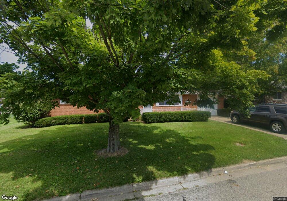
359 Curtis Dr Wilmington, OH 45177
Estimated Value: $185,124 - $236,000
2
Beds
2
Baths
1,334
Sq Ft
$152/Sq Ft
Est. Value
About This Home
This home is located at 359 Curtis Dr, Wilmington, OH 45177 and is currently estimated at $203,281, approximately $152 per square foot. 359 Curtis Dr is a home located in Clinton County with nearby schools including East End Elementary School, Denver Place Elementary School, and Roy E. Holmes Elementary School.
Ownership History
Date
Name
Owned For
Owner Type
Purchase Details
Closed on
Aug 23, 2023
Sold by
Fricke Steve
Bought by
Jeffery Tara
Current Estimated Value
Home Financials for this Owner
Home Financials are based on the most recent Mortgage that was taken out on this home.
Original Mortgage
$65,000
Outstanding Balance
$63,511
Interest Rate
6.78%
Mortgage Type
New Conventional
Estimated Equity
$139,770
Purchase Details
Closed on
Oct 18, 1996
Bought by
Bailey Charles R and Bailey Carol E
Create a Home Valuation Report for This Property
The Home Valuation Report is an in-depth analysis detailing your home's value as well as a comparison with similar homes in the area
Home Values in the Area
Average Home Value in this Area
Purchase History
| Date | Buyer | Sale Price | Title Company |
|---|---|---|---|
| Jeffery Tara | $166 | None Listed On Document | |
| Bailey Charles R | $41,800 | -- |
Source: Public Records
Mortgage History
| Date | Status | Borrower | Loan Amount |
|---|---|---|---|
| Open | Jeffery Tara | $65,000 |
Source: Public Records
Tax History Compared to Growth
Tax History
| Year | Tax Paid | Tax Assessment Tax Assessment Total Assessment is a certain percentage of the fair market value that is determined by local assessors to be the total taxable value of land and additions on the property. | Land | Improvement |
|---|---|---|---|---|
| 2024 | $1,403 | $51,390 | $9,070 | $42,320 |
| 2023 | $1,403 | $51,390 | $9,070 | $42,320 |
| 2022 | $982 | $36,080 | $8,220 | $27,860 |
| 2021 | $934 | $36,080 | $8,220 | $27,860 |
| 2020 | $934 | $36,080 | $8,220 | $27,860 |
| 2019 | $883 | $32,360 | $9,360 | $23,000 |
| 2018 | $892 | $32,360 | $9,360 | $23,000 |
| 2017 | $866 | $32,360 | $9,360 | $23,000 |
| 2016 | $833 | $31,190 | $9,100 | $22,090 |
| 2015 | $815 | $31,190 | $9,100 | $22,090 |
| 2013 | $858 | $32,100 | $9,100 | $23,000 |
Source: Public Records
Map
Nearby Homes
- 0 Mccoy Rd Unit 1761017
- 215 Leyland Park Dr Unit 1C
- 619 Hiatt Ave
- 813 N Lincoln St
- 719 Hiatt Ave
- 320 Lorish Ave
- Edmon Plan at Creekview
- Elder Plan at Creekview
- Sullivan Plan at Creekview
- Cabral Plan at Creekview
- Elm Plan at Creekview
- Pine Plan at Creekview
- 793 Hiatt Ave
- 353 Hiatt Ave
- 26 E Kentucky Ave
- 165 Lorish Ave
- 0 S St Rt 73 Unit 1827681
- 31 Fairland Ave
- 1005 N South St
- 987 N South St
- 324 Leyland Park Dr Unit 21A
- 341 Curtis Dr
- 375 Curtis Dr
- 326 Leyland Park Dr Unit 21B
- 344 Curtis Dr
- 364 Curtis Dr
- 323 Curtis Dr
- 334 Leyland Park Dr
- 332 Leyland Park Dr Unit 22B
- 330 Leyland Park Dr
- 330 Leyland Park Dr Unit 22A
- 326 Curtis Dr
- 395 Curtis Dr
- 382 Curtis Dr
- 311 Leyland Park Dr Unit 19B
- 307 Leyland Park Dr
- 346 Leyland Park Dr
- 331 Leyland Park Dr
- 308 Curtis Dr
- 333 Leyland Park Dr Unit 20B