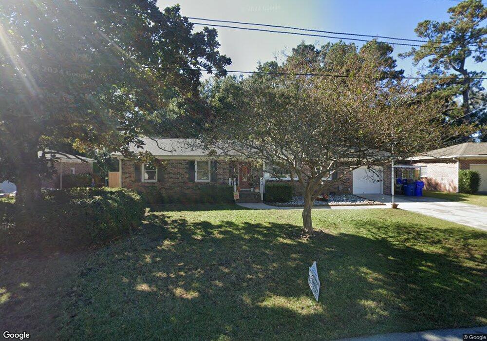
359 Curtiss Ave Charleston, SC 29407
Dupont Station NeighborhoodEstimated Value: $426,000 - $549,000
3
Beds
2
Baths
1,552
Sq Ft
$318/Sq Ft
Est. Value
About This Home
This home is located at 359 Curtiss Ave, Charleston, SC 29407 and is currently estimated at $493,138, approximately $317 per square foot. 359 Curtiss Ave is a home located in Charleston County with nearby schools including Stono Park Elementary School, West Ashley High School, and Carolina Voyager Charter.
Ownership History
Date
Name
Owned For
Owner Type
Purchase Details
Closed on
Jul 26, 2016
Sold by
Doose John C
Bought by
Wham Justin J
Current Estimated Value
Home Financials for this Owner
Home Financials are based on the most recent Mortgage that was taken out on this home.
Original Mortgage
$200,000
Outstanding Balance
$160,192
Interest Rate
3.6%
Mortgage Type
Seller Take Back
Estimated Equity
$332,946
Purchase Details
Closed on
Jun 2, 2006
Sold by
Doose John C
Bought by
Doose John C and The John C Doose Revocable Living Trust
Create a Home Valuation Report for This Property
The Home Valuation Report is an in-depth analysis detailing your home's value as well as a comparison with similar homes in the area
Home Values in the Area
Average Home Value in this Area
Purchase History
| Date | Buyer | Sale Price | Title Company |
|---|---|---|---|
| Wham Justin J | $200,000 | -- | |
| Doose John C | -- | None Available |
Source: Public Records
Mortgage History
| Date | Status | Borrower | Loan Amount |
|---|---|---|---|
| Open | Wham Justin J | $200,000 |
Source: Public Records
Tax History
| Year | Tax Paid | Tax Assessment Tax Assessment Total Assessment is a certain percentage of the fair market value that is determined by local assessors to be the total taxable value of land and additions on the property. | Land | Improvement |
|---|---|---|---|---|
| 2024 | $2,434 | $10,070 | $0 | $0 |
| 2023 | $2,181 | $10,070 | $0 | $0 |
| 2022 | $2,046 | $10,070 | $0 | $0 |
| 2021 | $2,080 | $10,070 | $0 | $0 |
| 2020 | $2,084 | $10,070 | $0 | $0 |
| 2019 | $1,828 | $8,760 | $0 | $0 |
| 2017 | $3,437 | $12,000 | $0 | $0 |
| 2016 | $805 | $6,560 | $0 | $0 |
| 2015 | $794 | $6,560 | $0 | $0 |
| 2014 | $843 | $0 | $0 | $0 |
| 2011 | -- | $0 | $0 | $0 |
Source: Public Records
Map
Nearby Homes
- 1910/1912 Piper Dr
- 1949 Swift Ave
- 227 Stinson Dr
- 412 Stinson Dr
- 1910 Piper Dr
- 507 Stinson Dr Unit 8d
- 198 River Breeze Dr Unit S198
- 233 Lands End Dr Unit 77
- 166 River Breeze Dr Unit P166
- 510 Stinson Dr
- 136 River Breeze Dr Unit M136
- 381 Arlington Dr
- 447 Geddes Ave
- 3006 S Shore Dr
- 2045 Rondo St Unit B
- 3020 S Shore Dr
- 2073 Rondo St Unit H
- 516 Arlington Dr Unit B5
- 1866 Capri Dr
- 2138 Clayton St
- 355 Curtiss Ave
- 361 Curtiss Ave
- 334 Swift Ave
- 340 Swift Ave
- 332 Swift Ave
- 351 Curtiss Ave
- 365 Curtiss Ave
- 370 Curtiss Ave
- 374 Curtiss Ave
- 344 Swift Ave
- 330 Swift Ave
- 364 Curtiss Ave
- 2003 Piper Dr
- 349 Curtiss Ave
- 350 Swift Ave
- 326 Swift Ave
- 360 Curtiss Ave
- 355 Douglass Ave
- 335 Swift Ave
- 331 Swift Ave
Your Personal Tour Guide
Ask me questions while you tour the home.