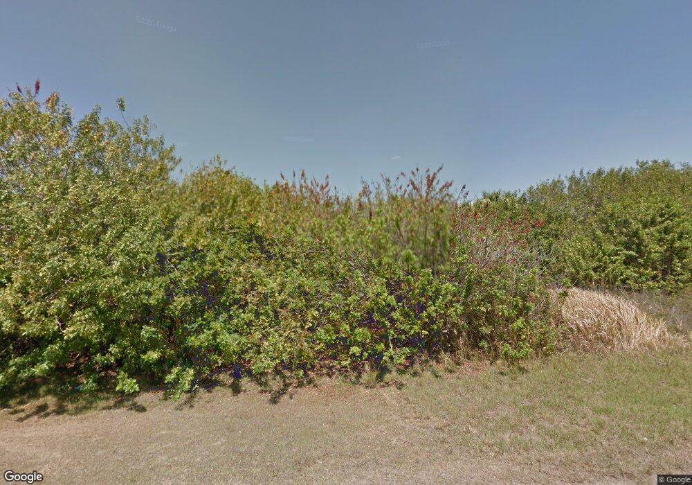
359 Denver Dr Port Charlotte, FL 33954
Estimated Value: $36,000 - $390,000
--
Bed
--
Bath
--
Sq Ft
10,019
Sq Ft Lot
About This Home
This home is located at 359 Denver Dr, Port Charlotte, FL 33954 and is currently estimated at $164,000. 359 Denver Dr is a home located in Charlotte County with nearby schools including Liberty Elementary School, Murdock Middle School, and Port Charlotte High School.
Ownership History
Date
Name
Owned For
Owner Type
Purchase Details
Closed on
Jun 11, 2021
Sold by
Cash Jennifer L
Bought by
Estero Development Partners Lp
Current Estimated Value
Home Financials for this Owner
Home Financials are based on the most recent Mortgage that was taken out on this home.
Original Mortgage
$7,293
Outstanding Balance
$6,603
Interest Rate
2.9%
Mortgage Type
Future Advance Clause Open End Mortgage
Estimated Equity
$157,397
Purchase Details
Closed on
Dec 8, 2005
Sold by
Jewell Anthony and Jewell Sonjia
Bought by
Cash Jennifer L
Purchase Details
Closed on
Mar 5, 2004
Sold by
Herr Anna L
Bought by
Jewell Anthony and Jewell Sonjia
Create a Home Valuation Report for This Property
The Home Valuation Report is an in-depth analysis detailing your home's value as well as a comparison with similar homes in the area
Home Values in the Area
Average Home Value in this Area
Purchase History
| Date | Buyer | Sale Price | Title Company |
|---|---|---|---|
| Estero Development Partners Lp | $5,000 | Shemtov Title Llc | |
| Cash Jennifer L | $38,900 | Coral Reef Title Company | |
| Jewell Anthony | $3,500 | Security First Title Partner |
Source: Public Records
Mortgage History
| Date | Status | Borrower | Loan Amount |
|---|---|---|---|
| Open | Estero Development Partners Lp | $7,293 |
Source: Public Records
Tax History Compared to Growth
Tax History
| Year | Tax Paid | Tax Assessment Tax Assessment Total Assessment is a certain percentage of the fair market value that is determined by local assessors to be the total taxable value of land and additions on the property. | Land | Improvement |
|---|---|---|---|---|
| 2023 | $500 | $13,600 | $13,600 | $0 |
| 2022 | $461 | $11,050 | $11,050 | $0 |
| 2021 | $353 | $4,080 | $4,080 | $0 |
| 2020 | $341 | $3,910 | $3,910 | $0 |
| 2019 | $337 | $3,910 | $3,910 | $0 |
| 2018 | $325 | $3,400 | $3,400 | $0 |
| 2017 | $320 | $3,400 | $3,400 | $0 |
| 2016 | $312 | $2,788 | $0 | $0 |
| 2015 | $312 | $2,788 | $0 | $0 |
| 2014 | $304 | $2,768 | $0 | $0 |
Source: Public Records
Map
Nearby Homes
- 19393 Villanova Ave
- 19474 Strathcona Ave
- 19401 Villanova Ave
- 346 Rutland Cir
- 19386 Villanova Ave
- 187 Seagrape St
- 341 Moody St
- 307 Theresa Blvd
- 244 Denver Dr
- 191 Denver Dr
- 325 Moody St
- 19359 Boulder Ave
- 301 Day Break Cir
- 19425 Boulder Ave
- 147 Seagrape St
- 227 Morrow St
- 145 Theresa Blvd
- 127 Sterling St
- 150 Sterling St
- 347 Lawler St
- 367 Denver Dr
- 19417 Strathcona Ave
- 19425 Strathcona Ave
- 375 Denver Dr
- 19378 Strathcona Ave
- 335 Denver Dr
- 342 Denver Dr
- 19393 Strathcona Ave
- 19418 Strathcona Ave
- 19434 Strathcona Ave
- 19449 Strathcona Ave
- 326 Denver Dr
- 19457 Strathcona Ave
- 19450 Strathcona Ave
- 318 Denver Dr
- 19425 Villanova Ave
- 311 Denver Dr
- 19441 Villanova Ave
- 330 Rutland Cir
