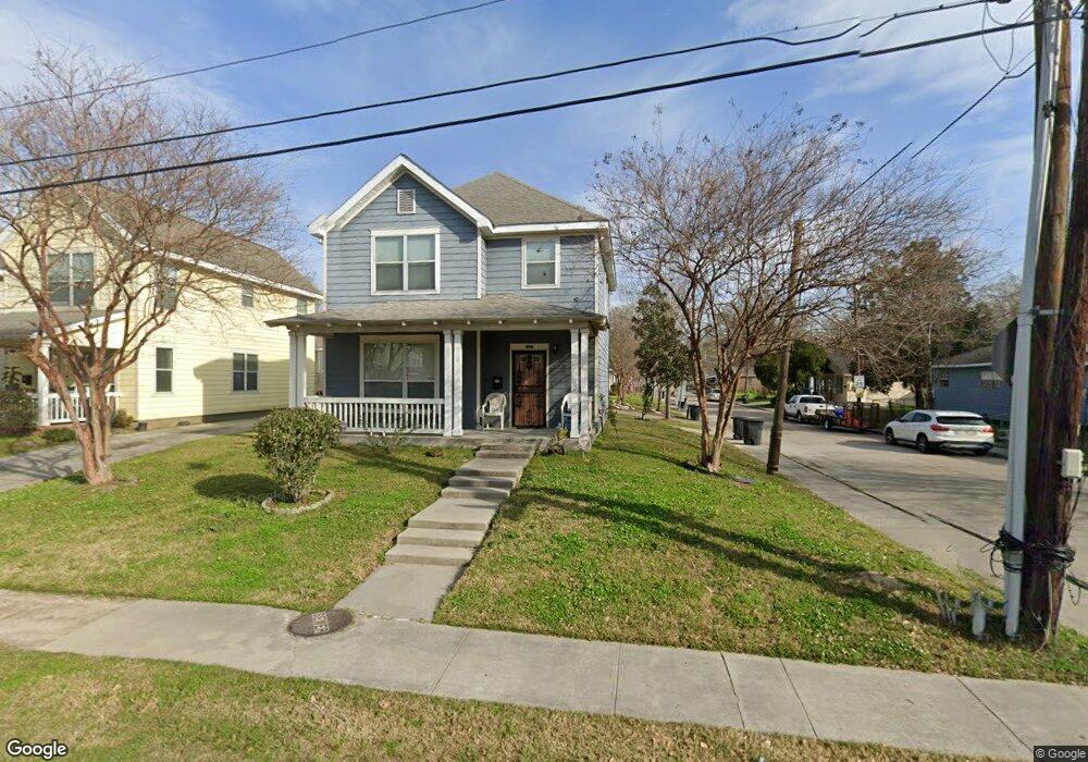
359 E Polk St Baton Rouge, LA 70802
Highlands/Perkins NeighborhoodEstimated Value: $100,000 - $143,000
3
Beds
3
Baths
1,415
Sq Ft
$83/Sq Ft
Est. Value
About This Home
This home is located at 359 E Polk St, Baton Rouge, LA 70802 and is currently estimated at $118,051, approximately $83 per square foot. 359 E Polk St is a home located in East Baton Rouge Parish with nearby schools including Buchanan Elementary School, Glasgow Middle School, and Mckinley Senior High School.
Ownership History
Date
Name
Owned For
Owner Type
Purchase Details
Closed on
May 2, 2008
Sold by
Housing Authority
Bought by
Netter Rose V
Current Estimated Value
Home Financials for this Owner
Home Financials are based on the most recent Mortgage that was taken out on this home.
Original Mortgage
$63,900
Outstanding Balance
$40,383
Interest Rate
5.84%
Mortgage Type
New Conventional
Estimated Equity
$77,668
Create a Home Valuation Report for This Property
The Home Valuation Report is an in-depth analysis detailing your home's value as well as a comparison with similar homes in the area
Home Values in the Area
Average Home Value in this Area
Purchase History
| Date | Buyer | Sale Price | Title Company |
|---|---|---|---|
| Netter Rose V | $99,900 | -- |
Source: Public Records
Mortgage History
| Date | Status | Borrower | Loan Amount |
|---|---|---|---|
| Open | Netter Rose V | $63,900 |
Source: Public Records
Tax History Compared to Growth
Tax History
| Year | Tax Paid | Tax Assessment Tax Assessment Total Assessment is a certain percentage of the fair market value that is determined by local assessors to be the total taxable value of land and additions on the property. | Land | Improvement |
|---|---|---|---|---|
| 2024 | $1,171 | $10,000 | $500 | $9,500 |
| 2023 | $1,171 | $10,000 | $500 | $9,500 |
| 2022 | $1,194 | $10,000 | $500 | $9,500 |
| 2021 | $1,167 | $10,000 | $500 | $9,500 |
| 2020 | $1,159 | $10,000 | $500 | $9,500 |
| 2019 | $1,211 | $10,000 | $500 | $9,500 |
| 2018 | $1,196 | $10,000 | $500 | $9,500 |
| 2017 | $1,196 | $10,000 | $500 | $9,500 |
| 2016 | $423 | $10,300 | $500 | $9,800 |
| 2015 | $390 | $10,000 | $500 | $9,500 |
| 2014 | $389 | $10,000 | $500 | $9,500 |
| 2013 | -- | $10,000 | $500 | $9,500 |
Source: Public Records
Map
Nearby Homes
- 1965 Kansas St
- 1820 Nebraska St
- 2389 Tennessee St
- 1952 Thomas H Delpit Dr
- 824 E Polk St
- 1907 Kansas St
- 2227 Kentucky St
- 262 E Grant St
- 210 W Polk St
- 2138 Minnesota St
- 1915 Tennessee St
- 478 W Johnson St
- 126 W Harrison St Unit 3
- 126 W Harrison St
- 230 Taylor St
- 180 W Harrison St
- 624 Lorri Burgess Ave
- 616 Lorri Burgess Ave
- Lot 23 W Johnson St
- 272 W Harrison St
- 349 E Polk St
- 337 E Polk St
- 2152 Kansas St
- 2161 Kansas St
- 2144 Kansas St
- 435 E Polk St
- 2171 Colorado St
- 2136 Kansas St
- 2145 Kansas St
- 2167 Colorado St
- 360 E Polk St
- 350 E Polk St
- 2137 Kansas St
- 2153 Colorado St
- 2130 Kansas St
- 2170 Alabama St
- 2122 Kansas St
- 2143 Colorado St
- 219 E Polk St
- 2170 Colorado St