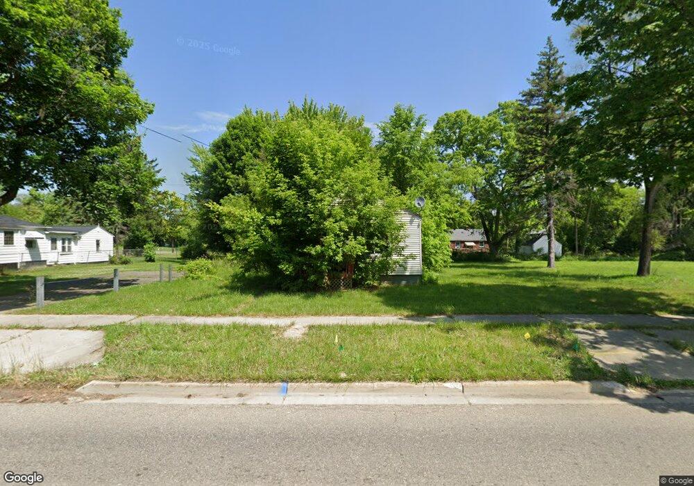
359 E Stewart Ave Flint, MI 48505
King Avenue Plus NeighborhoodEstimated Value: $23,000 - $36,000
Studio
1
Bath
716
Sq Ft
$41/Sq Ft
Est. Value
About This Home
This home is located at 359 E Stewart Ave, Flint, MI 48505 and is currently estimated at $29,500, approximately $41 per square foot. 359 E Stewart Ave is a home located in Genesee County with nearby schools including Brownell STEM Academy, The New Standard Academy, and Eagle's Nest Academy.
Ownership History
Date
Name
Owned For
Owner Type
Purchase Details
Closed on
Dec 19, 2019
Sold by
Cherry Deborah L
Bought by
County Land Bank Authority
Current Estimated Value
Purchase Details
Closed on
Apr 19, 2017
Sold by
Stair Philip G
Bought by
Bradley Latoya
Purchase Details
Closed on
Mar 30, 2012
Sold by
The Genesee County Land Bank Authority
Bought by
Bradley Latoya
Purchase Details
Closed on
Dec 22, 2011
Sold by
Genesee County Treasurer
Bought by
Genesee County Land Bank
Purchase Details
Closed on
Jan 4, 2002
Sold by
Woodring Frances and Woodring James Sharlene
Bought by
S Wolin & Co Realtors
Create a Home Valuation Report for This Property
The Home Valuation Report is an in-depth analysis detailing your home's value as well as a comparison with similar homes in the area
Home Values in the Area
Average Home Value in this Area
Purchase History
| Date | Buyer | Sale Price | Title Company |
|---|---|---|---|
| County Land Bank Authority | -- | None Available | |
| Bradley Latoya | -- | None Available | |
| Bradley Latoya | $4,145 | None Available | |
| Genesee County Land Bank | -- | None Available | |
| S Wolin & Co Realtors | $4,000 | -- |
Source: Public Records
Mortgage History
| Date | Status | Borrower | Loan Amount |
|---|---|---|---|
| Closed | Bradley Latoya | $0 |
Source: Public Records
Tax History
| Year | Tax Paid | Tax Assessment Tax Assessment Total Assessment is a certain percentage of the fair market value that is determined by local assessors to be the total taxable value of land and additions on the property. | Land | Improvement |
|---|---|---|---|---|
| 2025 | -- | $0 | $0 | $0 |
| 2024 | -- | $0 | $0 | $0 |
| 2023 | -- | $0 | $0 | $0 |
| 2022 | $0 | $0 | $0 | $0 |
| 2021 | $0 | $0 | $0 | $0 |
| 2020 | $268 | $0 | $0 | $0 |
| 2019 | $450 | $3,800 | $0 | $0 |
| 2018 | $417 | $3,800 | $0 | $0 |
| 2017 | $534 | $0 | $0 | $0 |
| 2016 | $531 | $0 | $0 | $0 |
| 2015 | -- | $0 | $0 | $0 |
| 2014 | -- | $0 | $0 | $0 |
| 2012 | -- | $0 | $0 | $0 |
Source: Public Records
Map
Nearby Homes
- 605 E Baltimore Blvd
- 3810 Marvin St
- 124 W Flint Park Blvd
- 4028 North St
- 680 E Pierson Rd
- 902 E Stewart Ave
- 329 W Baltimore Blvd
- 618 E Parkway Ave
- 902 Addison St
- 606 W Stewart Ave
- 906 Addison St
- 702/718 W Flint Park Blvd
- 350 E Mott Ave
- 506 W Marengo Ave
- 525 W Pulaski Ave
- 132 W Jamieson St
- 217 W Dewey St
- 200 W Mcclellan St
- 115 E Genesee St
- 4808 Edwards Ave
- 363 E Stewart Ave
- 367 E Stewart Ave
- 351 E Stewart Ave
- 360 E Eldridge Ave
- 401 E Stewart Ave
- 356 E Eldridge Ave
- 368 E Eldridge Ave
- 352 E Eldridge Ave
- 405 E Stewart Ave
- 402 E Eldridge Ave
- 360 E Stewart Ave
- 364 E Stewart Ave
- 356 E Stewart Ave
- 325 E Stewart Ave
- 368 E Stewart Ave
- 352 E Stewart Ave
- 411 E Stewart Ave
- 402 E Stewart Ave
- 326 E Eldridge Ave
- 321 E Stewart Ave
Your Personal Tour Guide
Ask me questions while you tour the home.